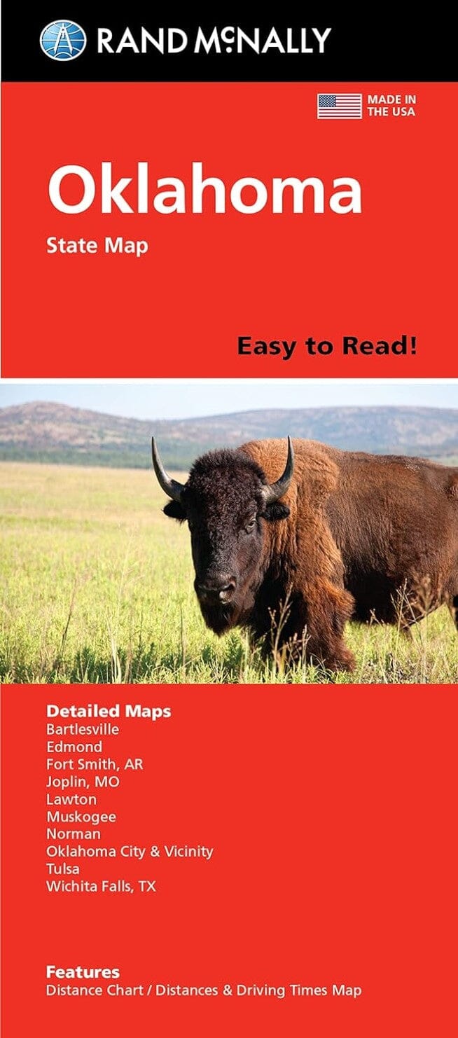
Rand McNally's folded map of Oklahoma is a must-have for anyone traveling in or through the state, offering unbeatable accuracy and reliability at a great price. Our reliable cartography shows all interstate, U.S., state, and county highways, and much more.
Points of Interest
State Parks Chart
State Mileage Chart
Driving Time Map
Roadside Toolbox
Visitor Center Information
Climate Data
State Facts and Symbols
Easy-to-Use Legend
Detailed Indexing
Detailed maps include: Bartlesville, Lawton, Muskogee, Norman, Oklahoma City and vicinity, and Tulsa.
ISBN/EAN : 9780528029141
Publication date: 2022
Folded dimensions: 9.45 inches x 4.33 inches (24 x 11 cm)
Unfolded dimensions: 23.23 inches x 26.38 inches (59 x 67 cm)
Language(s): English
Weight:
60 g


