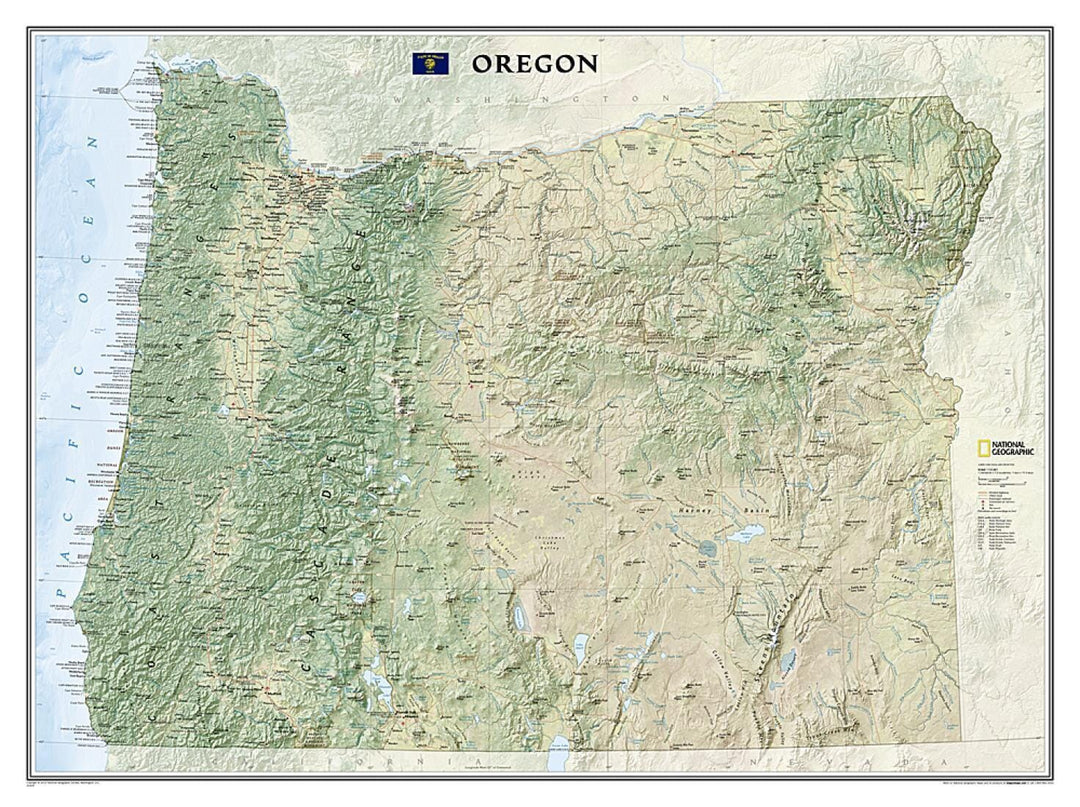
Oregon Wall Map (Tubed) published by National Geographic.
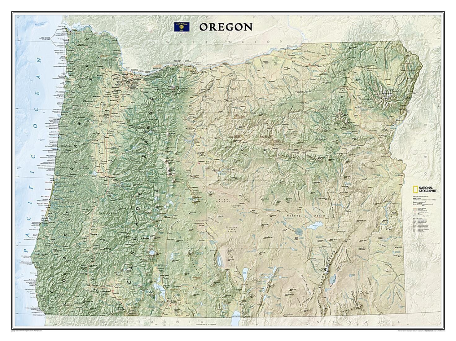
National Geographic's Oregon Wall Map brings the state's rich and diverse topography to life in elegant detail. Mountain ranges, prominent peaks, major lakes, rivers, and reservoirs, and other geographic features are highlighted. In addition to hundreds of place names, this map shows the precise locations of cities, major roads and railroads, airports, and national and state parks. Stunning shaded relief and vibrant colorization distinguish mountain ranges, forests, deserts, valleys, and other physical topography.
Also depicted is the Pacific Crest Trail, a long-distance hiking and equestrian trail that traverses the entire state from the California border to Washington. This striking map would make an attractive addition to any office or study.
The map is packaged in a 2"-diameter clear plastic tube. The tube features a decorative label showing a thumbnail of the map with dimensions and other relevant information.
Scale 1:725,807.
Map dimensions: 26.77 x 37.8 inches.
ISBN/EAN : 9781597752404
Publication date: 2009
Unfolded dimensions: 26.77 x 37.8 inches (68 x 96 cm)
Language(s): English
Weight:
180 g
