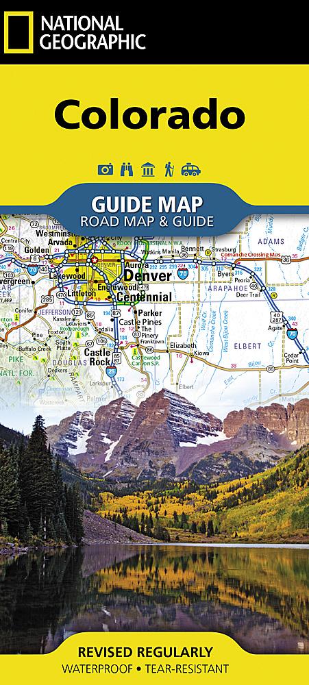
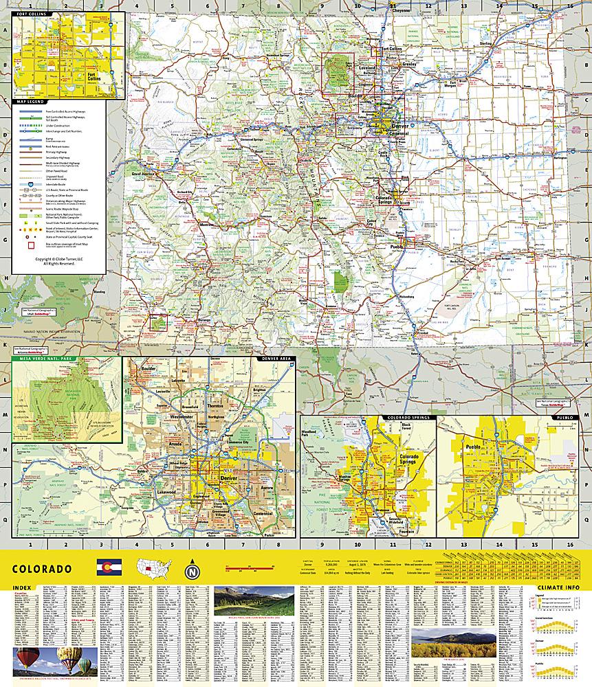
National Geographic's Trails Illustrated Map Pack Bundle of Uncompahgre National Forest is created for outdoor enthusiasts exploring year-round recreational opportunities in this unique region of southwestern Colorado. Researched and created by experts in cooperation with the U.S. Forest Service, Bureau of Land Management, and other agencies, this map provides unparalleled detail about Uncompahgre National Forest. Use mapped trails, off-road vehicle routes, and Forest Service roads to get off the beaten path and back again as you explore the region's mesas and canyons. Trails are labeled for their intended use, whether exploring by foot, ski, horseback, ATV, motorcycle, or OHV, including rock crawling trails. Seasonal roads and trails are labeled with their access dates. To make it easier to navigate the region, the maps display contour lines, elevations, labeled peaks and summits, water features, selected waypoints, and clear, color-coded boundaries between different land management areas.


