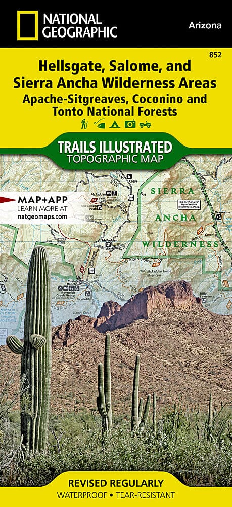
Hiking map No. 852 - Hellsgate, Salome & Sierra Ancha Wilderness Areas - Apache - Sitgreaves, Coconino & Tonto National Forest (Arizona) | National Geographic
Regular price
1423 €
Regular price
Sale price
1423 €
/
- Shipping within 48 business hours from our warehouse in the USA. For this product, customs fees may be requested by the carrier upon delivery.
- Choose your delivery method and cost at checkout, before confirming your order.
- Free returns (*)
- Real-time inventory