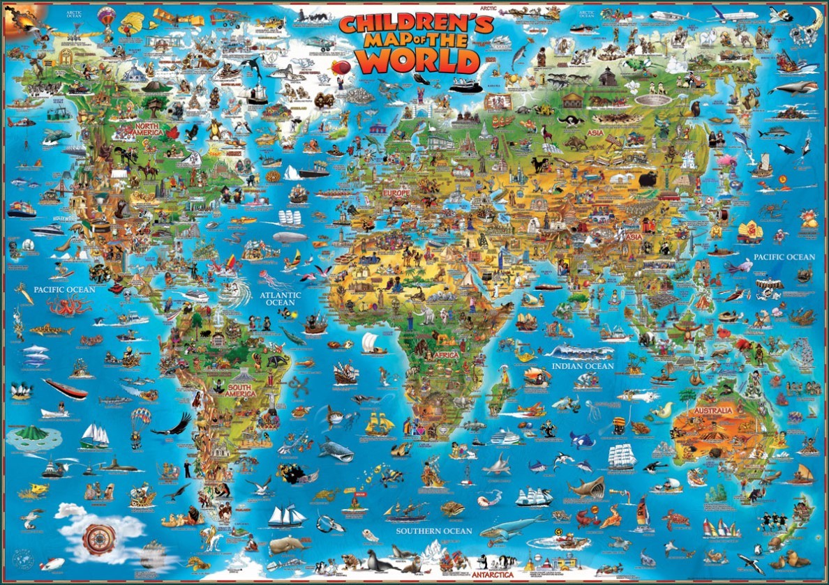
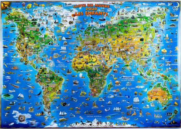
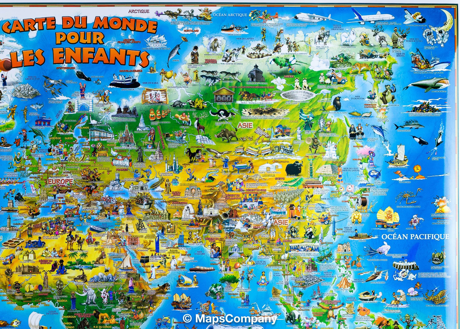
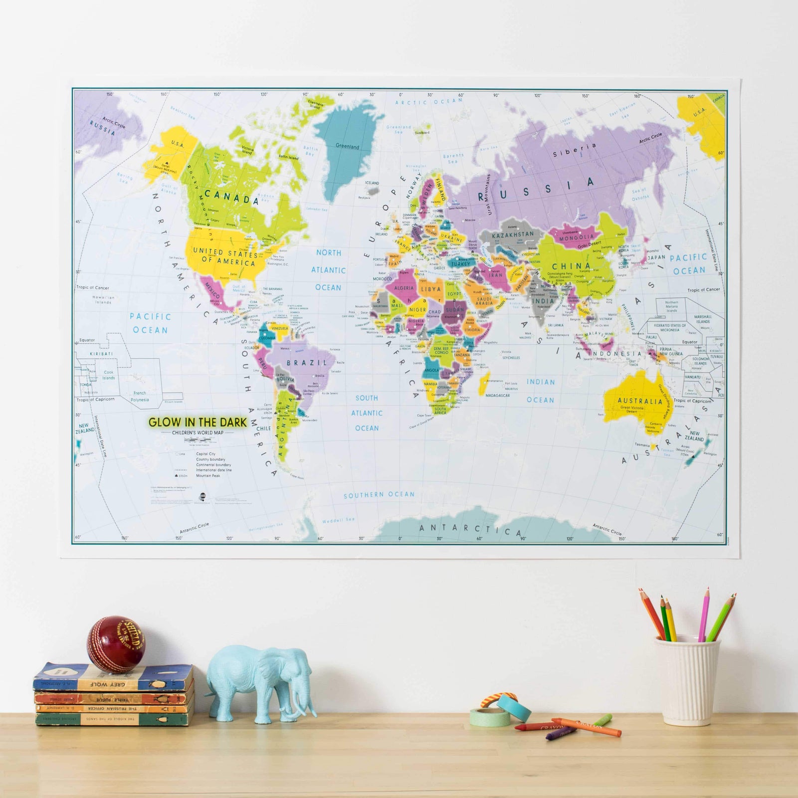
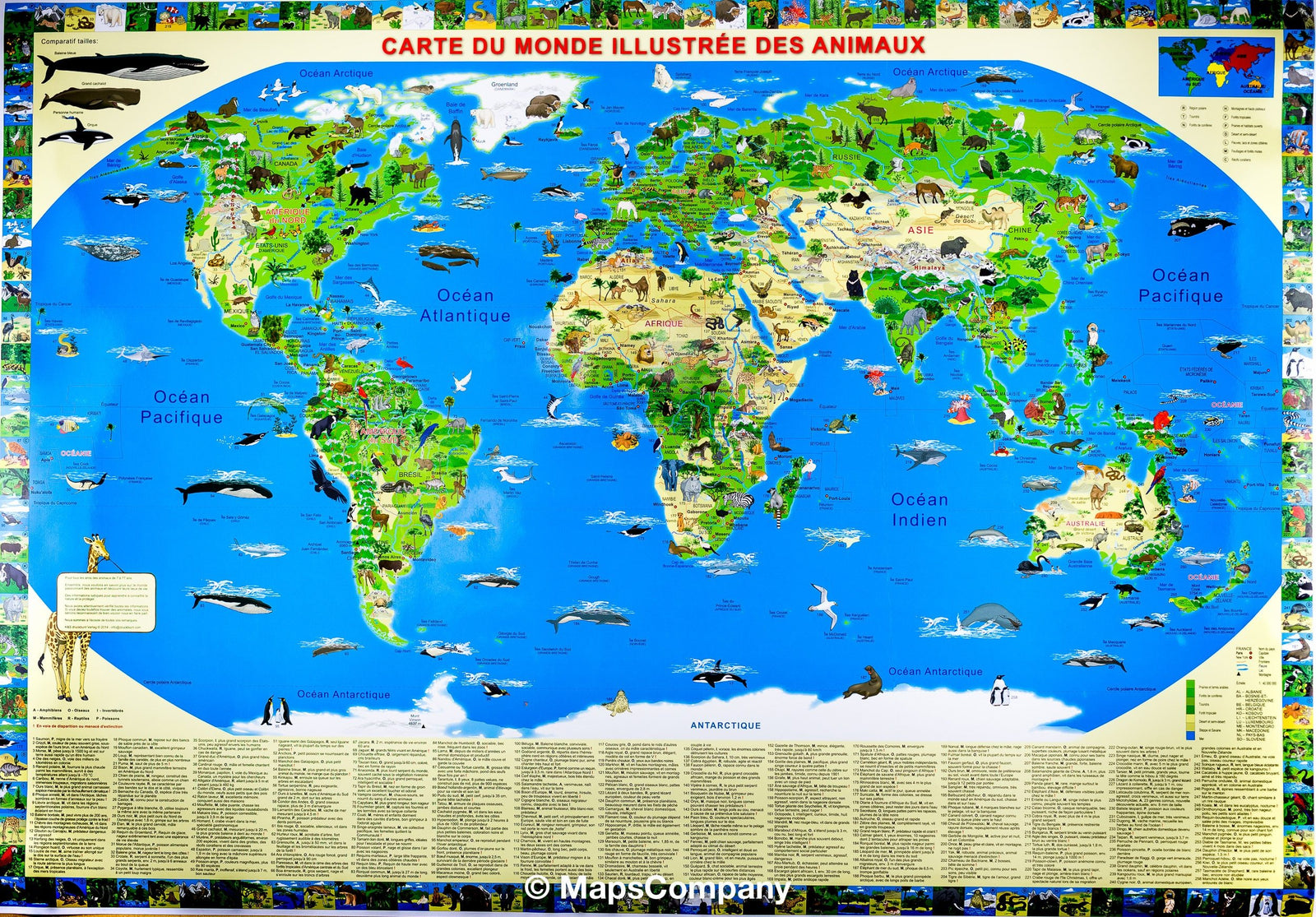
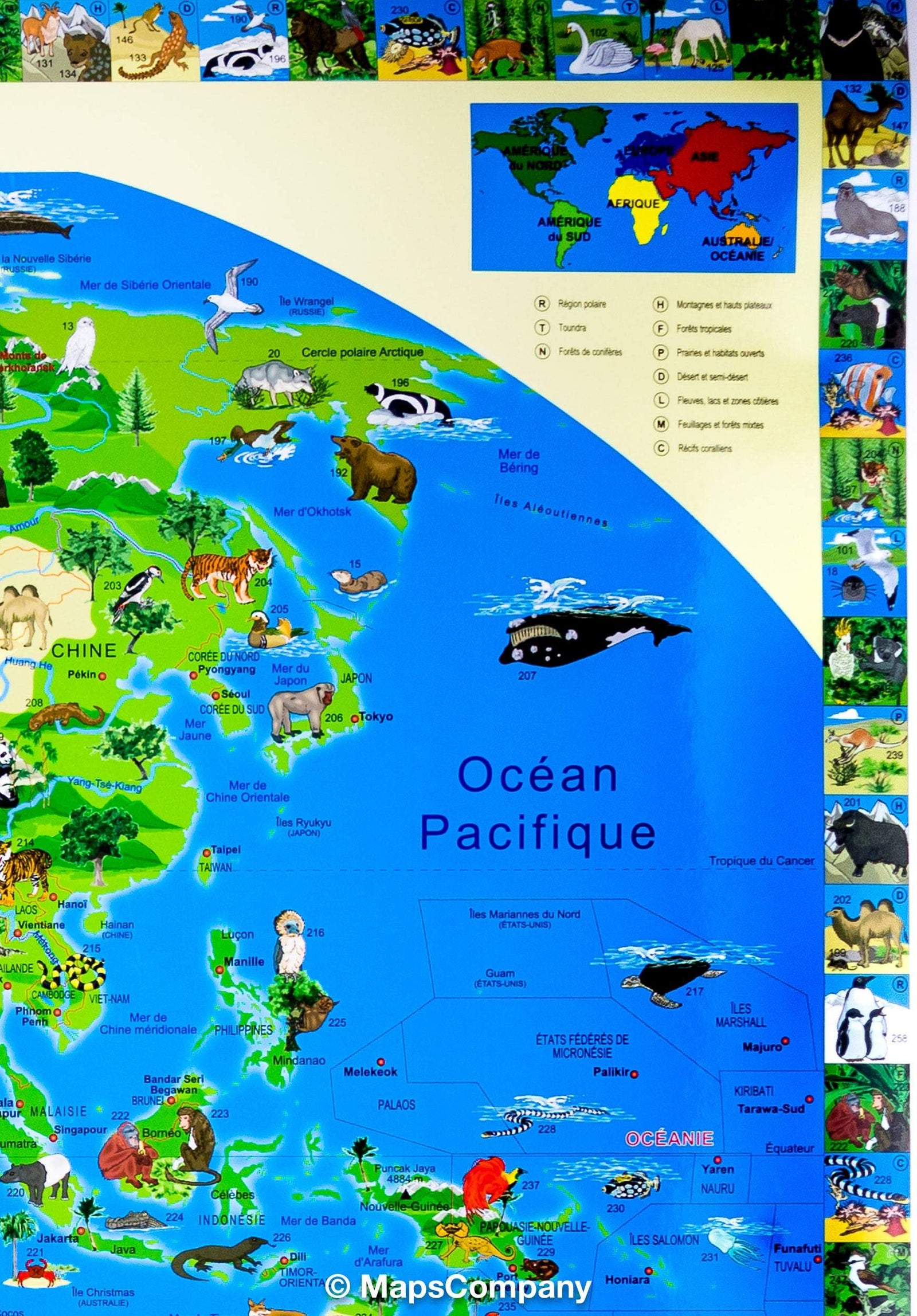
Illustrated Wall Map for Children (Laminated) - The World - 137 x 100 cm (in English) | Dino
- Shipping within 7 to 10 working days from our warehouse in France
- Shipping method and fees are shown at checkout
Over 19,500 maps 🗺️ and travel guides, hiking maps, posters, globes, and décor items in stock!
Rated Excellent ⭐️ on Trustpilot — 9,000+ reviews from explorers and map lovers worldwide.
Explore the world, one map at a time 🗺️
Illustrated world wall map for children (in English) published by Dino Maps, ideal for decorating a child's bedroom. The map presents various countries, illustrating their geography, ethnography (folklore, history, culture), gastronomy, biology (animals, marine life, flora), and other general facts (related to sports, aviation, ships, and boats) with over 500 symbols.
Dimensions of this wall map: 137 x 100 cm.
This map is laminated, making it more durable. A worldwide bestseller!
ISBN / EAN : 9781905502226
Impression: front
Dimensions déplié(e) : 137 x 100cm
Langue : English
Poids :
335 g
The exclusive newsletter for travel and discovery enthusiasts!