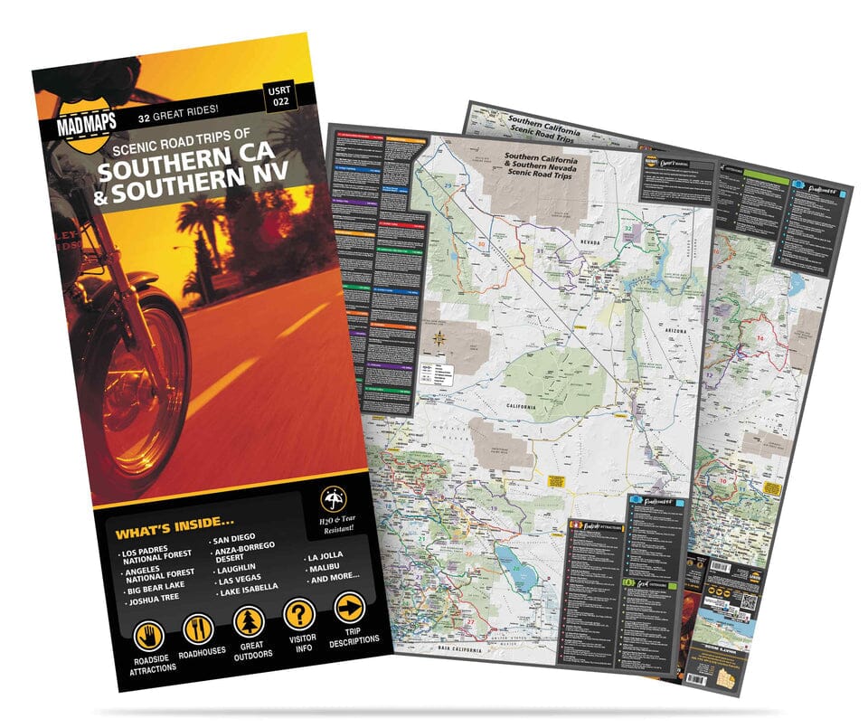
Southern California and Southern Nevada USA Road Map: Featuring maps of Southern California and Southern Nevada with 32 road trips. Whether you're looking for a fun-filled day trip or a relaxing weekend getaway, these maps are the ultimate road trip planner as you take to the scenic highways of this region's diverse terrain. Local scouts have already done the work for you by finding the best routes. By car, RV, or motorcycle? These travel maps will fit your style. Covering the best scenic drives from the Monterey-Carmel Peninsula all the way to Mexico, they include 35 scenic routes in the region—so there's something for everyone. The California Coast Highway (Route 1) is a highlight, allowing you to discover quintessentially Californian towns such as Monterey, Carmel, Big Sur, and Santa Barbara. Off the coast, you can explore gems like Los Padres National Forest, Angeles National Forest, Death Valley, Joshua Tree, and Hoover Dam. This California and Nevada travel map is definitely your guide.
