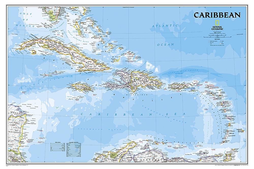
The Caribbean Sea is one of the most popular cruise destinations in the world.
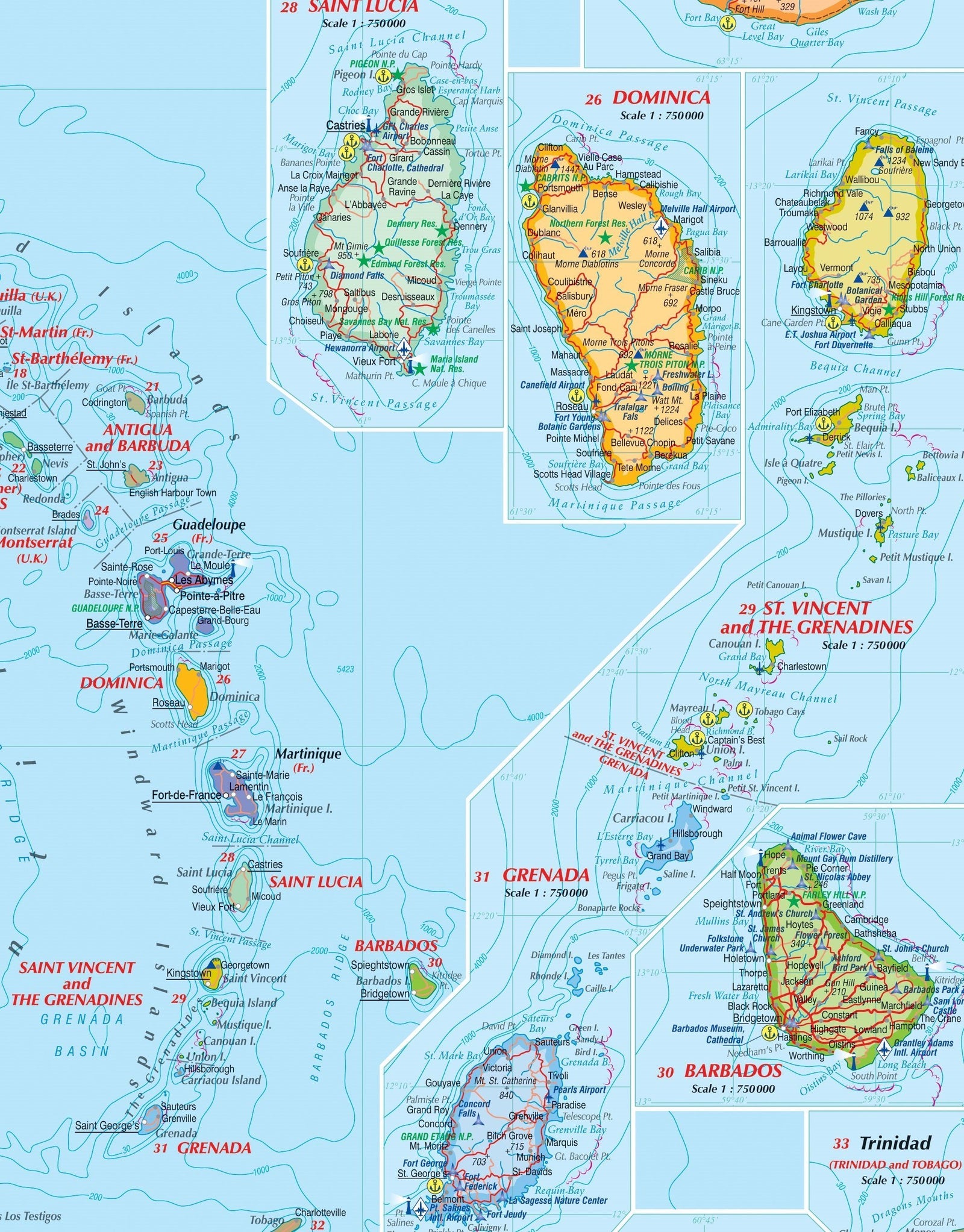
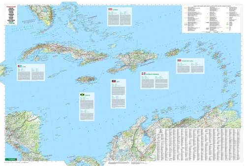
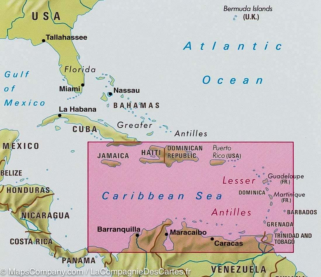
This colorful double-sided map begins just north of Orlando/Tampa to show the northernmost and southernmost Bahamian islands, extending to the Panama Canal at Colon and the coast of Venezuela. The map shows good detail for each island and the legal boundaries of each island nation.
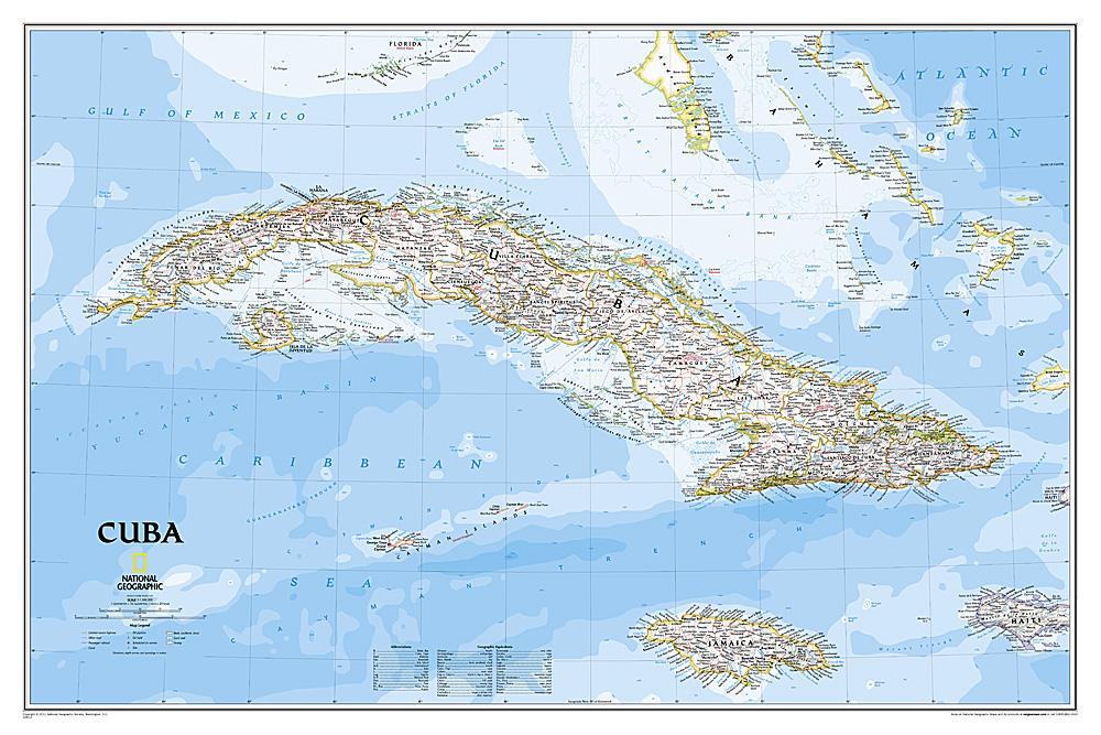
The front focuses on the Western Caribbean, primarily the Bahamas, Cuba, Jamaica, and the Cayman Islands.
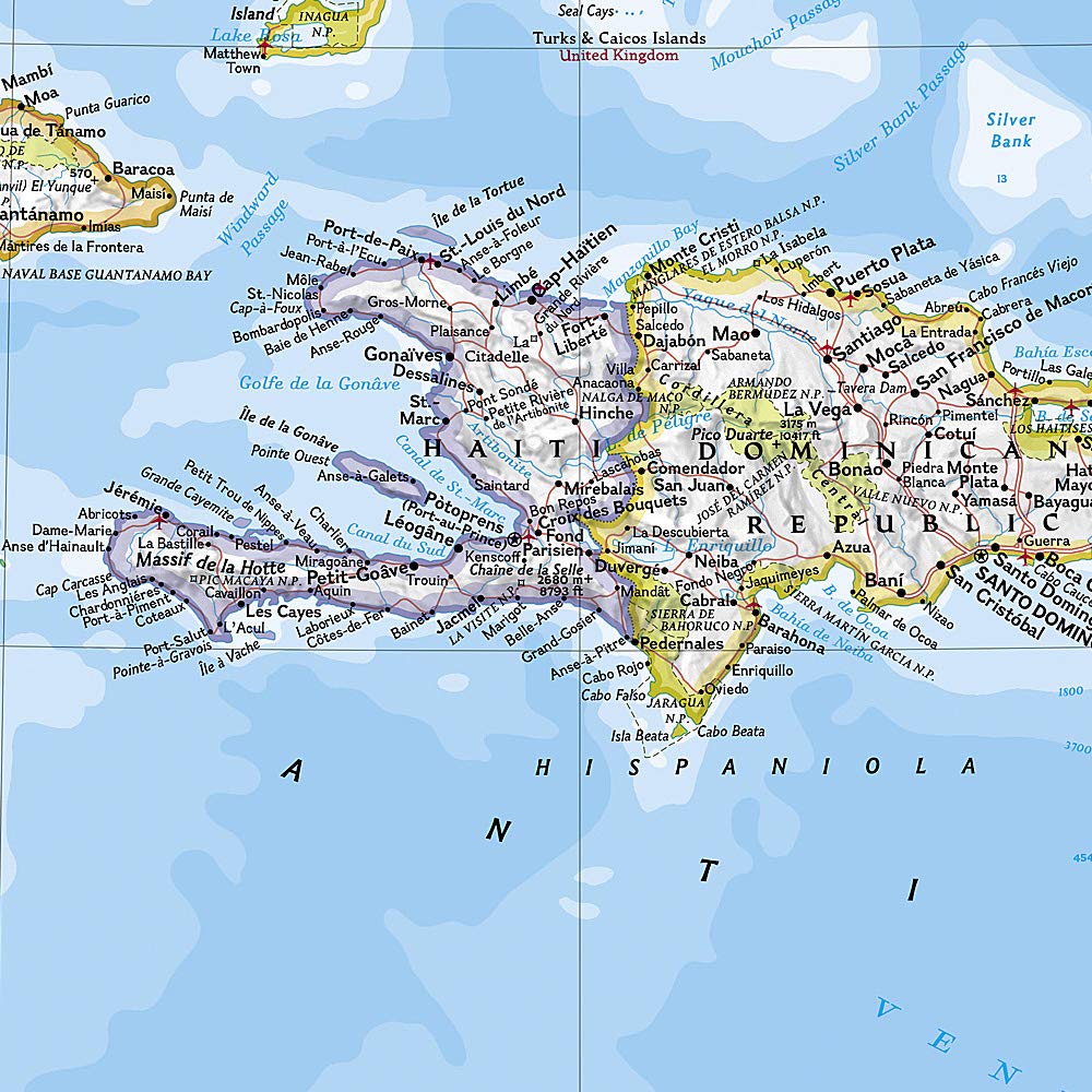
The back focuses on the eastern Caribbean islands, such as Hispaniola (Haiti and the Dominican Republic), Puerto Rico, the U.S. and British Virgin Islands, Turks & Caicos, and the Lesser Antilles chain of island nations, including Antigua, Guadeloupe, Barbados, and Trinidad and Tobago, among others. The coverage then extends westward along the Venezuelan coast to include the Dutch possessions of Aruba, Bonaire, and Curaçao.
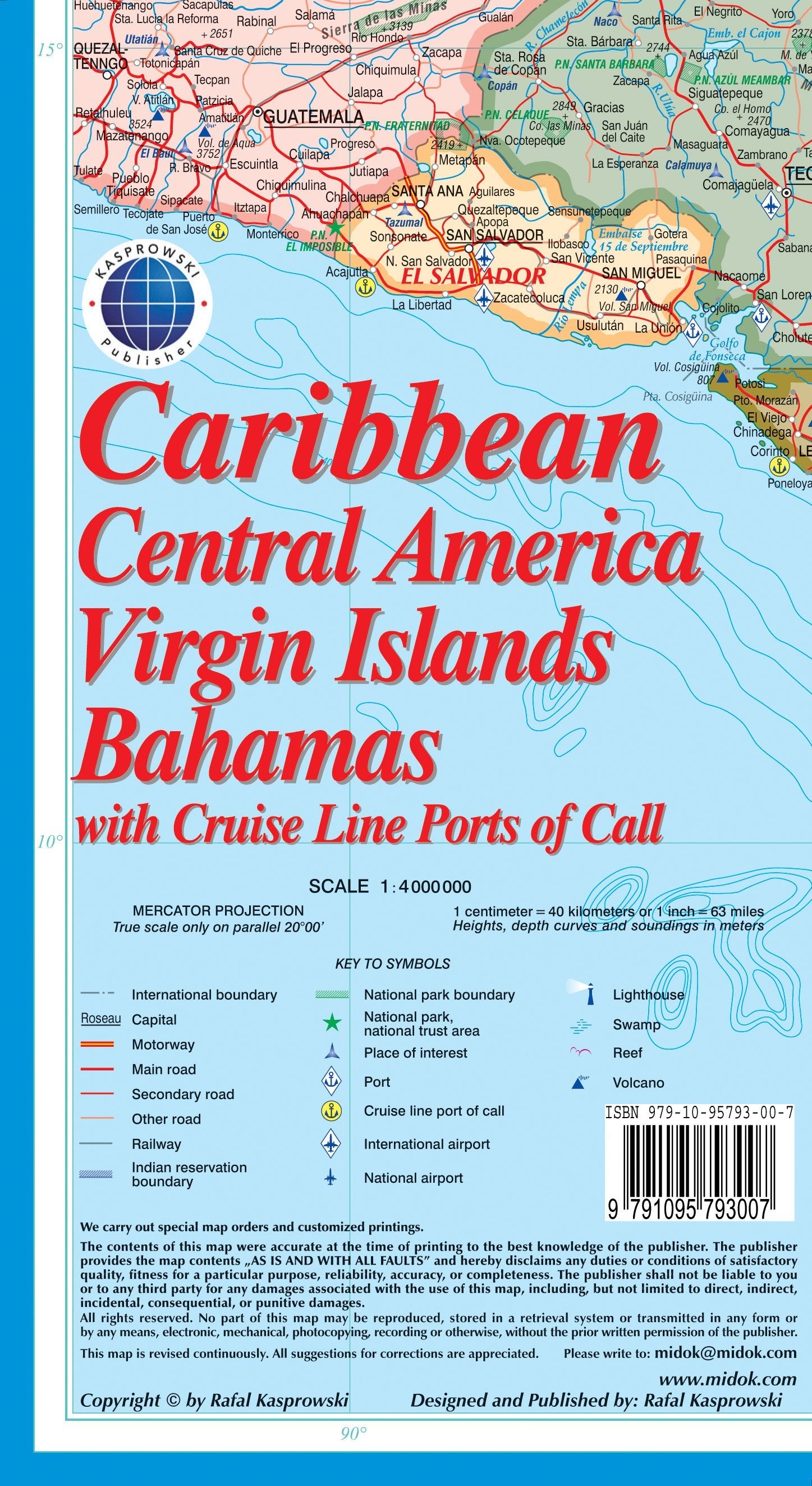
The legend includes:
Roads by classification, rivers and lakes, national parks, airports, points of interest, highways, major roads, zoos, fishing, etc.