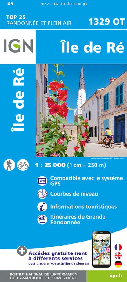
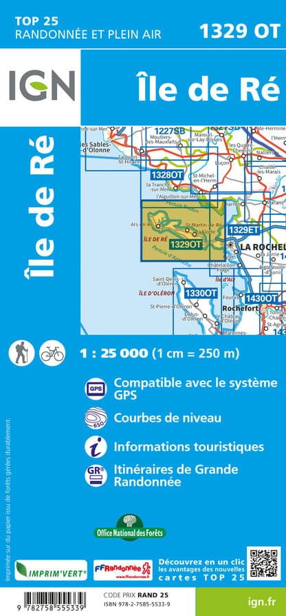
TOP 25 topographic map No. 1329OT of the Ile de Ré published by IGN. Hiking map with contour lines spaced 10 meters apart and detailed legend (vegetation, rocks, watercourses, etc.).
Indication of hiking trails. Scale 1/25,000 (1 cm = 250 m).
Municipalities covered: L'Houmeau, Sainte-Marie-de-Ré, La Flotte, Saint-Martin-de-Ré, Ars-en-Ré, Loix, Saint-Clément-des-Baleines, Le Bois-Plage-en-Ré, Rivedoux-Plage, La Couarde-sur-Mer, Les Portes-en-Ré
Places to discover: Marais Poitevin Regional Natural Park, Pertuis Breton, Pertuis d'Antioche, Anse de l'Aiguillon, Bois de Trousse-Chemise, Pointe de l'Aiguillon, Pointe d'Arçay, Île de Ré, Ensembles Littoraux and Marais of the Île de Ré, Pointe des Baleines, Pointe de Chassiron, Ramparts of La Rochelle, Fort de la Prée, Lileau des Niges nature reserve, Chanchardon lighthouse, Former Abbey of the Châteliers, Lighthouse of the Whales


