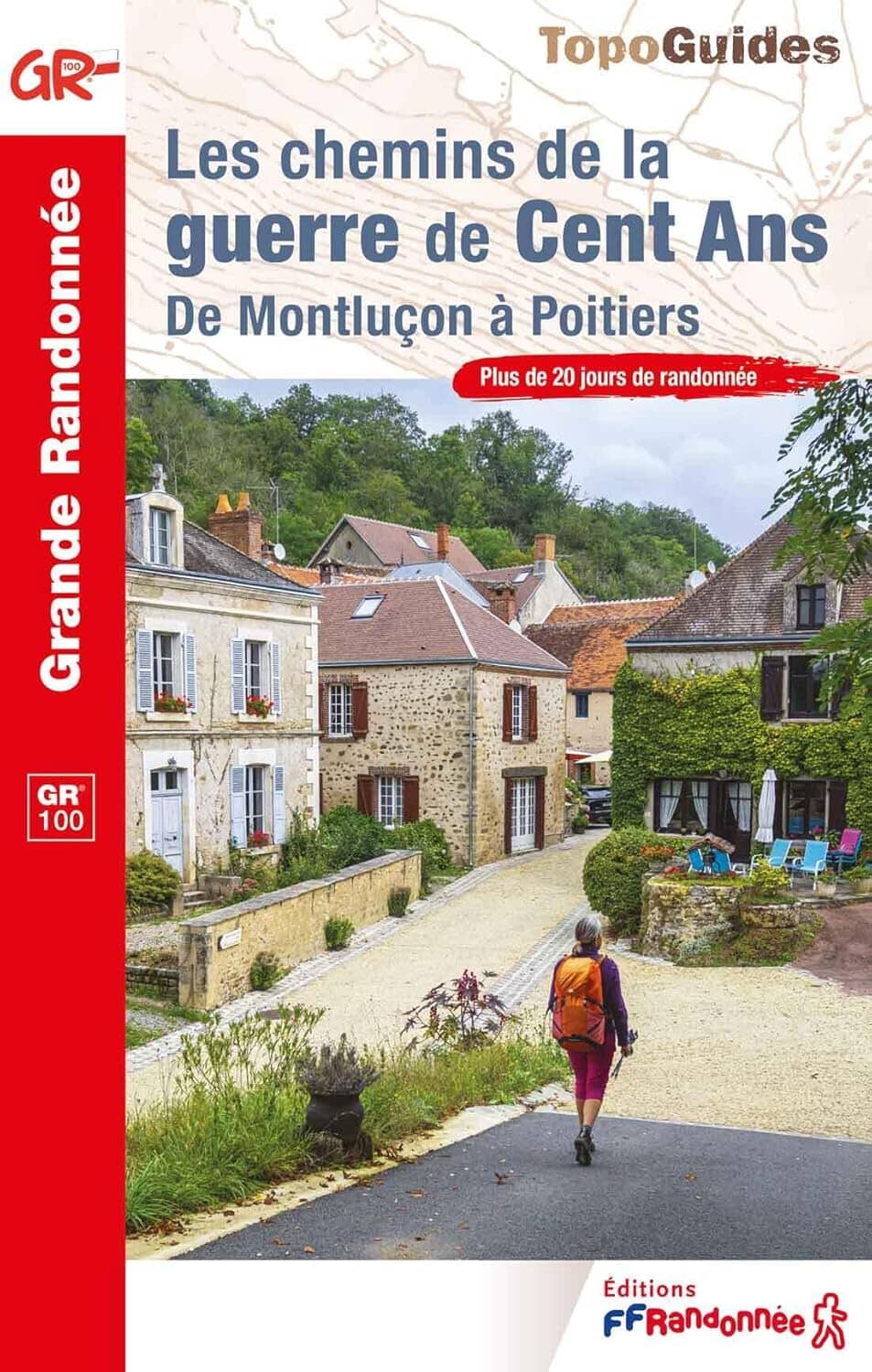
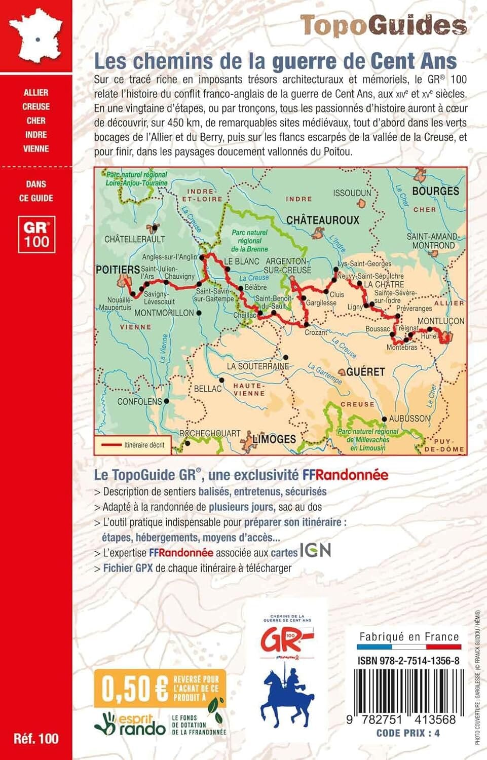
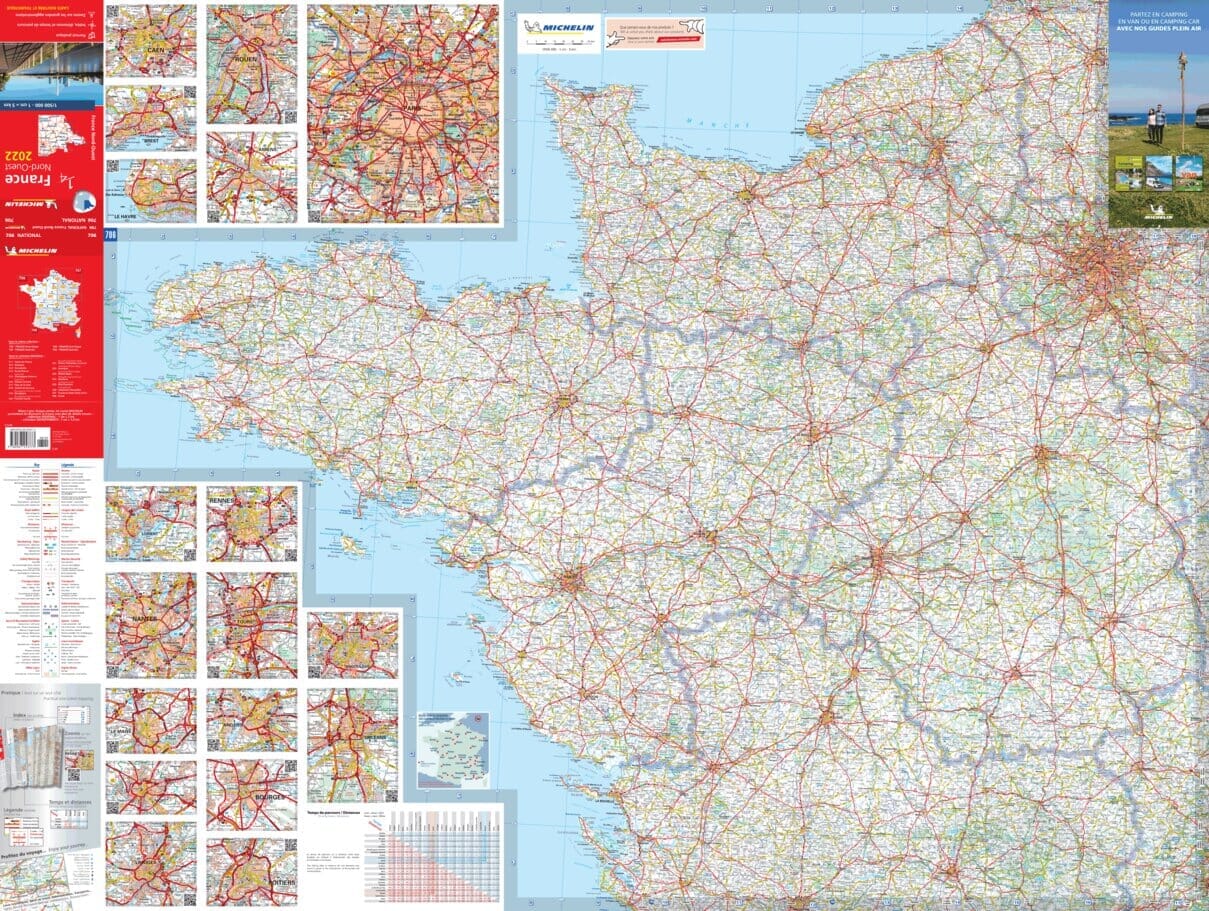
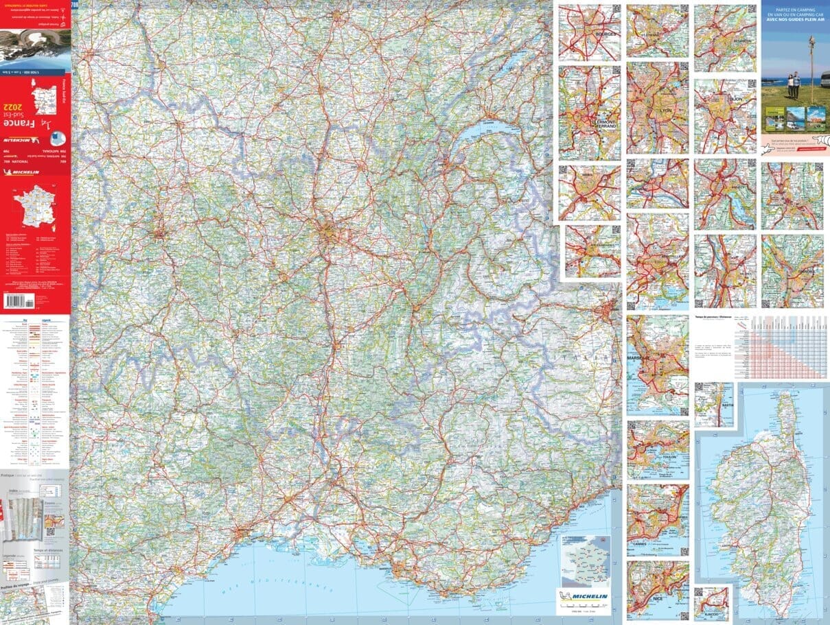
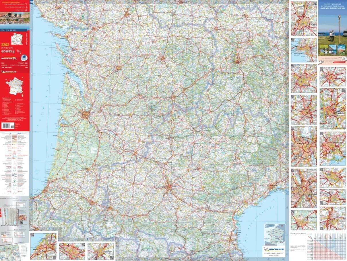
The essential hiking map! These highly accurate topographic maps contain all the details existing on the ground: communication routes down to the smallest path, buildings down to the shed, woods, isolated trees, rivers, springs... Not forgetting the representation of the relief by contour lines.
Municipalities covered : Bourbon-l'Archambault, Buxières-les-Mines, Châtillon, Souvigny, Agonges, Autry-Issards, Saint-Menoux, Montilly, Gipcy, Meillers, Marigny, Coulandon, Theneuille, Ygrande, Saint-Aubin-le-Monial, Vieure, Rocles, Saint-Plaisir, Saint-Hilaire, Noyant-d'Allier, Cressanges, Buxières-les-Mines, Torteza
Places to discover : Gros-Bois Priory State Forest, Dreuille State Forest, Civrais State Forest, Bagnolet State Forest, Medieval Fortress, Vieux Bostz, Plessis Castle, Bignon Castle, La Salle Castle, Former Abbey


