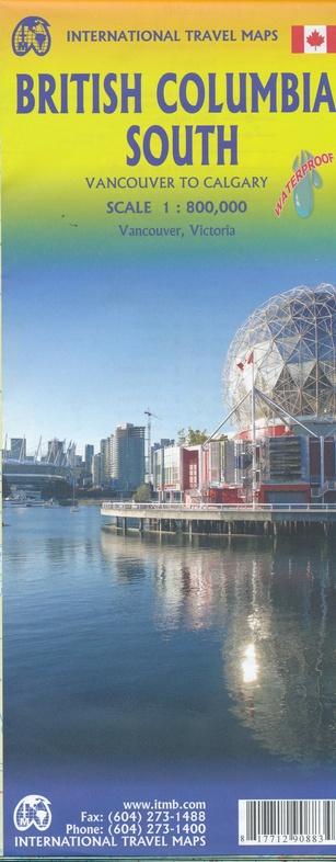
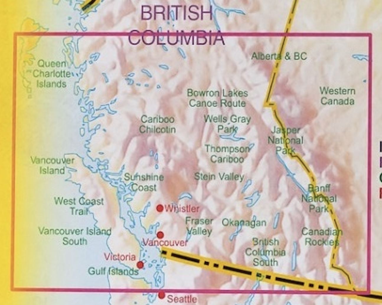
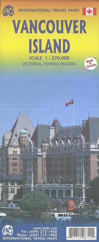
Travel map - Queen Charlotte Islands (Haida Gwaii) & British Columbia Coast | ITM

Price
Regular price 1190 €
Regular price Sale price 1190 €
/
  • Shipping within 24 working hours from our warehouse in France
  • Choisissez votre mode et vos frais de livraison à l’étape de paiement, avant de valider.
  • Retours gratuits (*)
  • Stocks en temps réel
  • In stock, ready to ship
  • Backordered, shipping soon
Tax included.

Souvent achetés ensemble :

Detailed map of Queen Charlotte's Islands or Haida Gwaii (Canada) published by ITM. Detailed ladder map 1/280,000 (1 cm = 2, 8 km) which covers the entire Haida Gwaii archipelago located west of British Columbia. On the back, map of the coast of British Columbia extending from the northern border of the United States to Prince Rupert. Scale 1 / 900,000 (1 cm = 9 km). Both sides highlight the best points of interest and major, such as Ninstints at the southern tip of Haida Gwaii. This map is waterproof and resistant to tearing.


ISBN/EAN : 9781771293341
Publication date: 2017
Scale: 1/280,000 (1 cm = 2.8 km) & 1/900,000 (1 cm = 9 km)
Printed sides: both sides
Folded dimensions: 24.6 x 10.3 x 0.5cm
Unfolded dimensions: 66 x 100cm
Language(s): English
Weight: 77 g