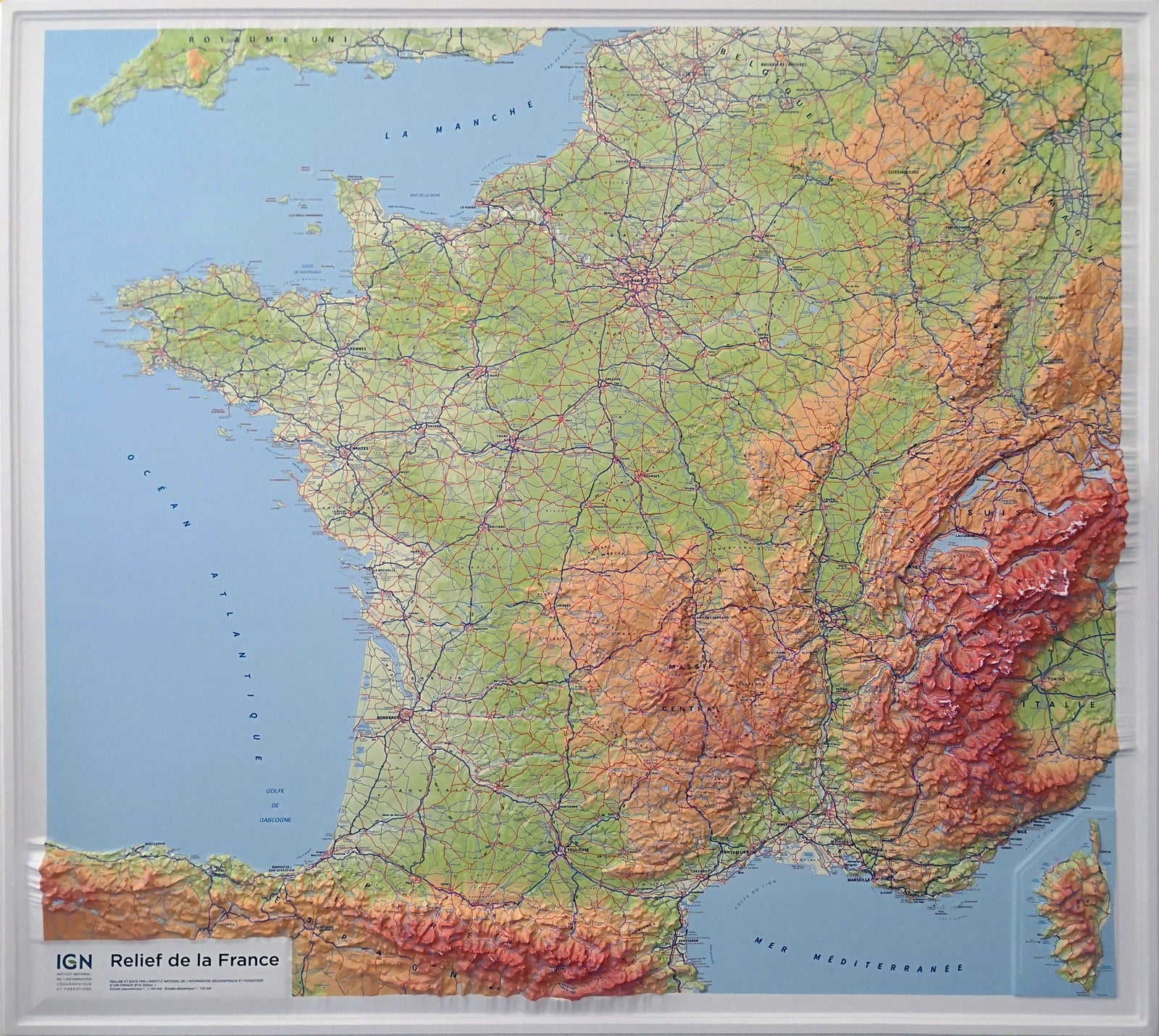
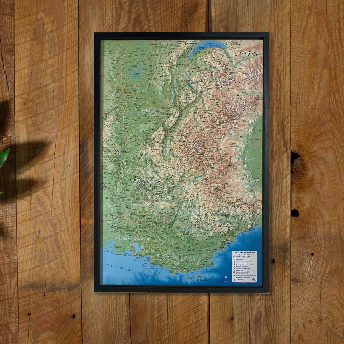
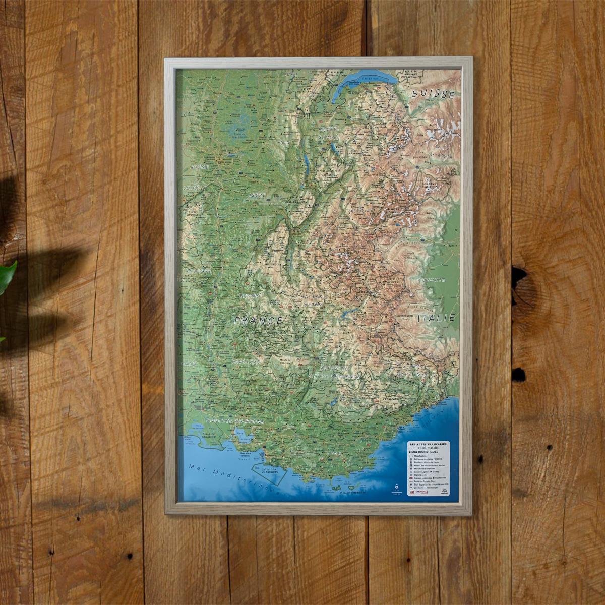
Wall map with relief - Cevennes, Gorges du Tarn and Ardèche - 80 x 113 cm | IGN (French)
- Made to order - Shipping within 5 to 8 working days
- Shipping method and fees are shown at checkout
Over 19,500 maps 🗺️ and travel guides, hiking maps, posters, globes, and décor items in stock!
Over 19,500 maps 🗺️ and travel guides, hiking maps, posters, globes, and décor items in stock!
Rated Excellent ⭐️ on Trustpilot — 9,000+ reviews from explorers and map lovers worldwide.
Rated Excellent ⭐️ on Trustpilot — 9,000+ reviews from explorers and map lovers worldwide.
Explore the world, one map at a time 🗺️
Explore the world, one map at a time 🗺️
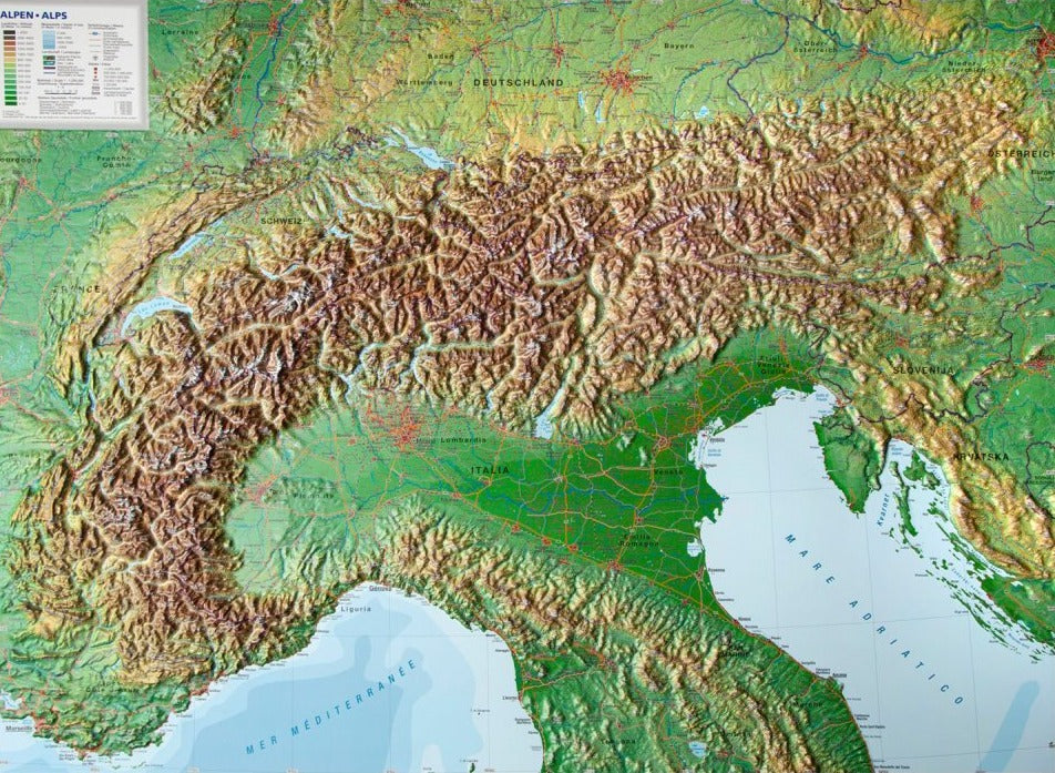
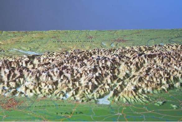
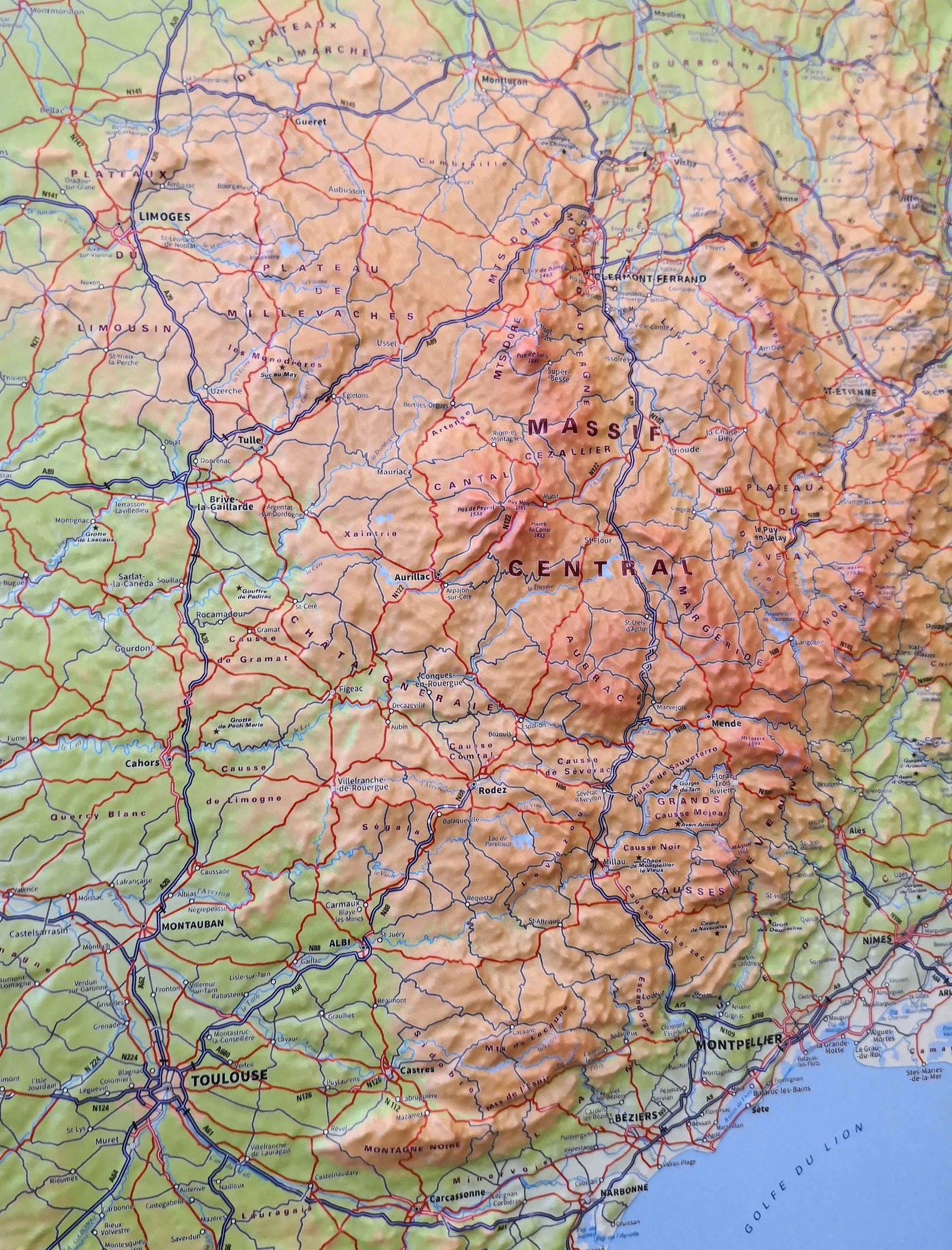
Wall map in relief of the Cevennes, Tarn and Ardèche gorges. Decorative element or educational tool, you choose the function of this embossed map of the IGN.
This map covers Mount Aigoual, Mont Lozère, the Gorges de la Jonte and Dourbie, Causse Méjan, Causse Black.
ISBN / EAN : 9782758545897
Date de publication : 2018
Echelle : 1/110,000 (1cm=1.1km)
Impression: front
Dimensions déplié(e) : 80 x 113cm
Langue : French
Poids :
1395 g
Envoi rapide et soigné. Une carte IGN en relief.
très jolie carte mais les frais de port ABUSIF
Bonjour,
C'est exact que les frais de port sont élevés pour ce type de produit, mais c'est parce que les coûts de transport qui nous sont facturés sont également très élevés (et nous ne répercutons pas la totalité de ce prix à nos clients).
La Compagnie des Cartes
The exclusive newsletter for travel and discovery enthusiasts!


