Relief wall map - Tyrol (in English), with aluminum frame - 77 x 57 cm | Georelief
- Expédition sous 7 à 10 jours ouvrés depuis notre entrepôt en France
- Frais de livraison calculés instantanément dans le panier
Plus de 19 500 cartes 🗺️ et guides de voyage, cartes de randonnée, posters, globes, déco en stock !
Plus de 19 500 cartes 🗺️ et guides de voyage, cartes de randonnée, posters, globes, déco en stock !
La Compagnie des Cartes devient Cartovia ✨ Notée Excellent ⭐️ sur Trustpilot (9 000+ avis).
Livraison gratuite pour toute commande > 50 € (cartes pliées et guides, France métropolitaine)
Livraison gratuite pour toute commande > 50 € (cartes pliées et guides, France métropolitaine)
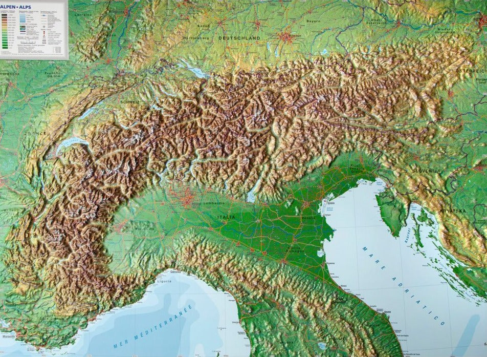
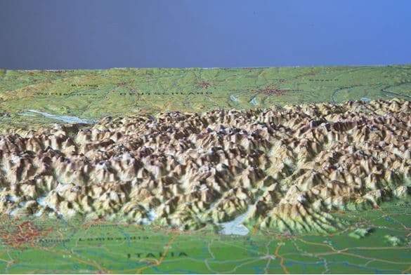
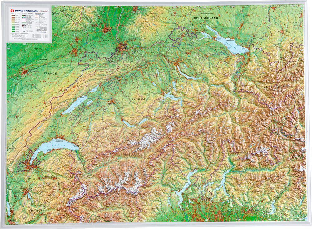
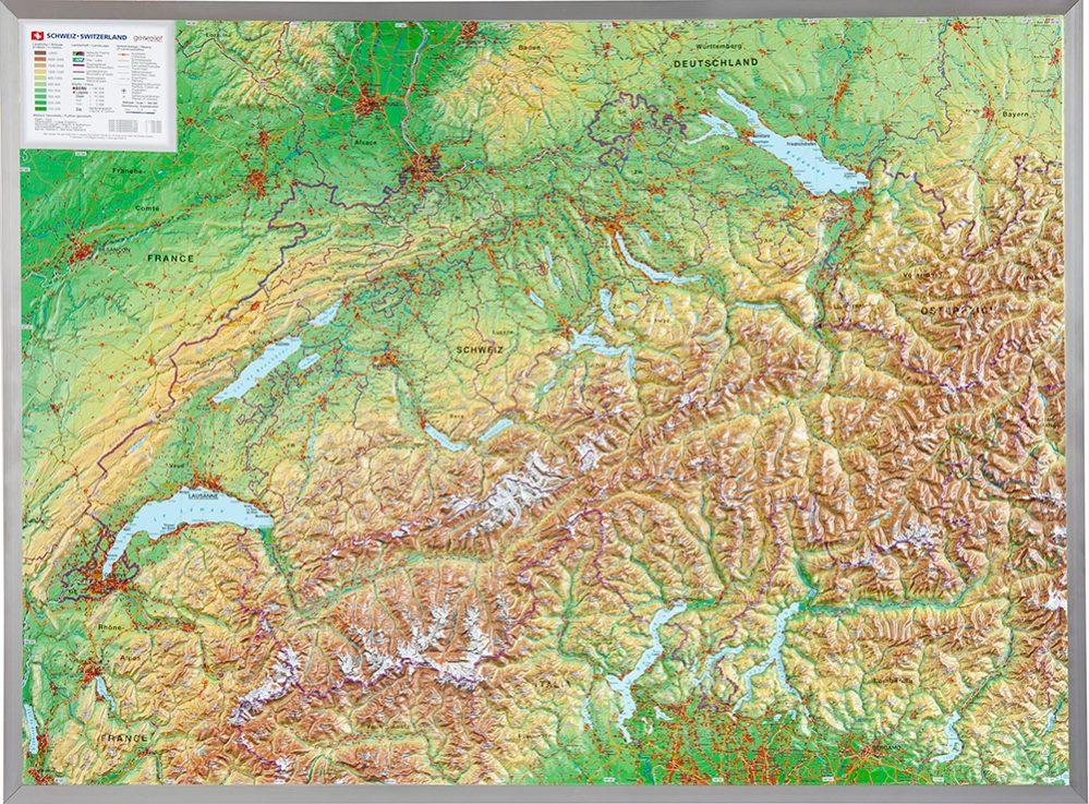
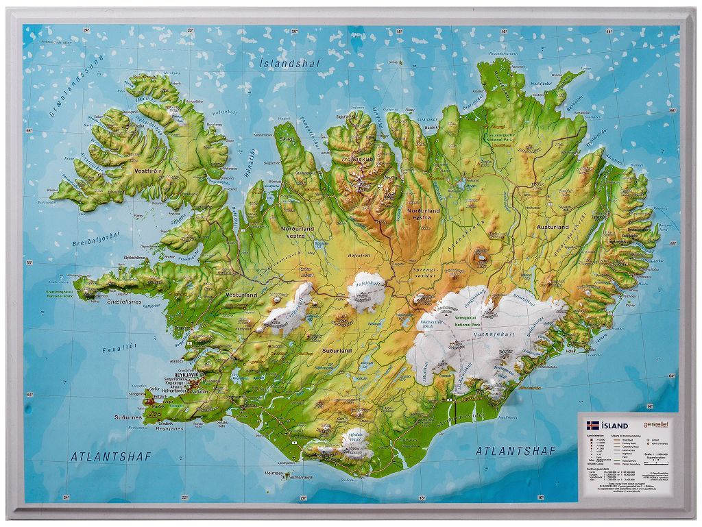
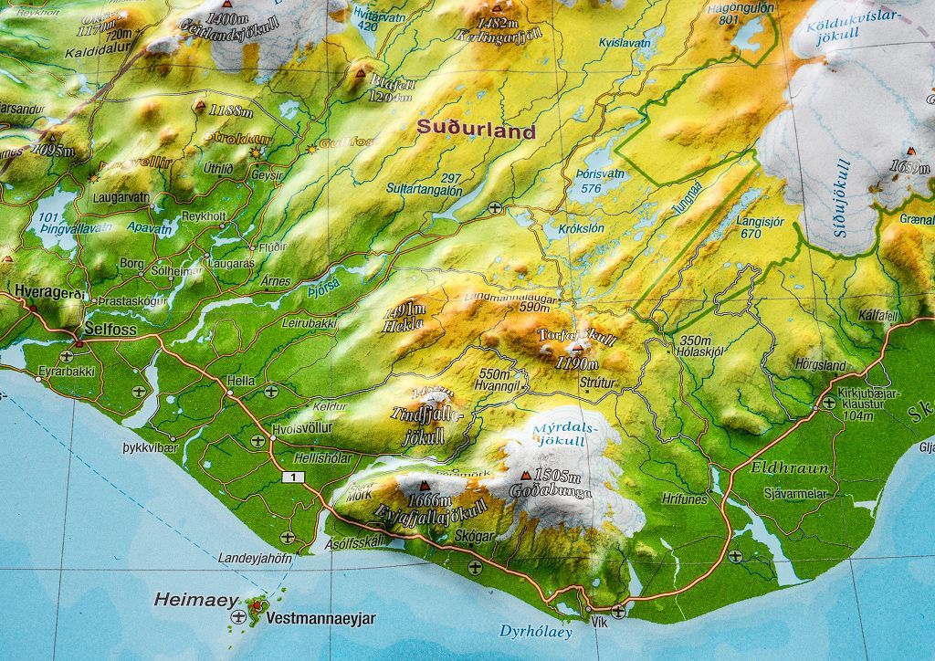
Relief map of Tyrol published by Georelief. This map is sold framed with an aluminum frame.
Tyrol is located in the heart of the Alps. Today, it consists of Tyrol, East Tyrol, and South Tyrol, which is part of Italy. Their shared roots are clearly visible. A love of nature and wild mountains has united the people inseparably. Our relief map of Tyrol shows you the picturesque highlights of this magnificent region in the heart of Europe.
Features:
ISBN / EAN : 4251405901065
Date de publication : 2024
Echelle : 1/325,000 (1 cm = 3.25 km)
Impression: front
Dimensions déplié(e) : 77 x 57cm
Langue : English
Poids :
2180 g
L'infolettre exclusive des passionnés de voyage et de découverte !


