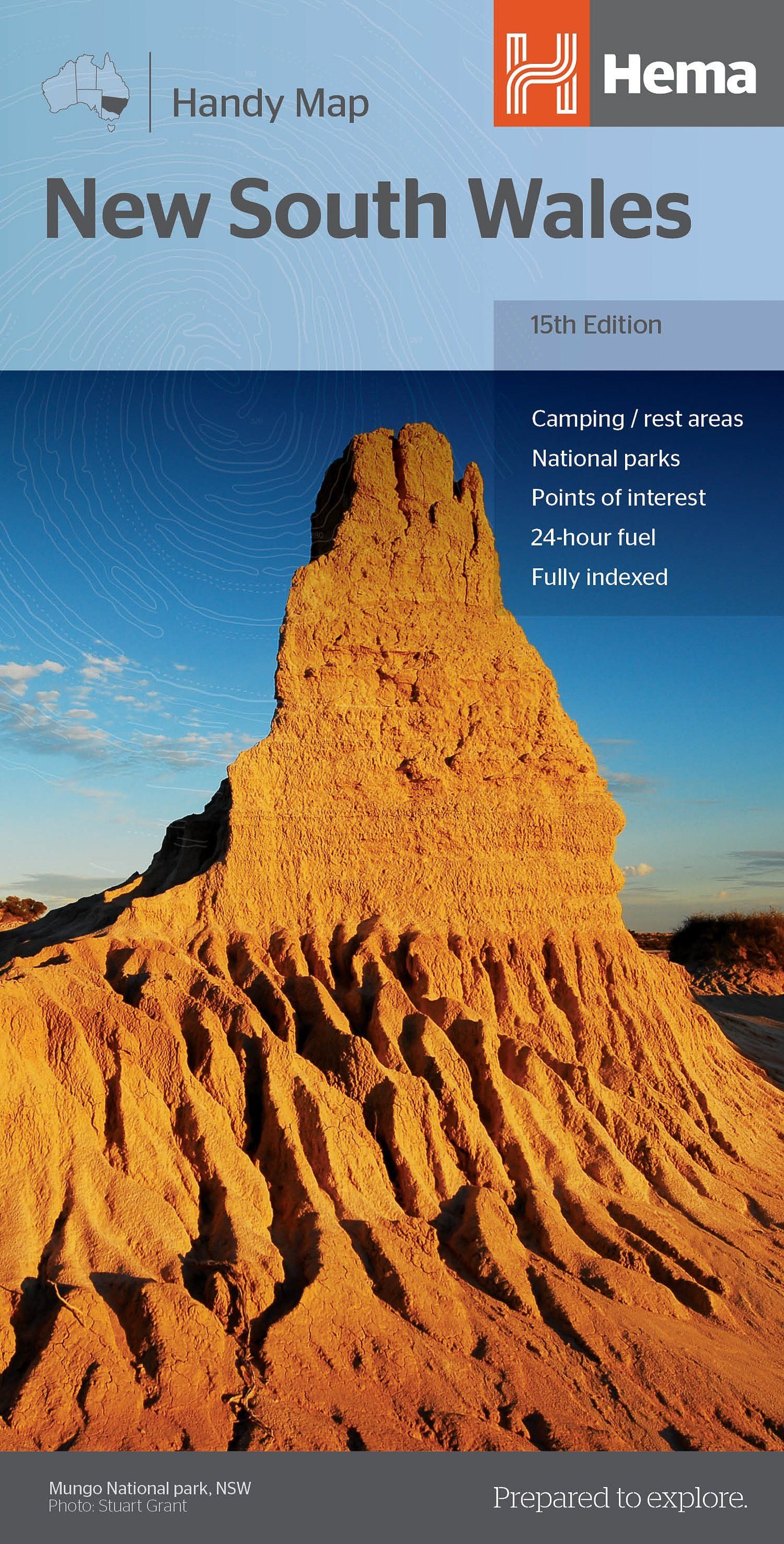
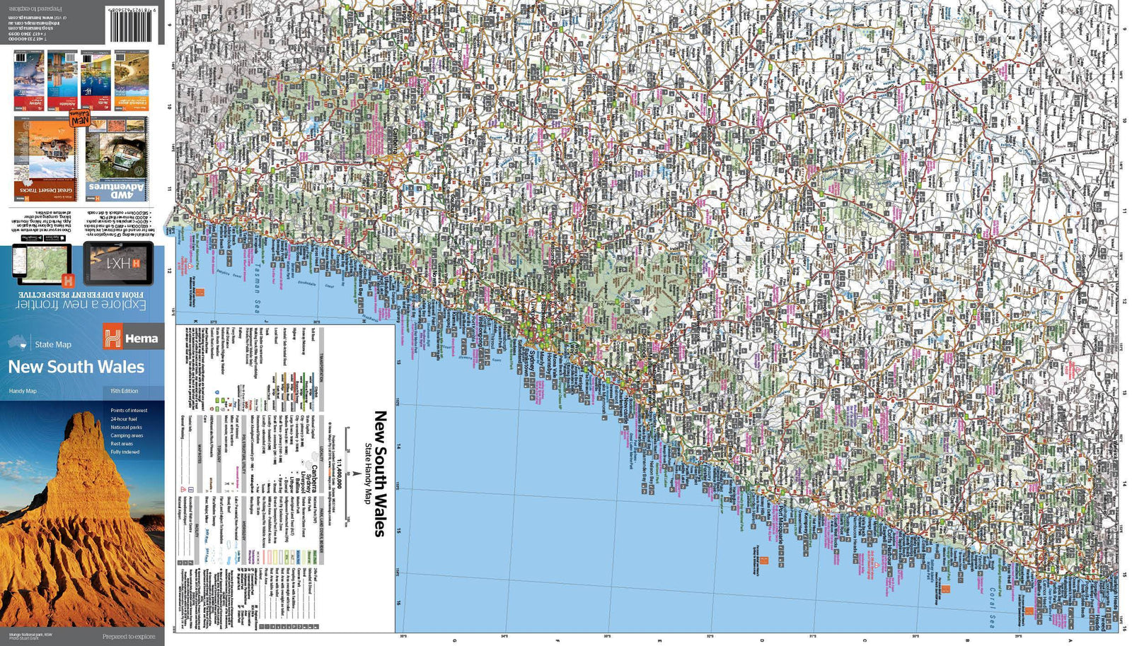
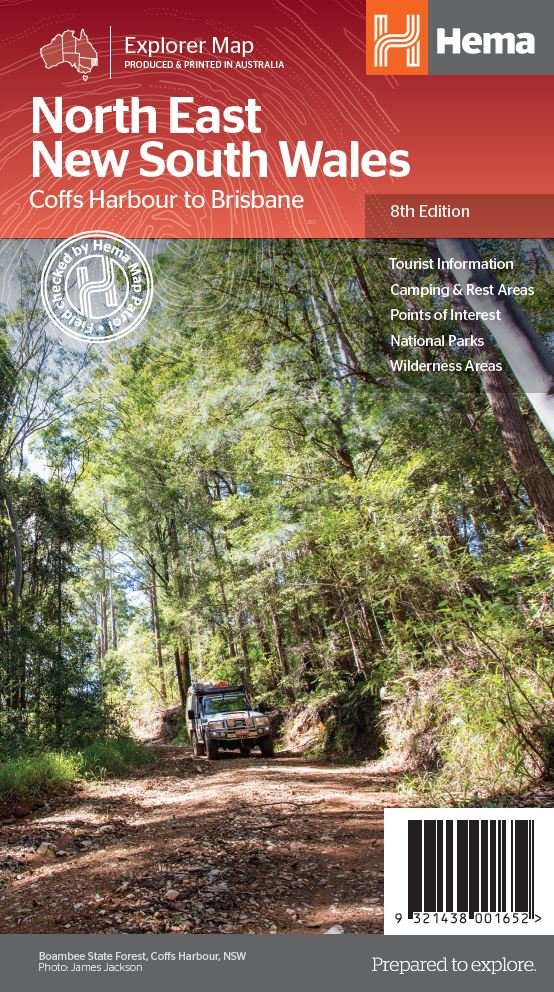
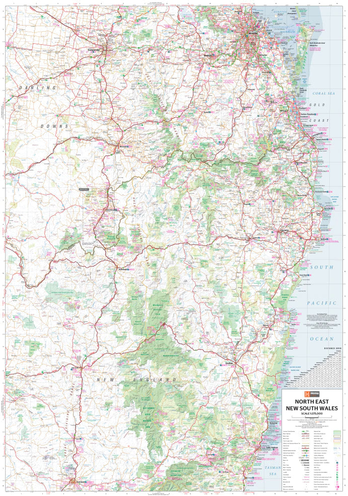
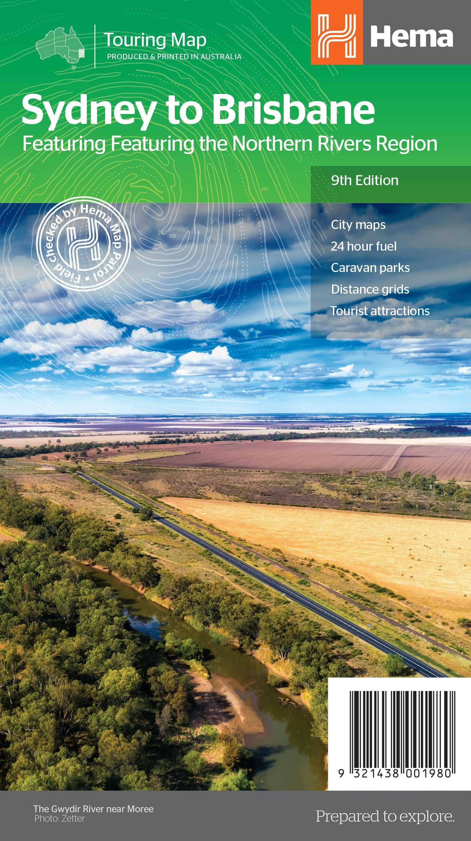
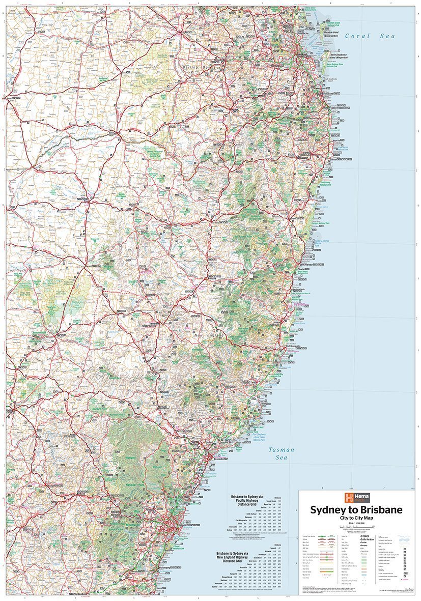
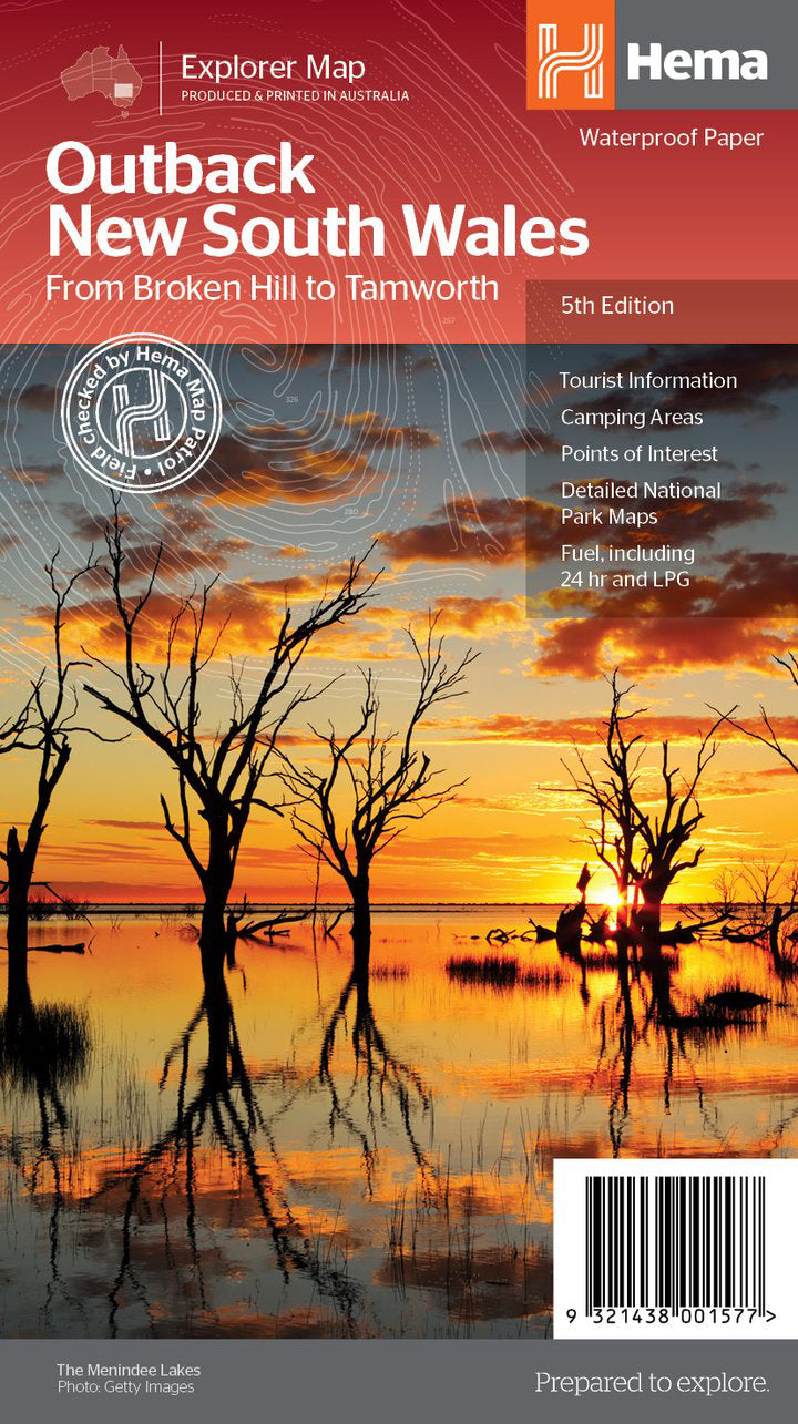
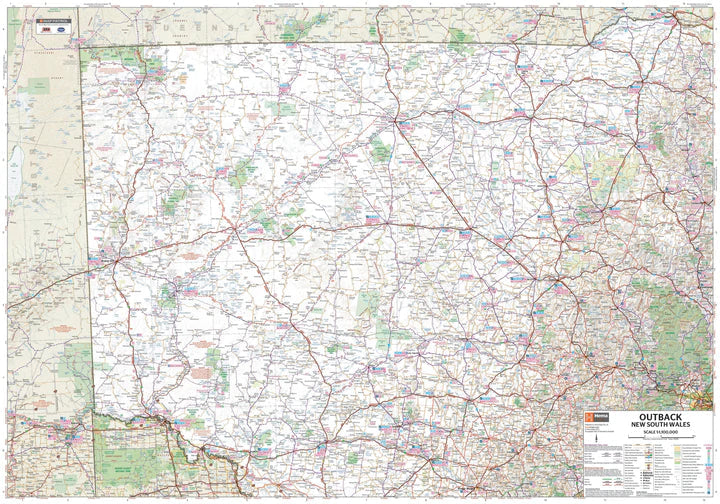
Road Map - New South Wales, South East (Australia) | Hema Maps
- Shipping within 24 working hours from our warehouse in France
- Shipping method and fees are shown at checkout
- Free returns (*)
- Real-time stock levels
- In stock, ready to ship
Over 19,500 maps 🗺️ and travel guides, hiking maps, posters, globes, and décor items in stock!
Rated Excellent ⭐️ on Trustpilot — 9,000+ reviews from explorers and map lovers worldwide.
Explore the world, one map at a time 🗺️
A regional map of southeastern New South Wales, stretching from Wollongong to the Victorian border and west to Gundagai and past Jindabyne.
Regions covered on the map include: Illawarra, Jervis Bay & Shoalhaven, Batemans Bay, Canberra & surrounds, Merimbula & Sapphire Coast, Southern Highlands, Goulburn Region, and the Snowy Mountains. The reverse side contains detailed information on many regions, including tourist, historical, and background information.
Distances are shown on the map, along with tourist information (national parks, accommodation, distance charts, etc.). The reverse side contains extensive information on New South Wales tourist attractions.
ISBN/EAN : 9781925625967
Publication date: 2014
Scale: 1/385,000 (1cm=3.85km)
Printed sides: both sides
Folded dimensions: 25 x 14 x 0.3cm
Unfolded dimensions: 100x70cm
Language(s): English
Weight:
80 g
The exclusive newsletter for travel and discovery enthusiasts!