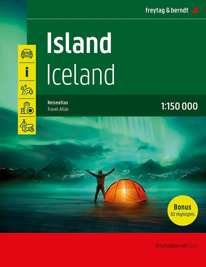
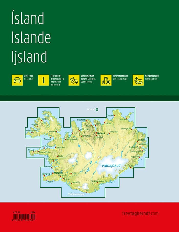
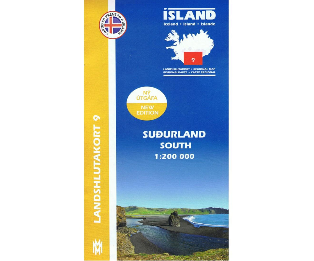
This map includes the latest information on Iceland's road networks. The landscape is clearly visible on these maps. For example, glaciers, sandy areas, closed vegetation, and rivers are all clearly marked on the map. The back of the map contains explanations and illustrations of the region's most beautiful natural sites, as well as drawings of common birds and plants.
Attractions:
Hekla, Porsmork, Eyjyfjallajokull, Eldgja, Landmannalaugar, Dyrholaey, Veidivotn, Fjadrargljufur, Hof, Skaftafell, Skeidararsandur, Jokulsarlon, Oraefajokull, Oraewfi, Nupsstandarskogar, Lakagigar, Dverghamrar, Hjorleifshofdi
.
The legend includes: farm, abandoned farm, ruin, main asphalt road, asphalt road, main gravel road, gravel road, slopes, tunnels, ferry, church, school, summer house, emergency cabin, cabin, hut, hydroelectric power station, geothermal power station, 100m contour lines on glaciers, campsite, swimming pool, golf course, airport, lighthouse, power line, heights in meters, ford, places, closed vegetation, sparse vegetation, lava, sand surface, river, stream, lake, pond, dam, temporary lake, beach line, sea, glaciers.
Languages: Icelandic, English, German, French.
.