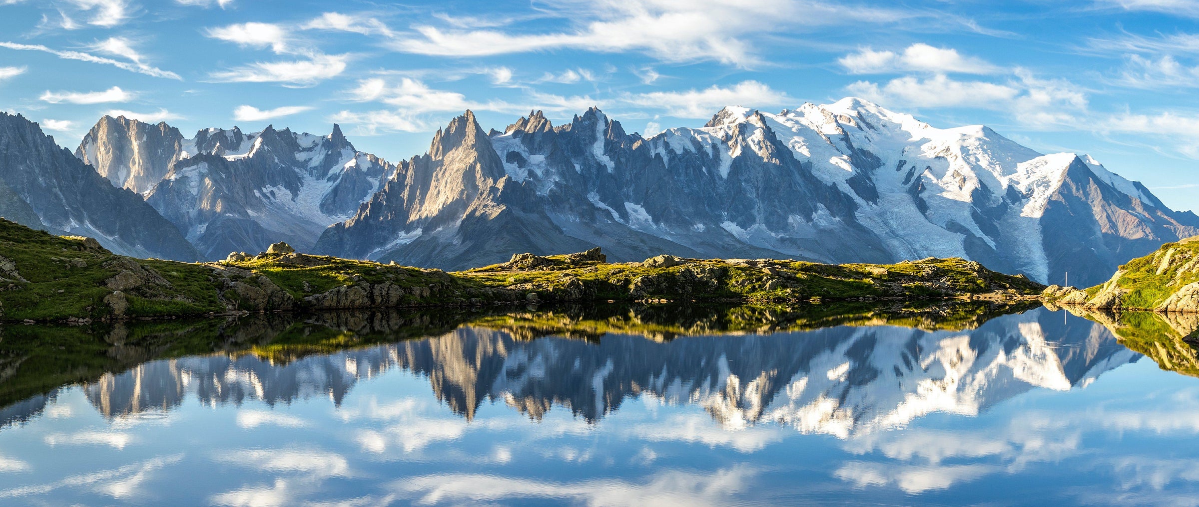
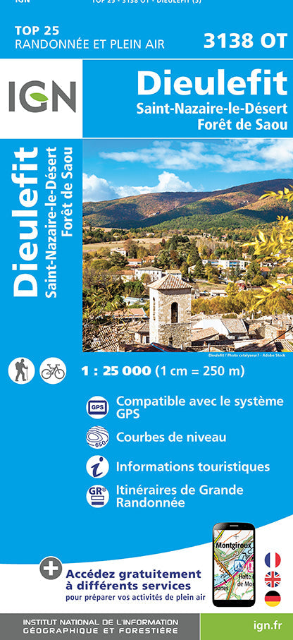
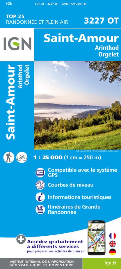
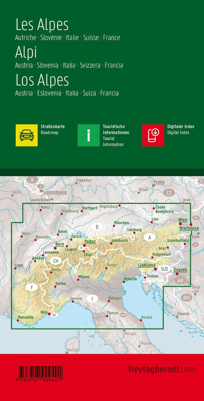
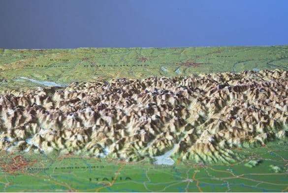
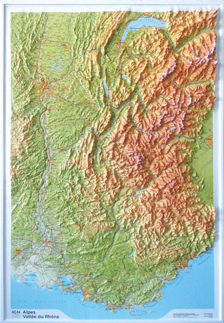
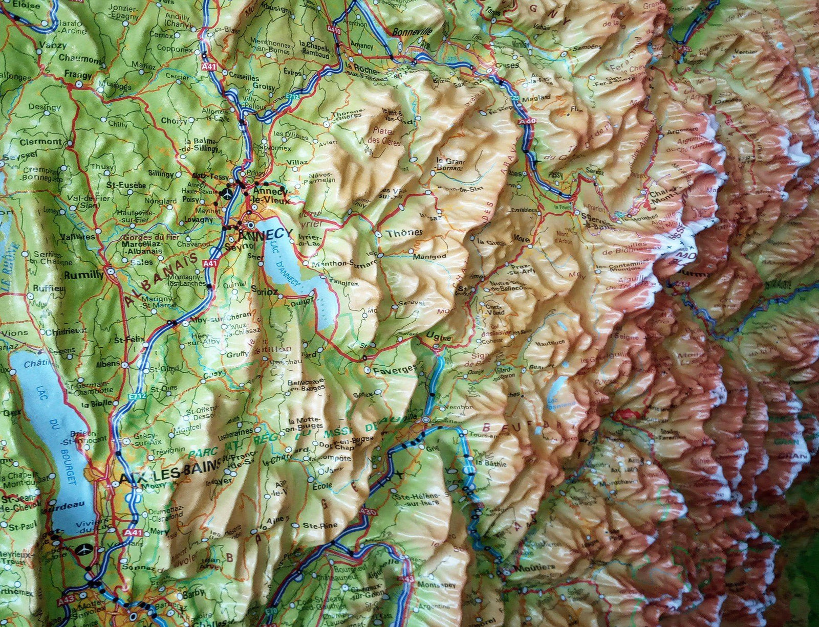
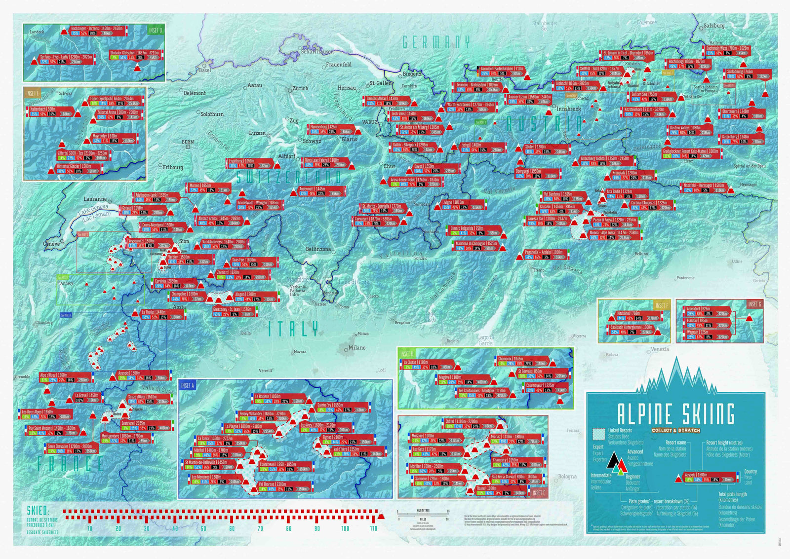
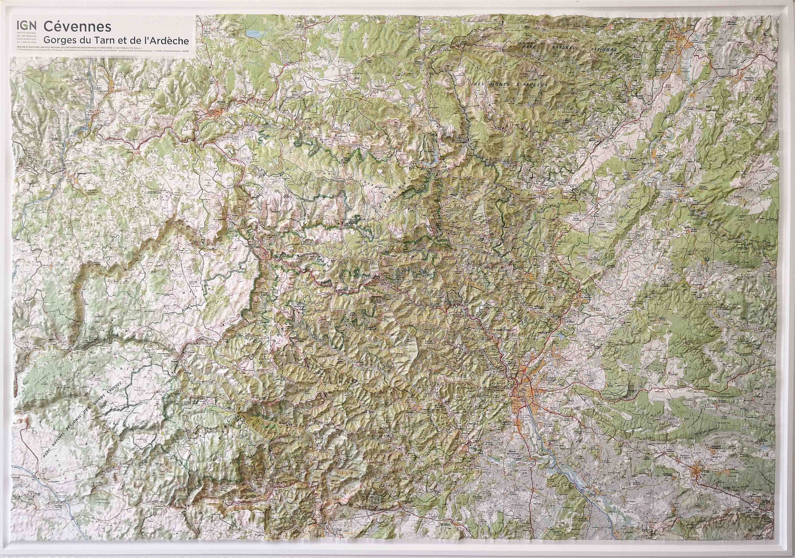
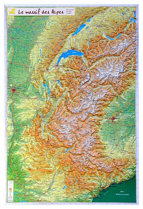
To lead you on your hikes in the Alps, a wide choice of maps and topoguides is available from different publishers: IGN, Rando Editions, Tabacco, National Geographic, Freeride Map, Alpenverein, Kümmerly & Frey, Freytag & Berndt etc.
43 products
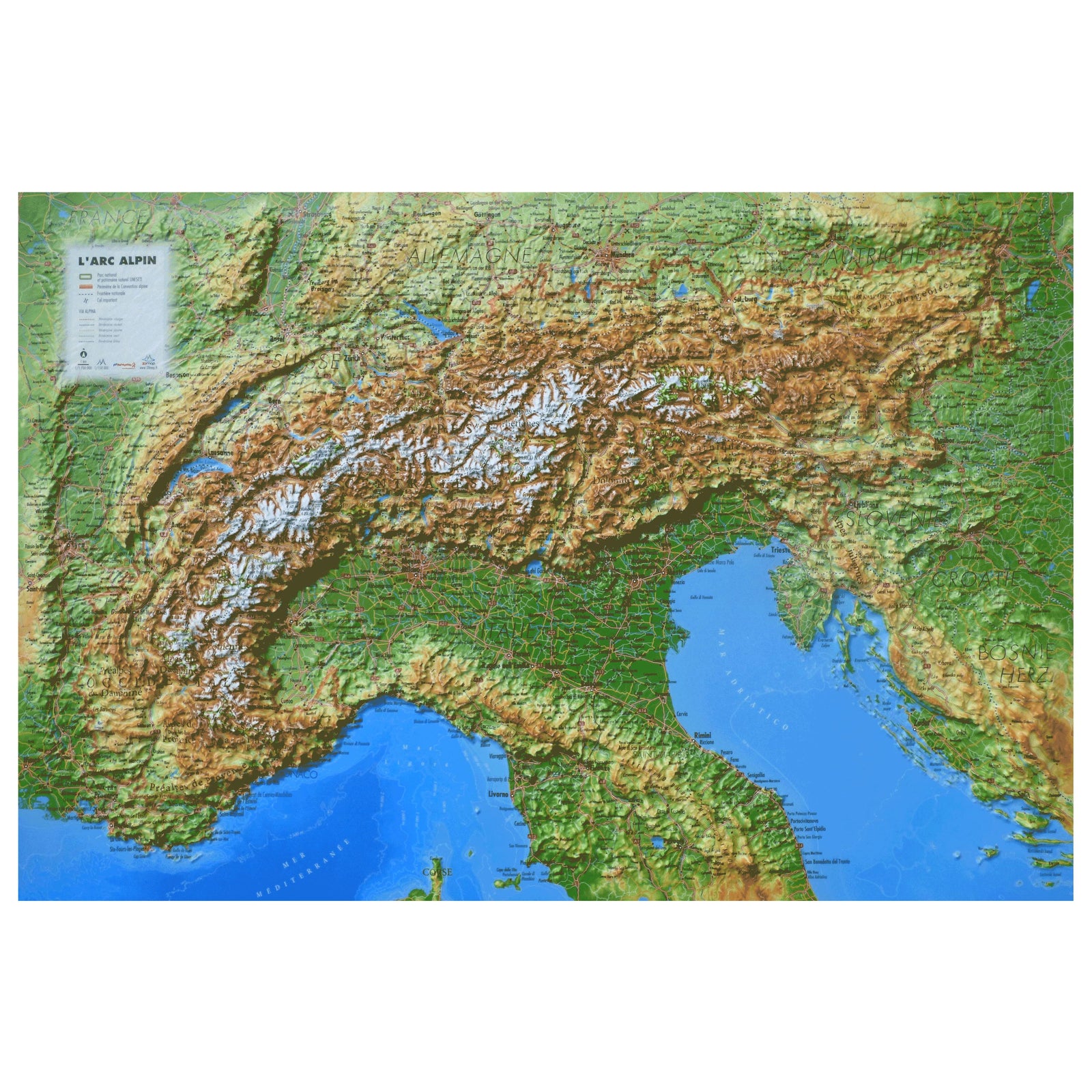
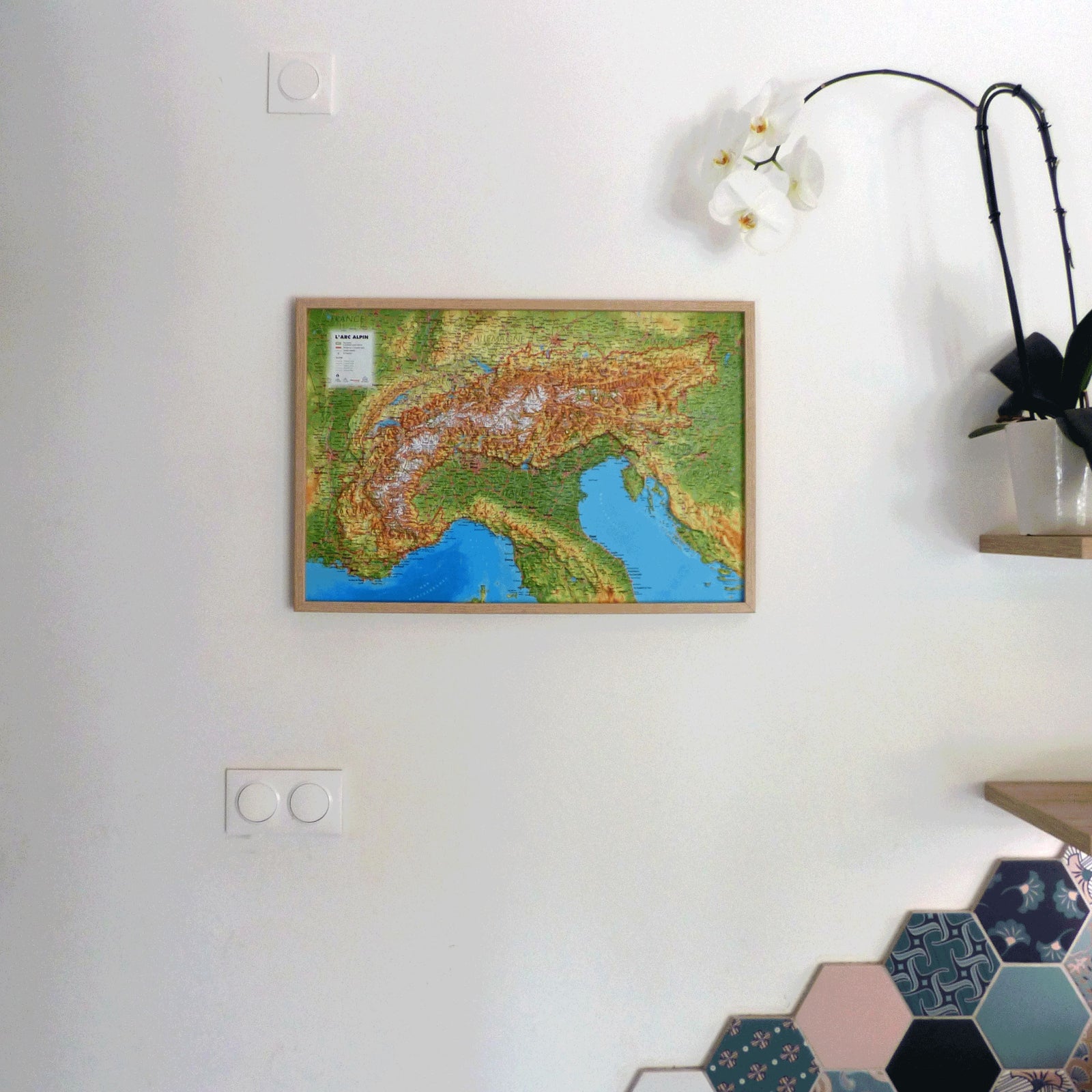
To help you on your hikes in the Alps, Cartovia offers a wide selection of maps and topoguides from numerous publishers: IGN, Rando Editions, Tabacco, National Geographic, Freeride Map, Alpenverein, Kümmerly & Frey, Freytag & Berndt, etc.
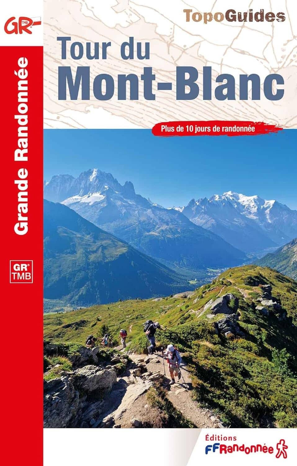
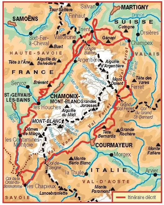
Hiking guide - Mont Blanc Tour | FFR (French)
FFR - Fédération Française de Randonnée
£1700
2 reviews
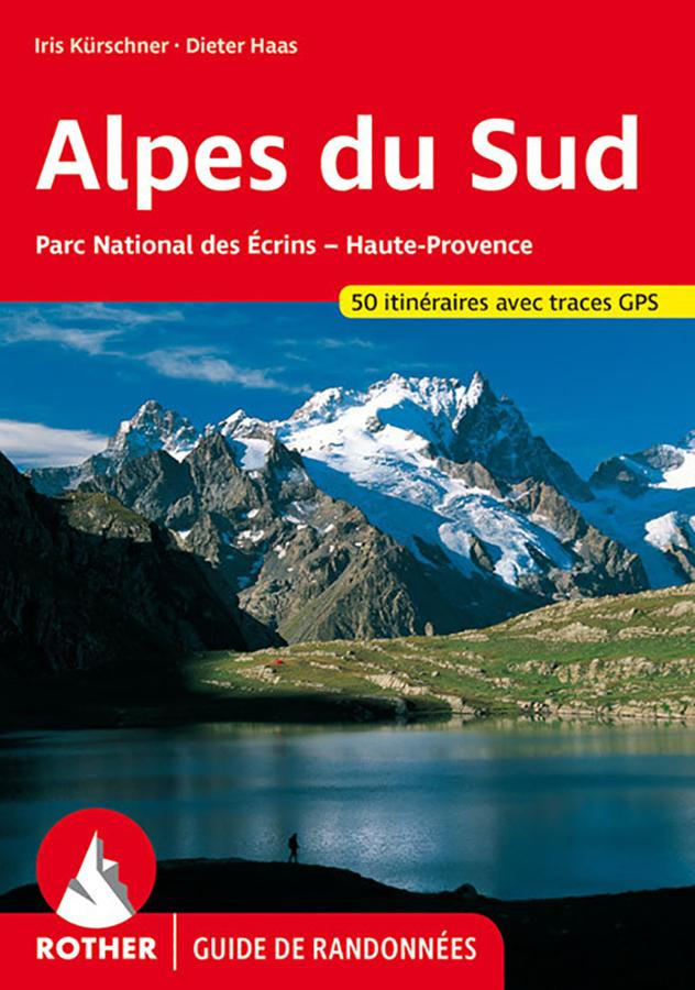
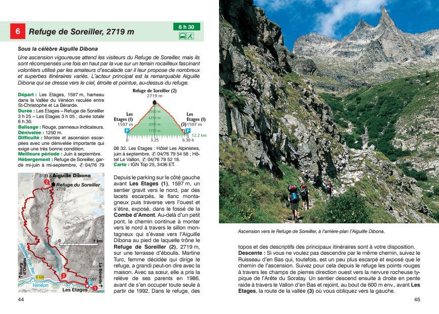
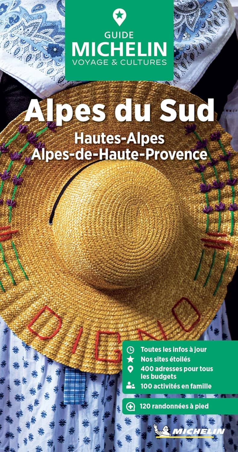
Hiking guide - South Alps: Ecrins National Park, Haute Provence | Rother (French)
Rother
£1600
5 reviews
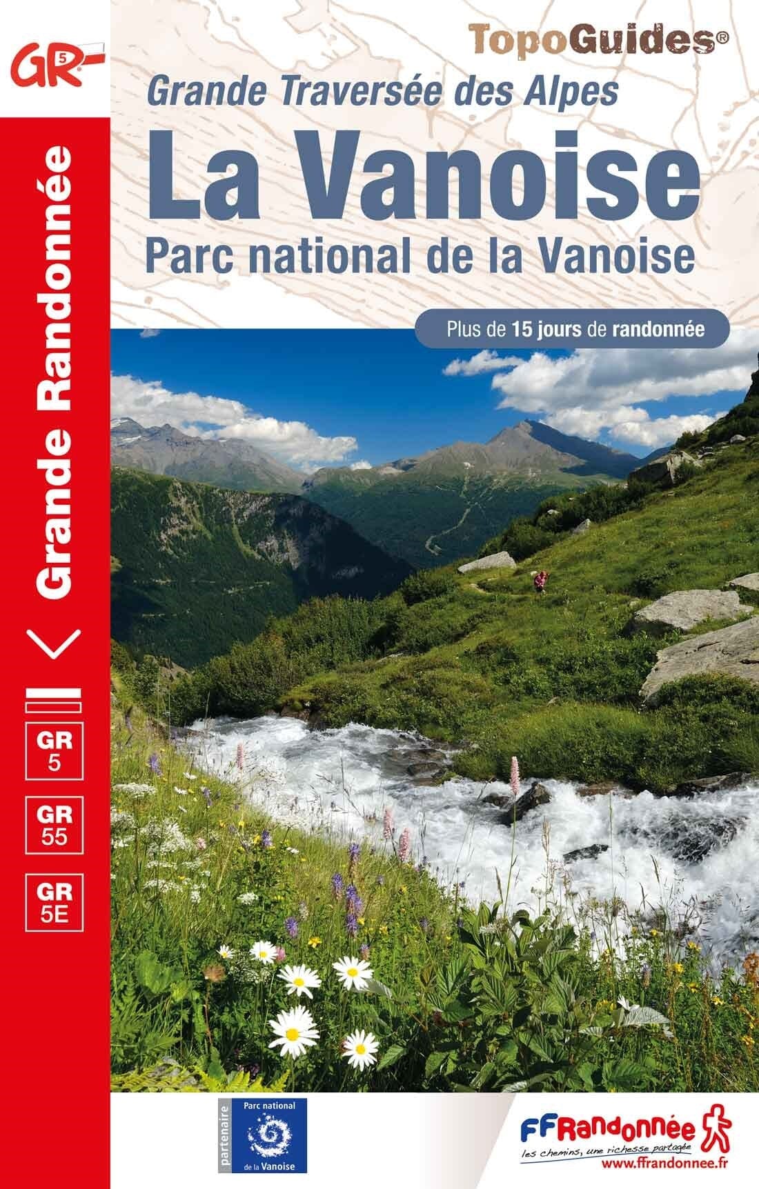
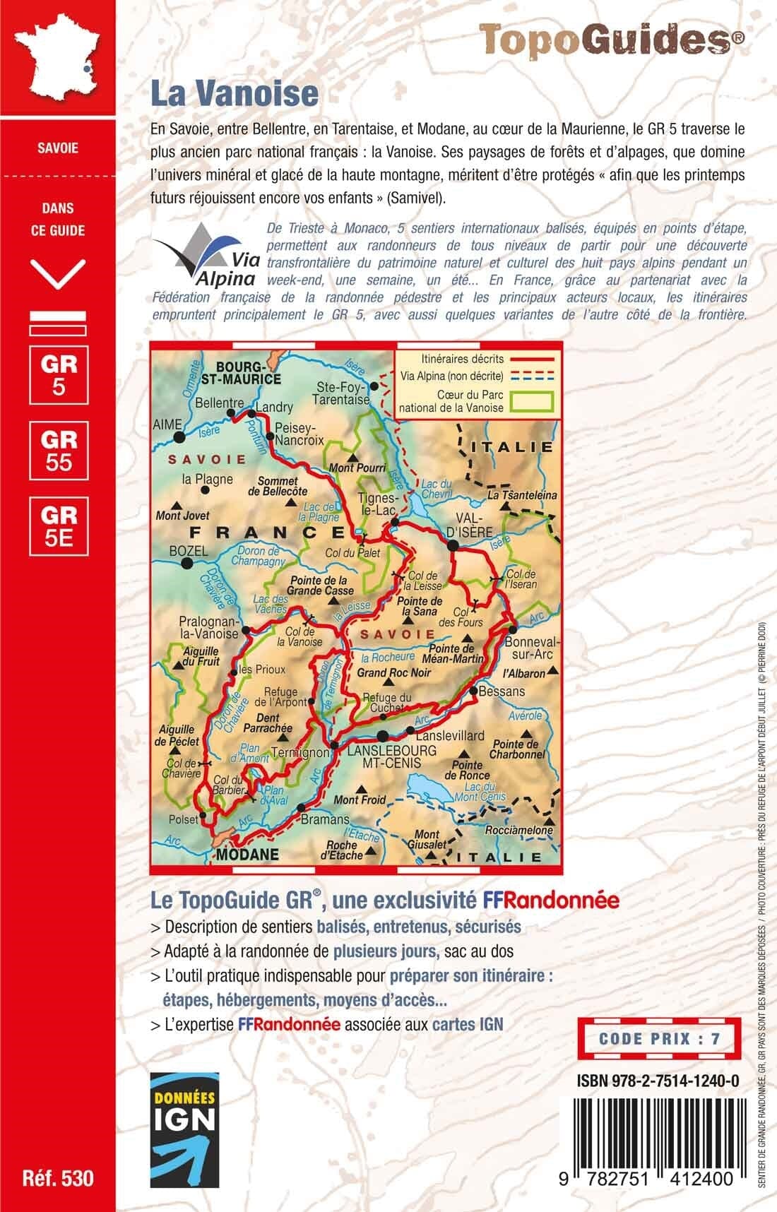
Hiking guide - La Vanoise, GR5 | FFR (French)
FFR - Fédération Française de Randonnée
£1700
2 reviews
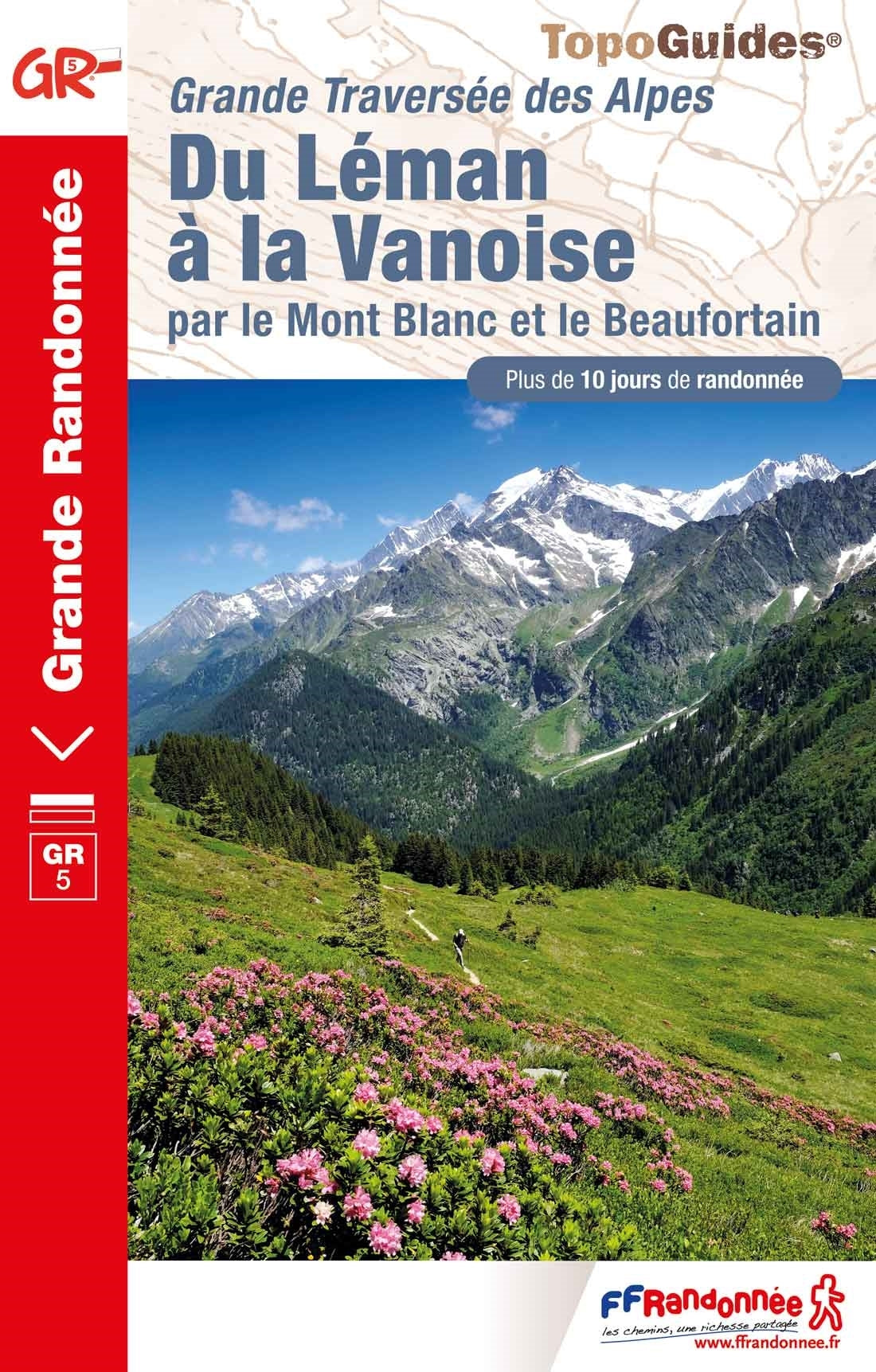
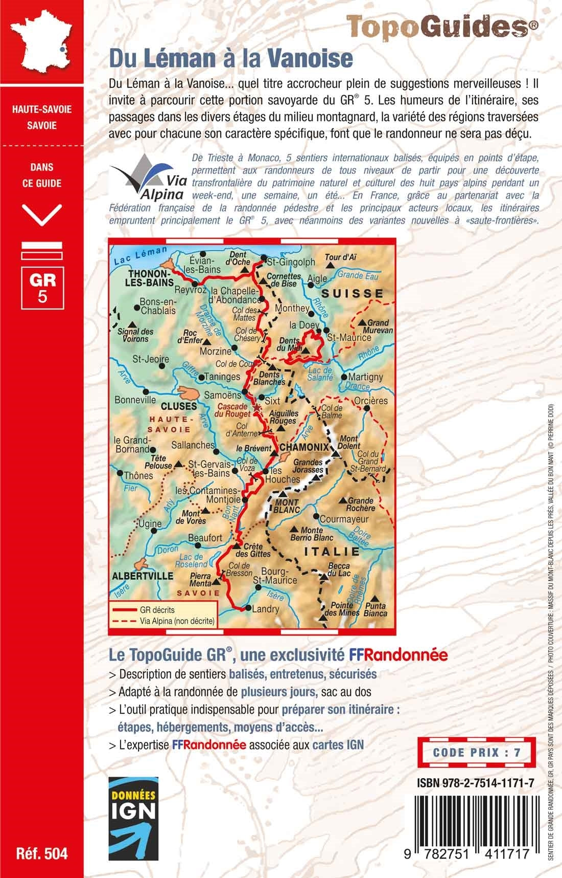
Hiking guide - Lake Geneva with Vanoise by Mont Blanc and Beaufortain - GR5 | FFR (French)
FFR - Fédération Française de Randonnée
£1700
2 reviews
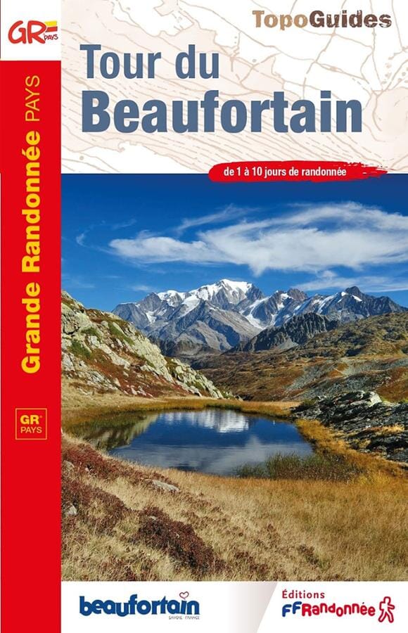
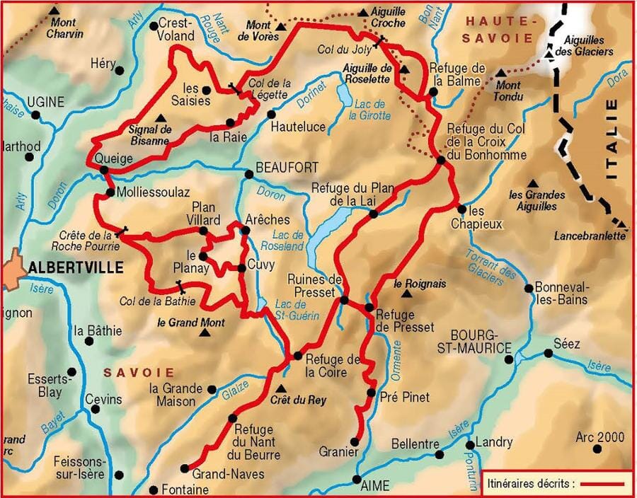
Hiking guide - Beaufortain Tower | FFR (French)
FFR - Fédération Française de Randonnée
£1500
No reviews
To lead you on your hikes in the Alps, a wide choice of maps and topoguides is available from different publishers: IGN, Rando Editions, Tabacco, National Geographic, Freeride Map, Alpenverein, Kümmerly & Frey, Freytag & Berndt etc.
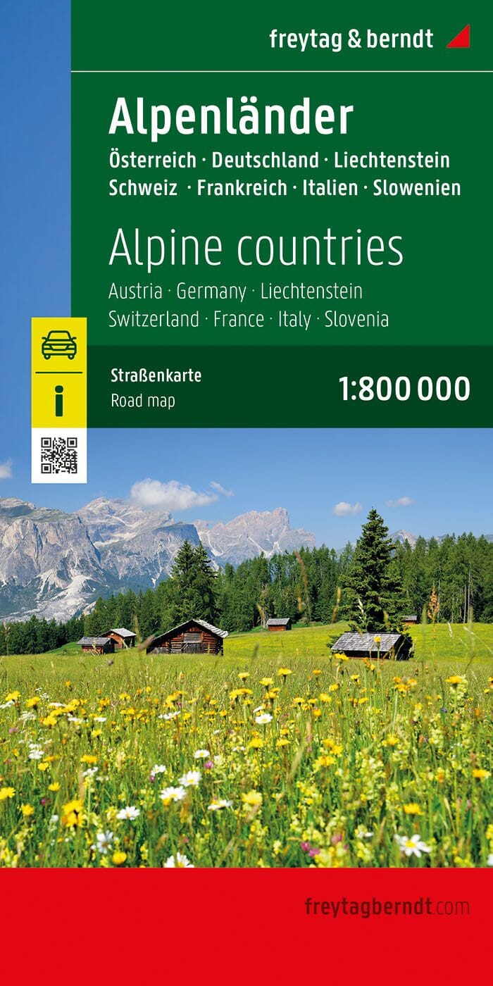
Road map - Alps | National Geographic
National Geographic
£1500
4 reviews
Road map - Alps | Reise Know How
Reise Know-How
£1100
6 reviews
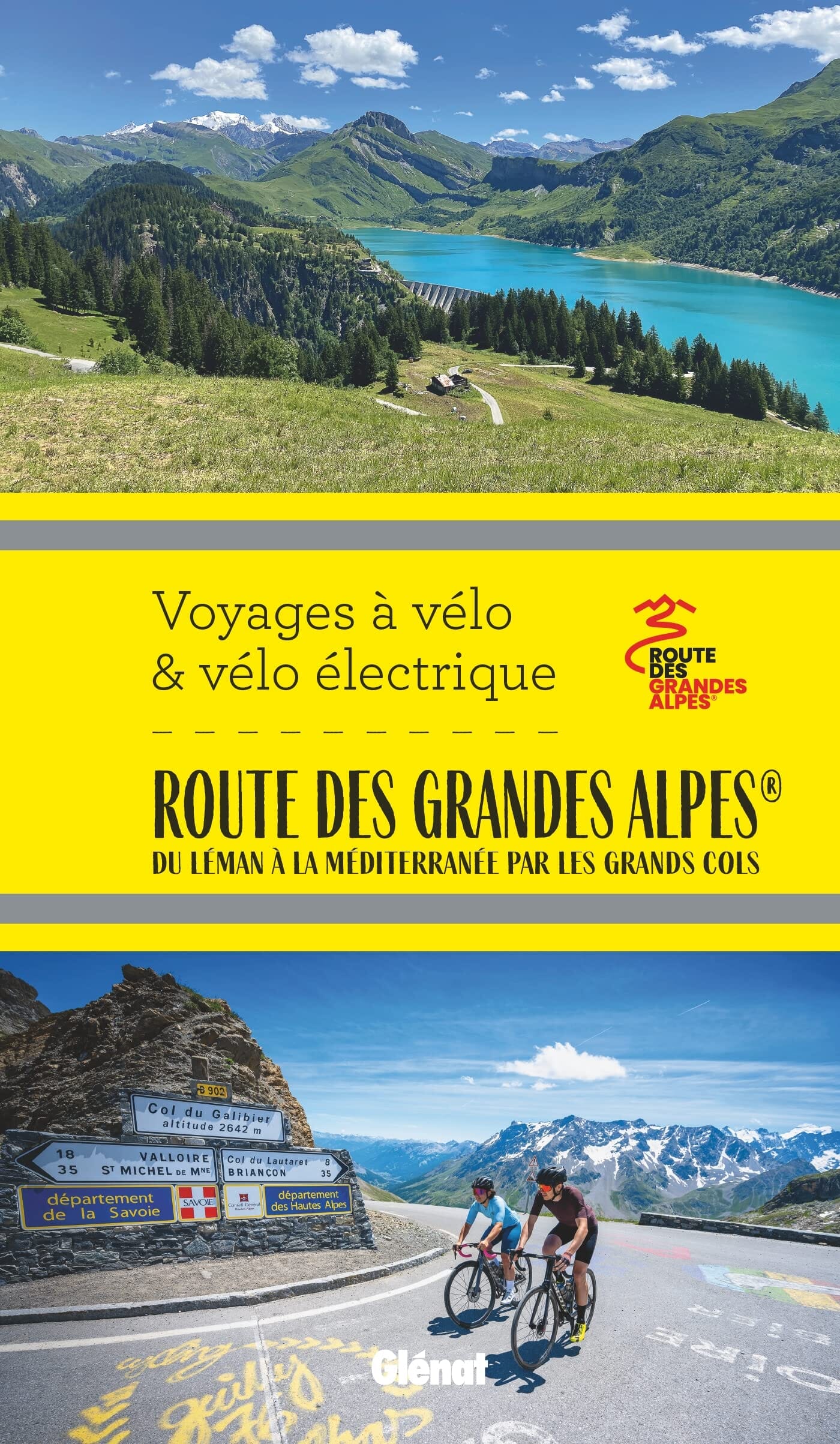
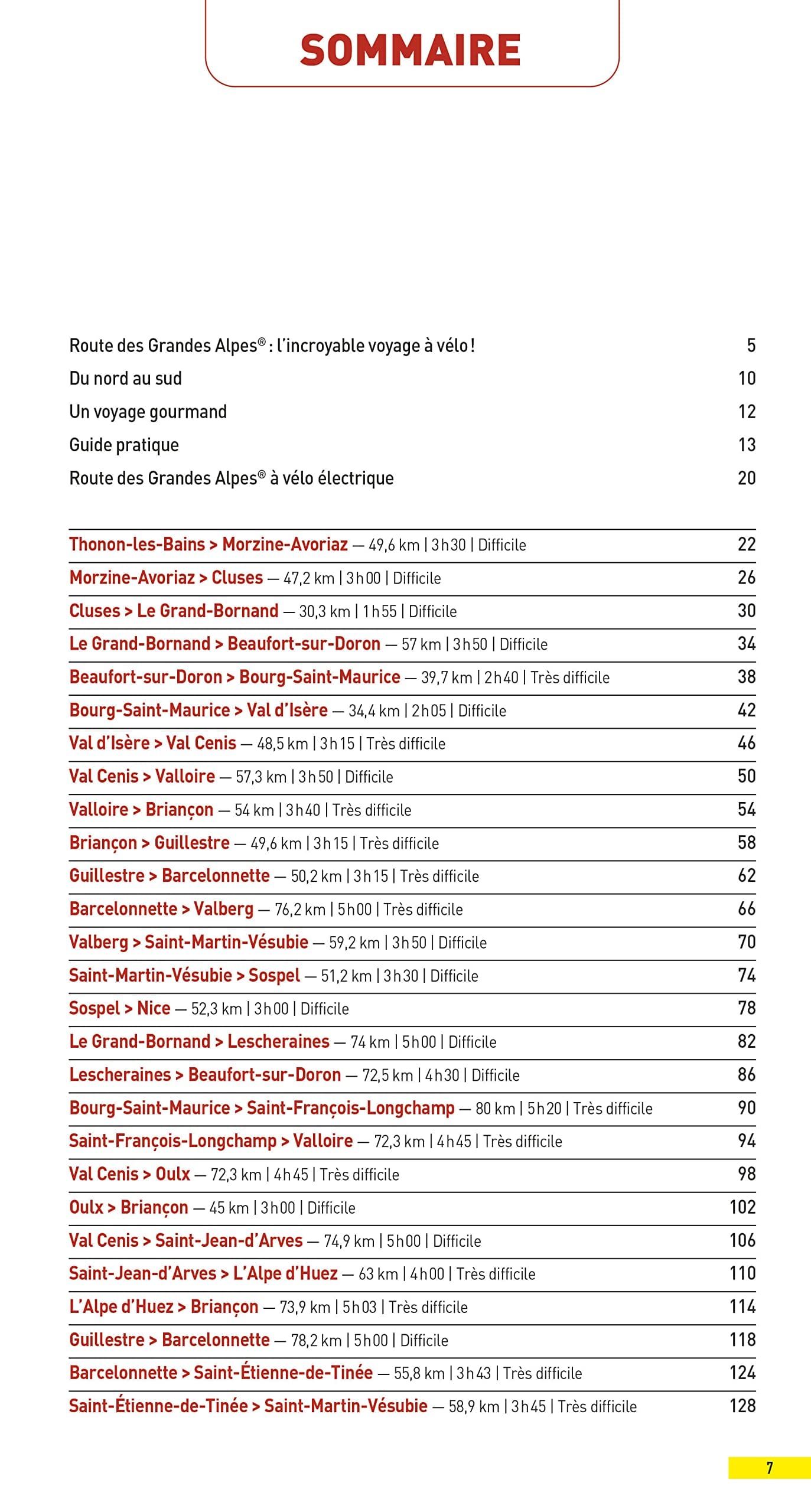
The High Alpes Bicycle and Electric Bicycle Road | Glénat (French)
Glénat