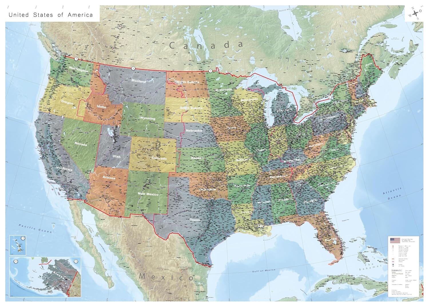
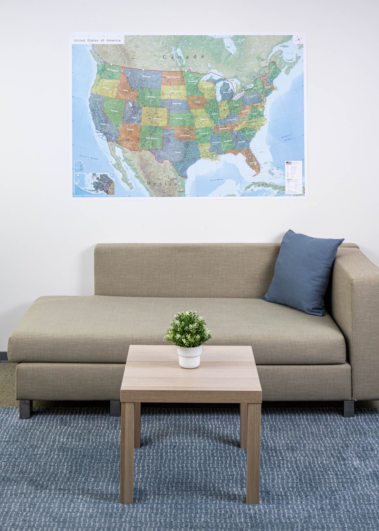
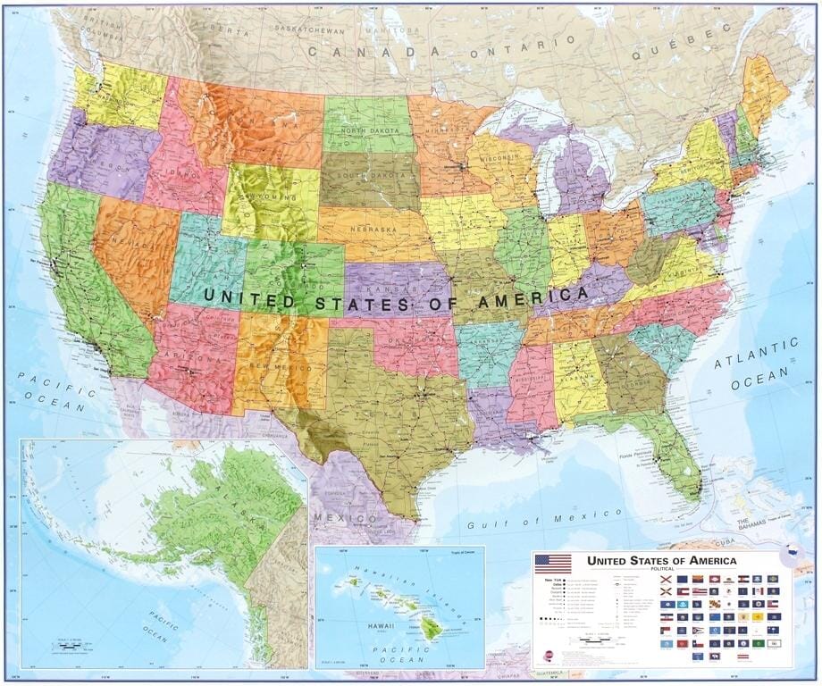
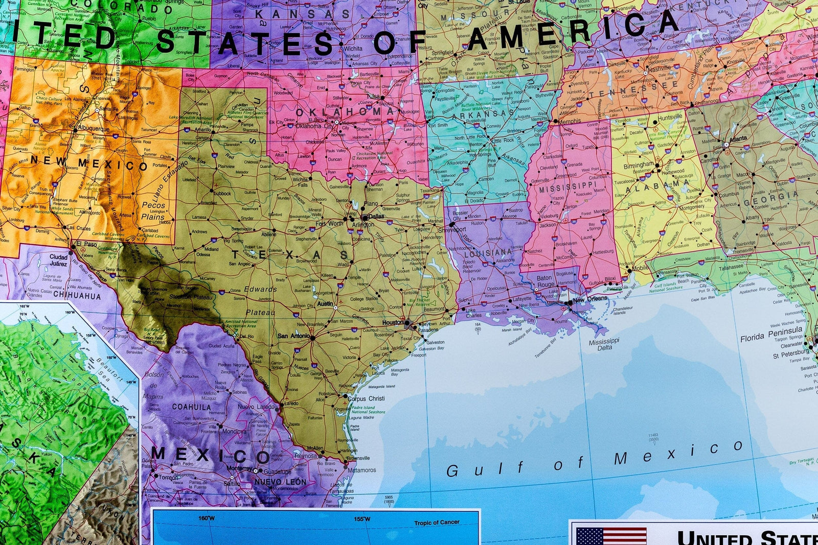
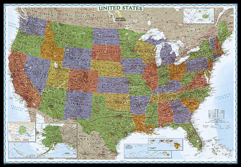
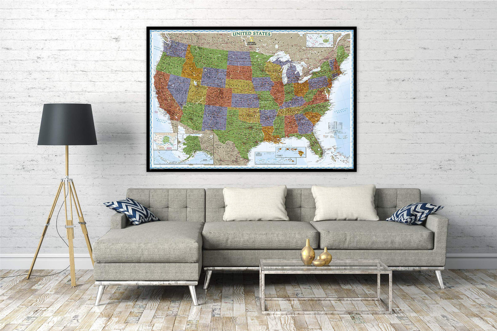
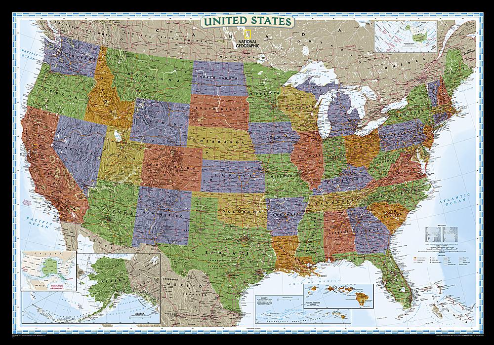
Laminated wall Map (English) - Political USA (140 x 100 cm) | GeoMetro
Regular price
£2300
Regular price
Sale price
£2300
Save £-23
/
- Expédition sous 7 à 10 jours ouvrés depuis notre entrepôt en France
- Frais de livraison calculés instantanément dans le panier
Related geographic locations and collections: USA Wall Maps, Wall Maps