France hiking maps - IGN TOP 25 & SÉRIE BLEUE
479 products
479 products
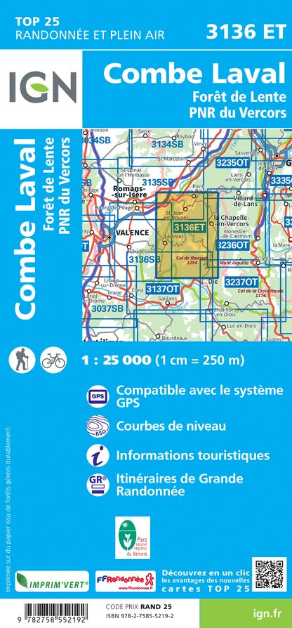
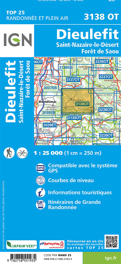
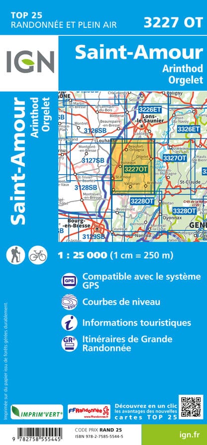
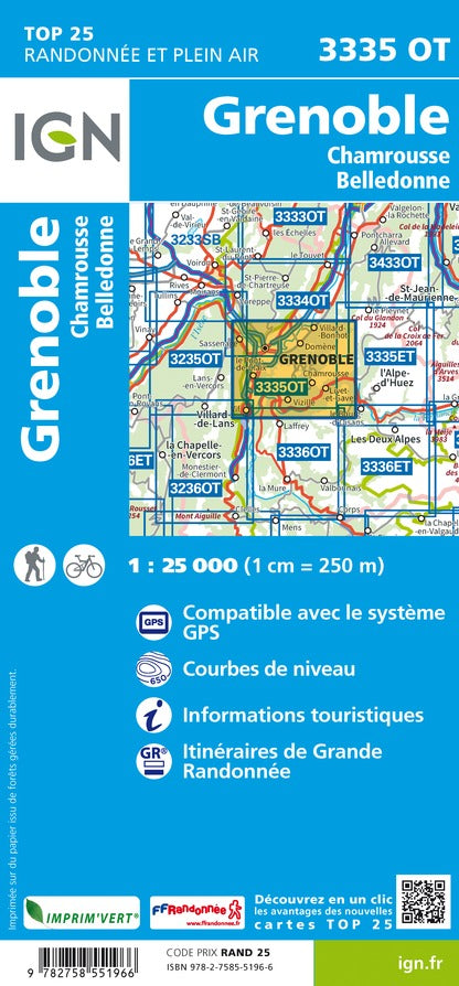
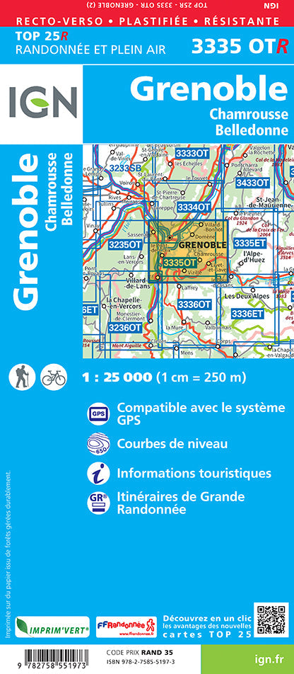
Local trails and long-distance GR routes are highlighted, and contour lines are indicated.
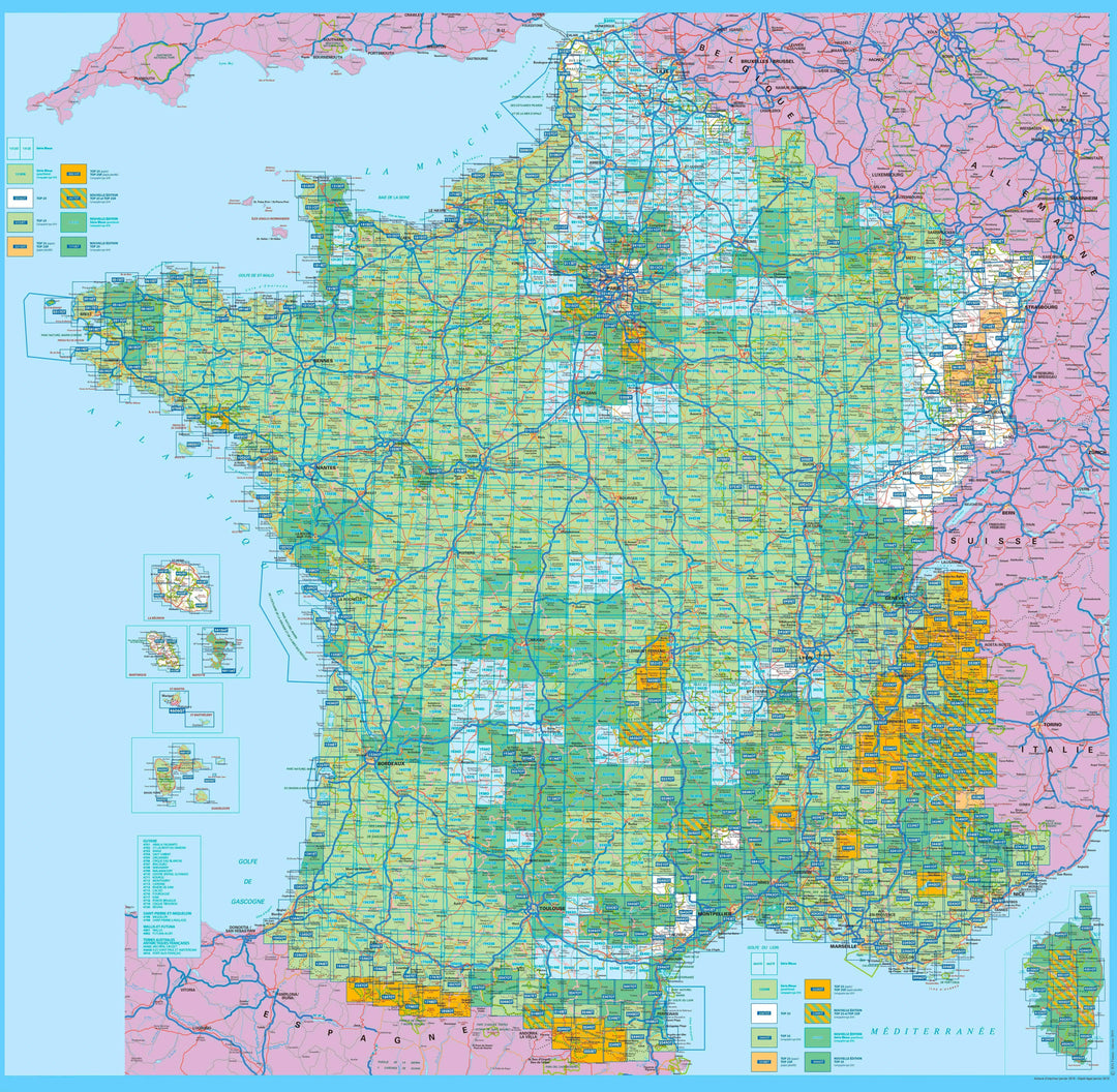
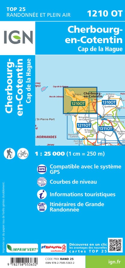
Navigate the map, click on a map's extent then on "More details" to open its record on Cartovia. You can also search for a municipality, an EAN code or a title directly in the tool.
Astuce : tournez votre téléphone en paysage pour élargir la carte
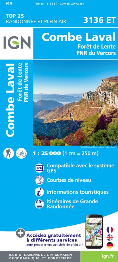
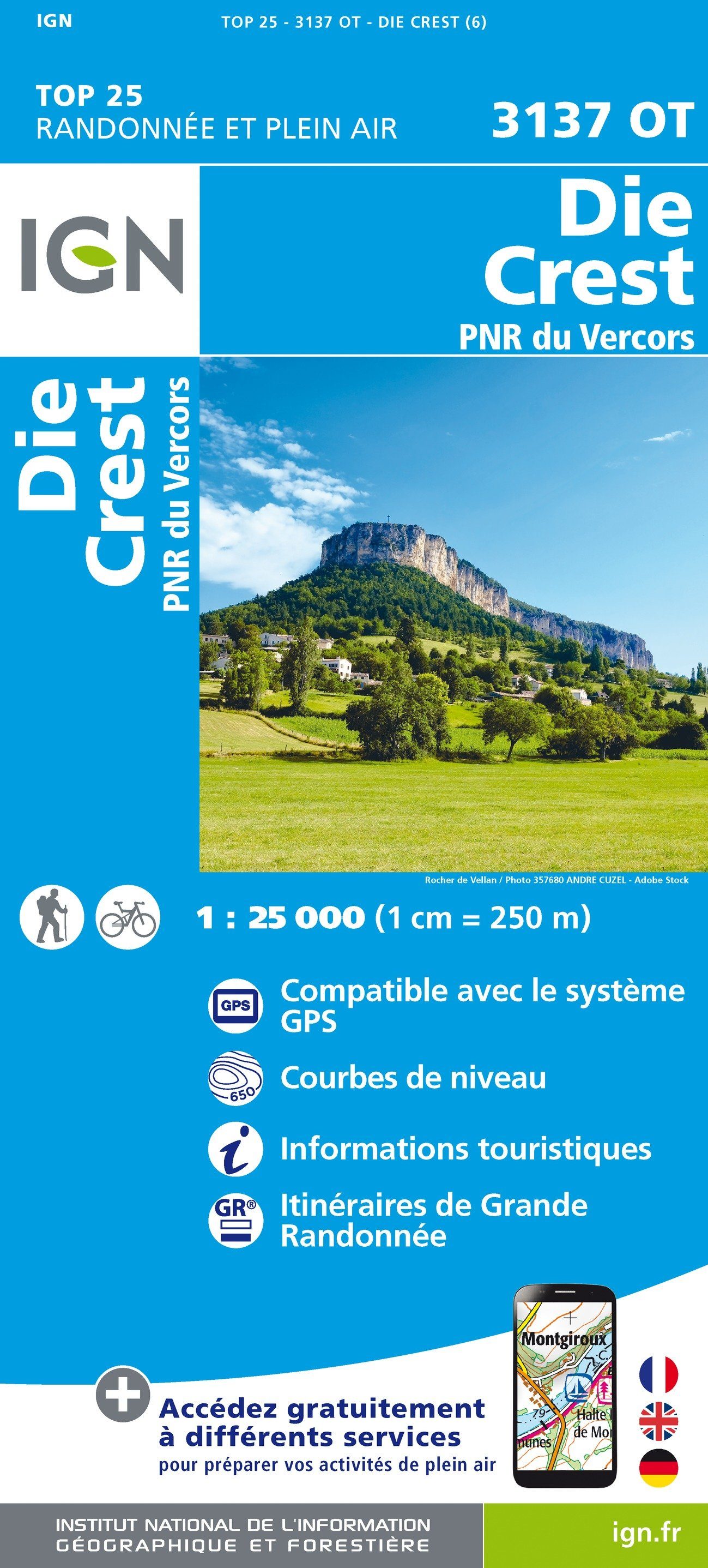
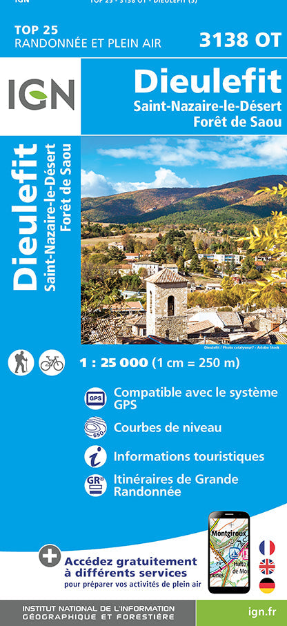
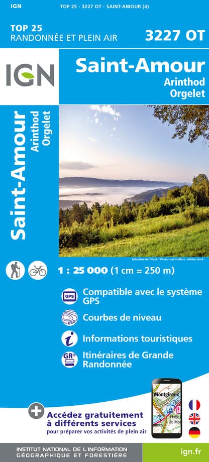
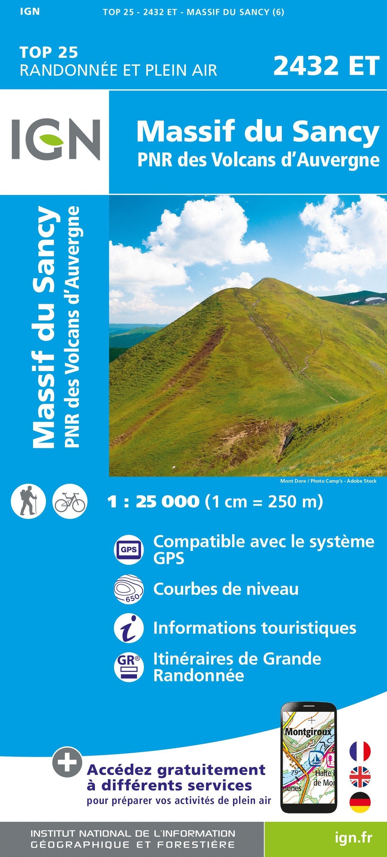
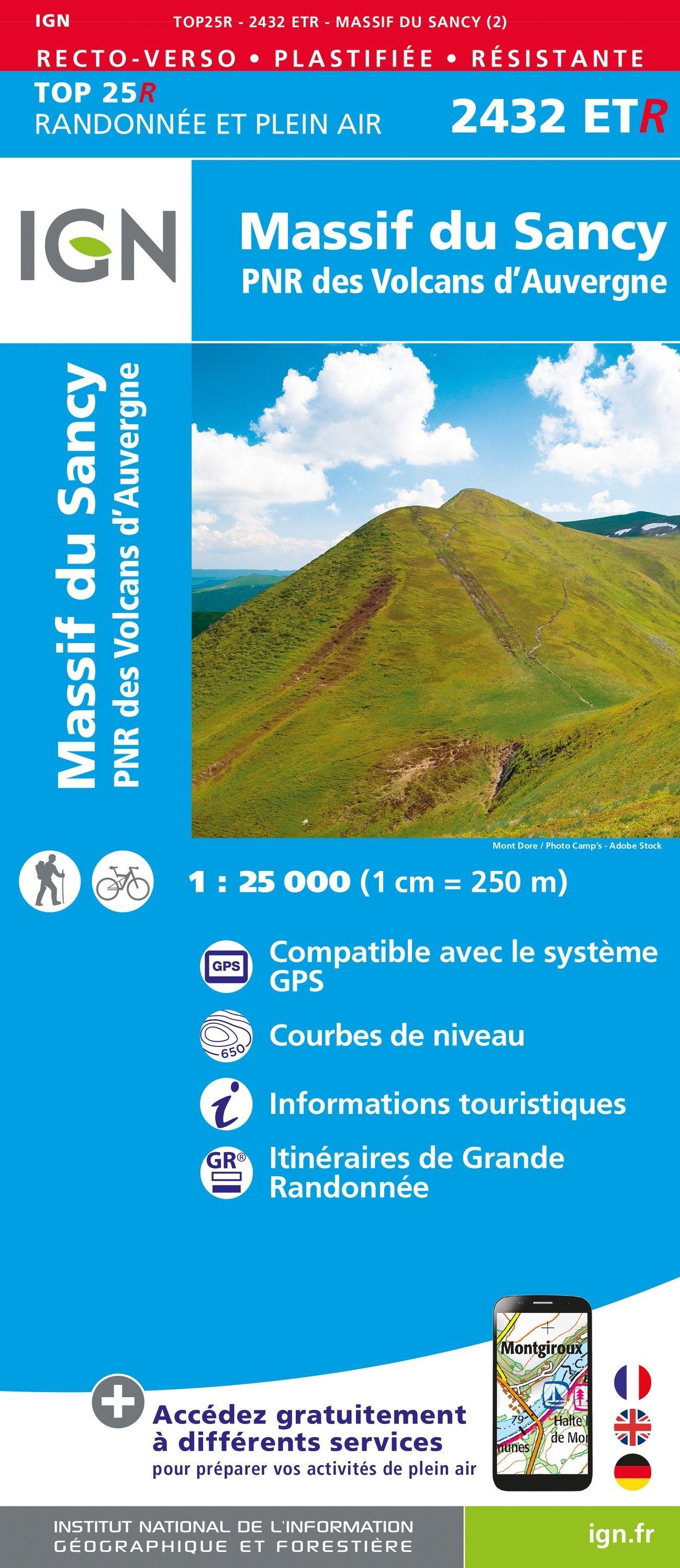
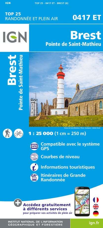
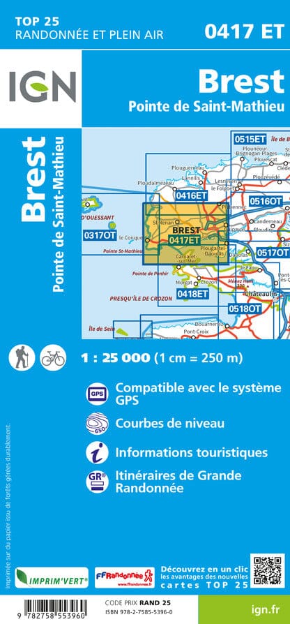
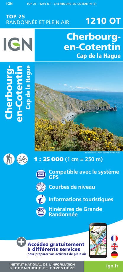
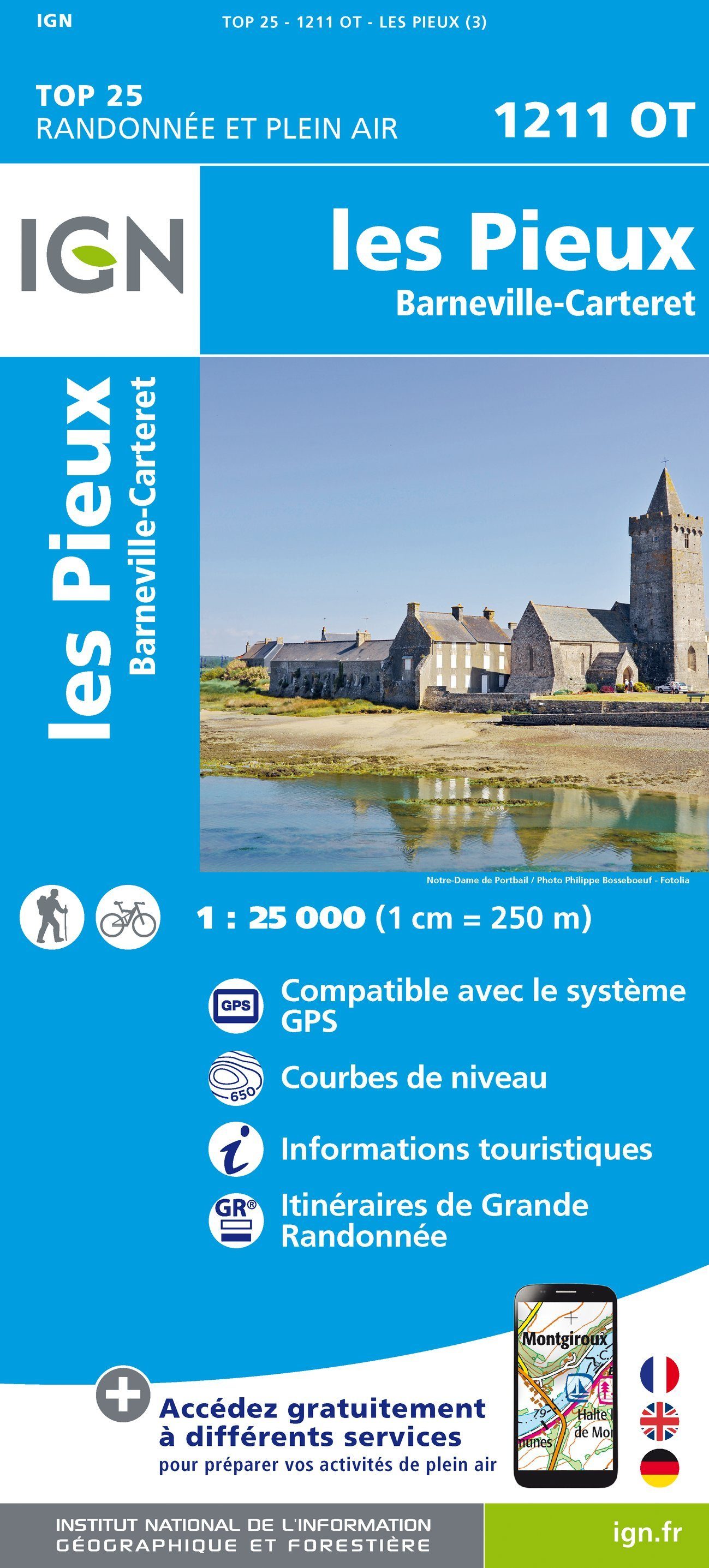
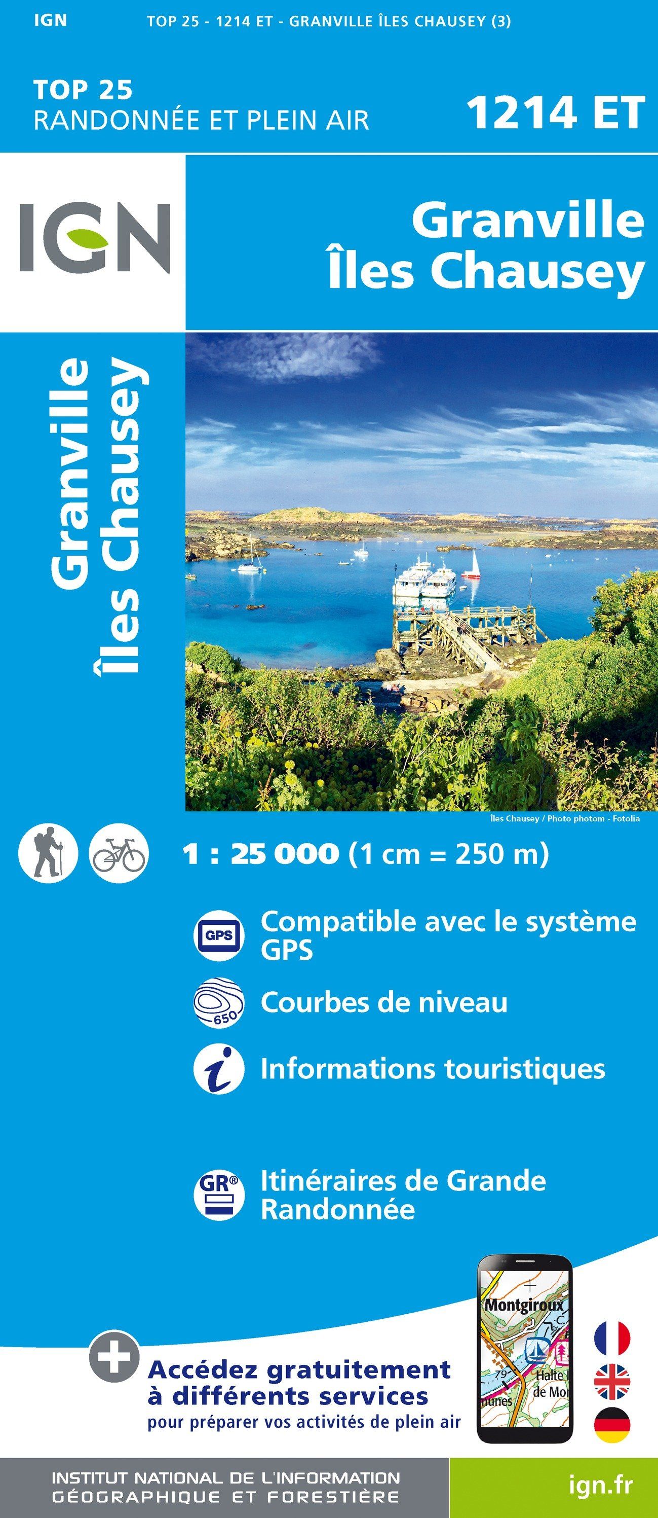
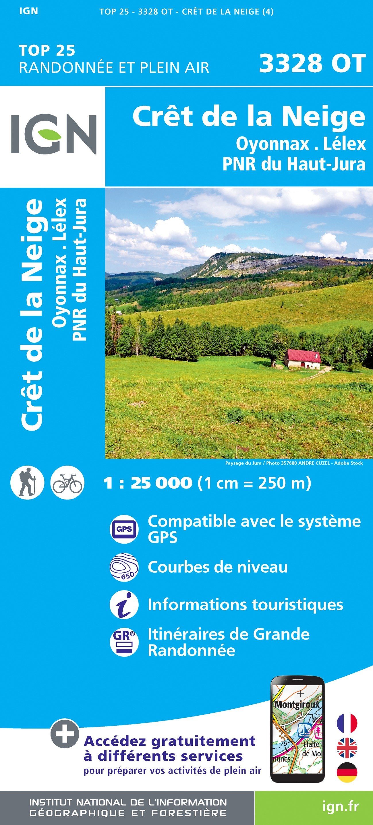
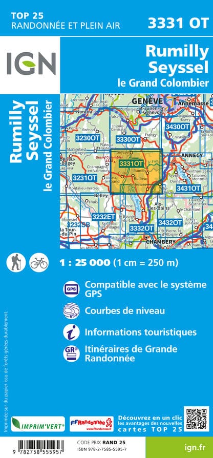
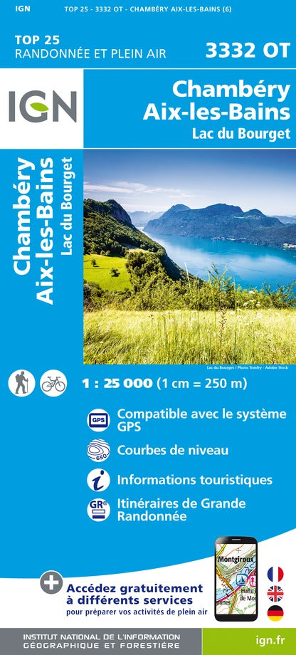
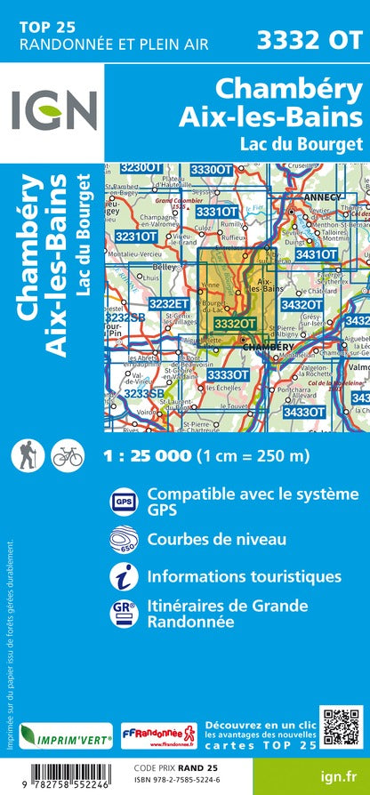
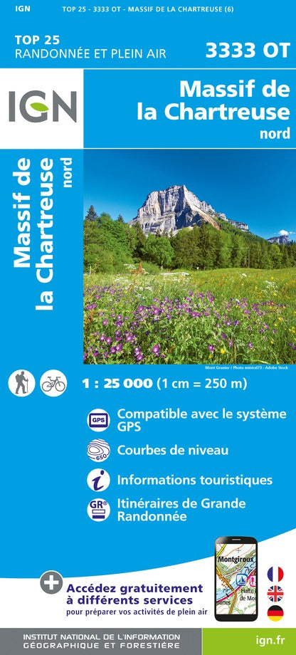
TOP 25 or Série Bleue?
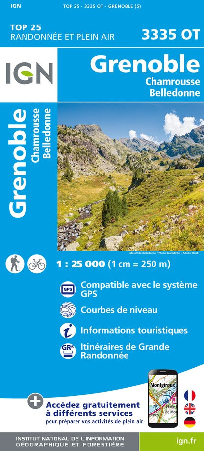
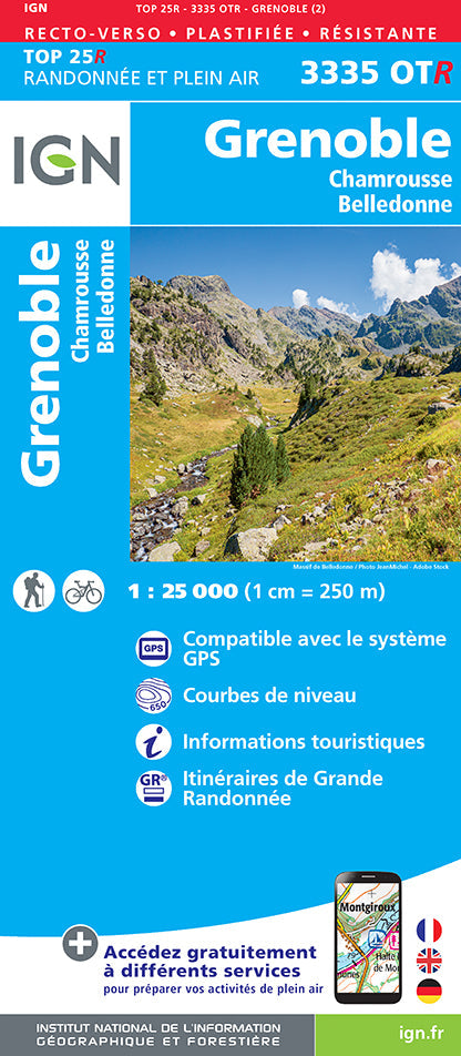
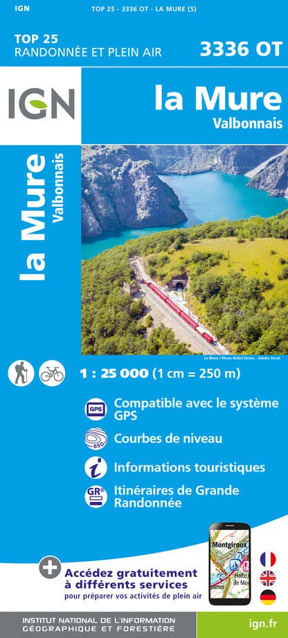
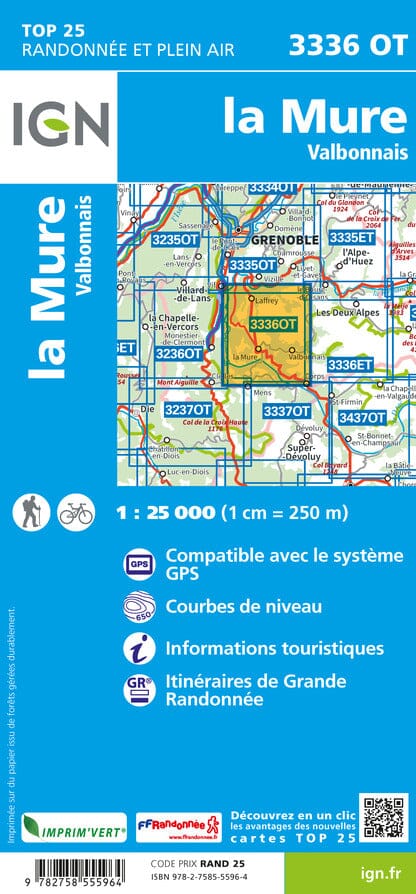
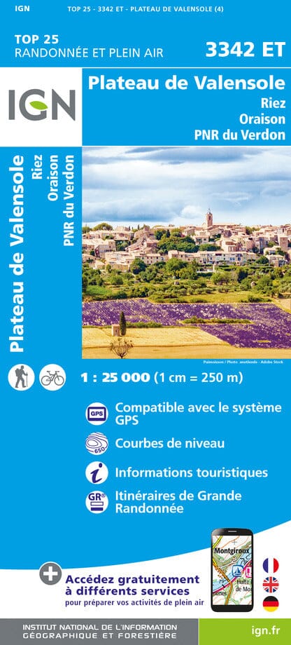
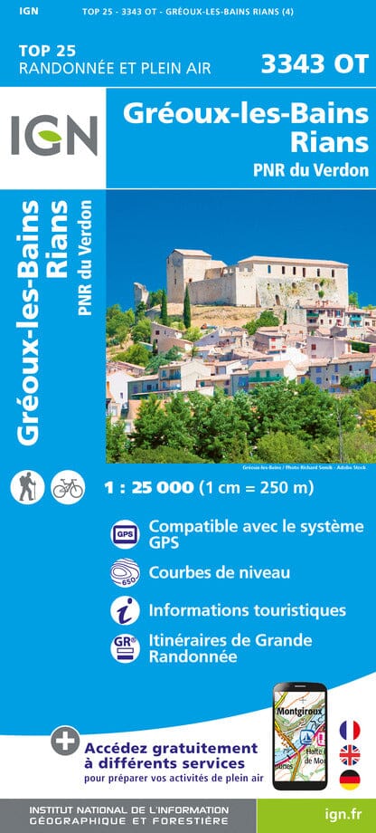
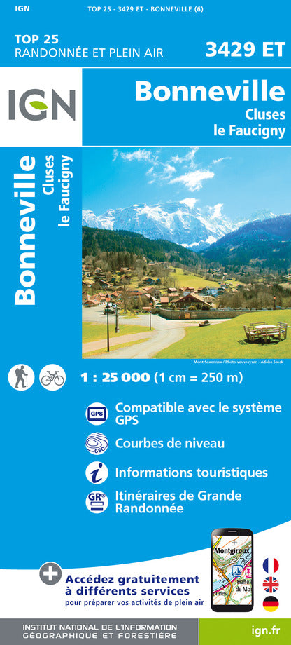
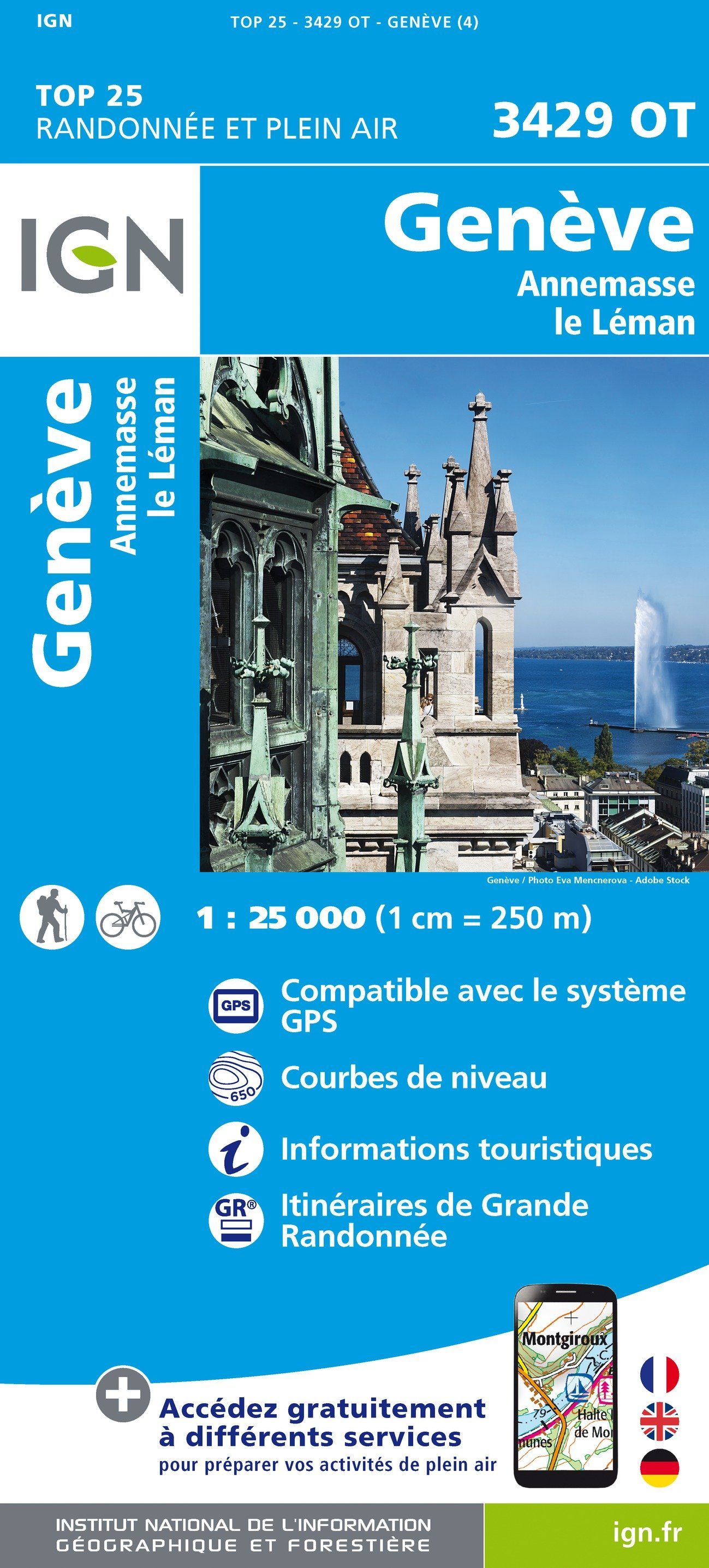
Both series are 1:25,000 (1 cm = 250 m). TOP 25 maps cover tourist areas — mountains, coastlines, natural parks — highlighting trails and GR routes; Série Bleue maps cover the rest of French territory.
Map not found?
Contact us: if a map doesn't appear or is out of stock, we can usually get it within a few days.
IGN - Alps - TOP 25 hiking maps
IGN - North-West of France & Normandy - TOP 25 hiking maps
IGN - Brittany - TOP 25 hiking maps
IGN - Occitanie - TOP 25 hiking maps
IGN - Corsica - TOP 25 hiking maps
IGN - Pyrenees - TOP 25 hiking maps
IGN - Côte d'Azur, Provence, Southern Alps - TOP 25 hiking maps
IGN - Paris region - TOP 25 hiking maps
IGN - Eastern France - TOP 25 hiking maps