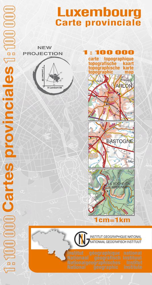
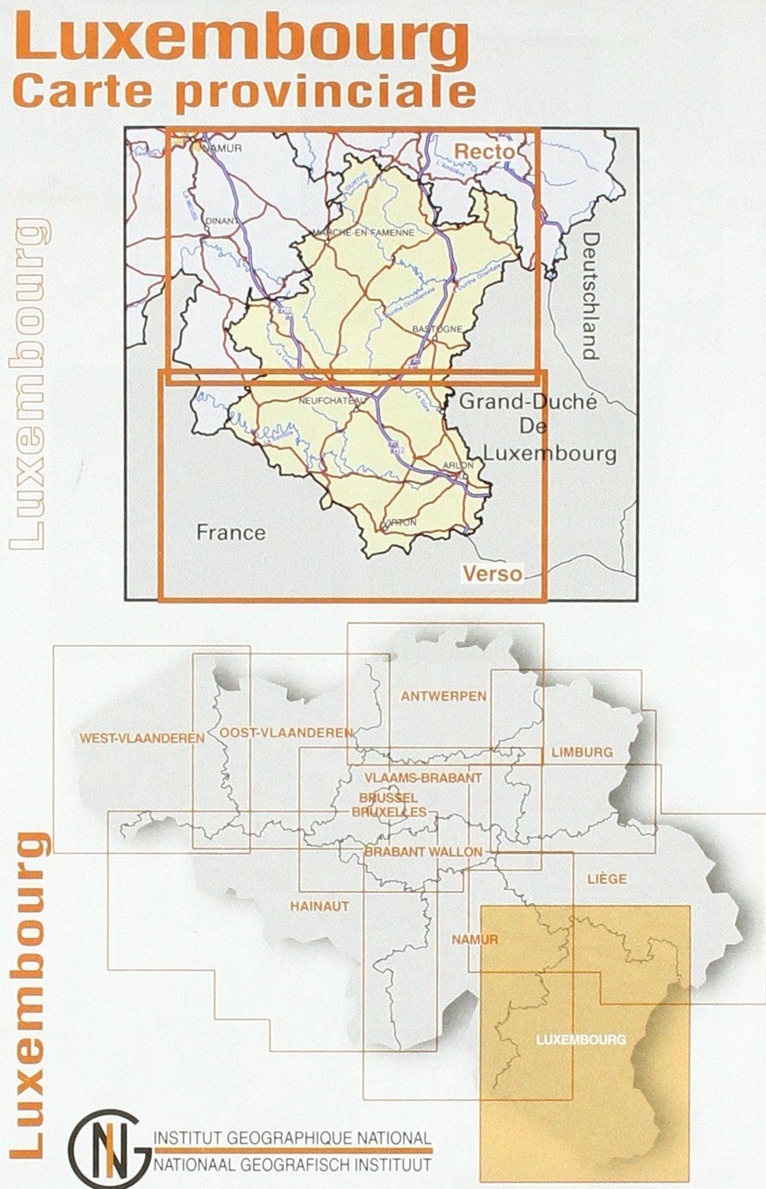
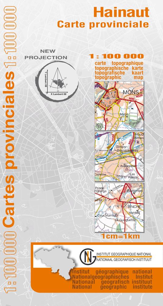
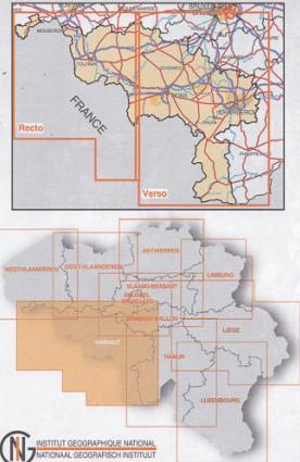
IGN Belgium – Official Maps of Belgium
The Belgian National Geographic Institute (IGN ) is the official body responsible for mapping the Belgian territory. Its maps offer a precise and reliable representation of the terrain, roads, trails, and landscape features. Intended for hiking, planning, and territorial studies alike, IGN Belgium maps are recognized references for accurately exploring the country.
432 products