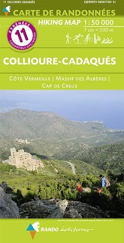
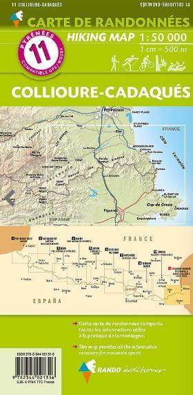
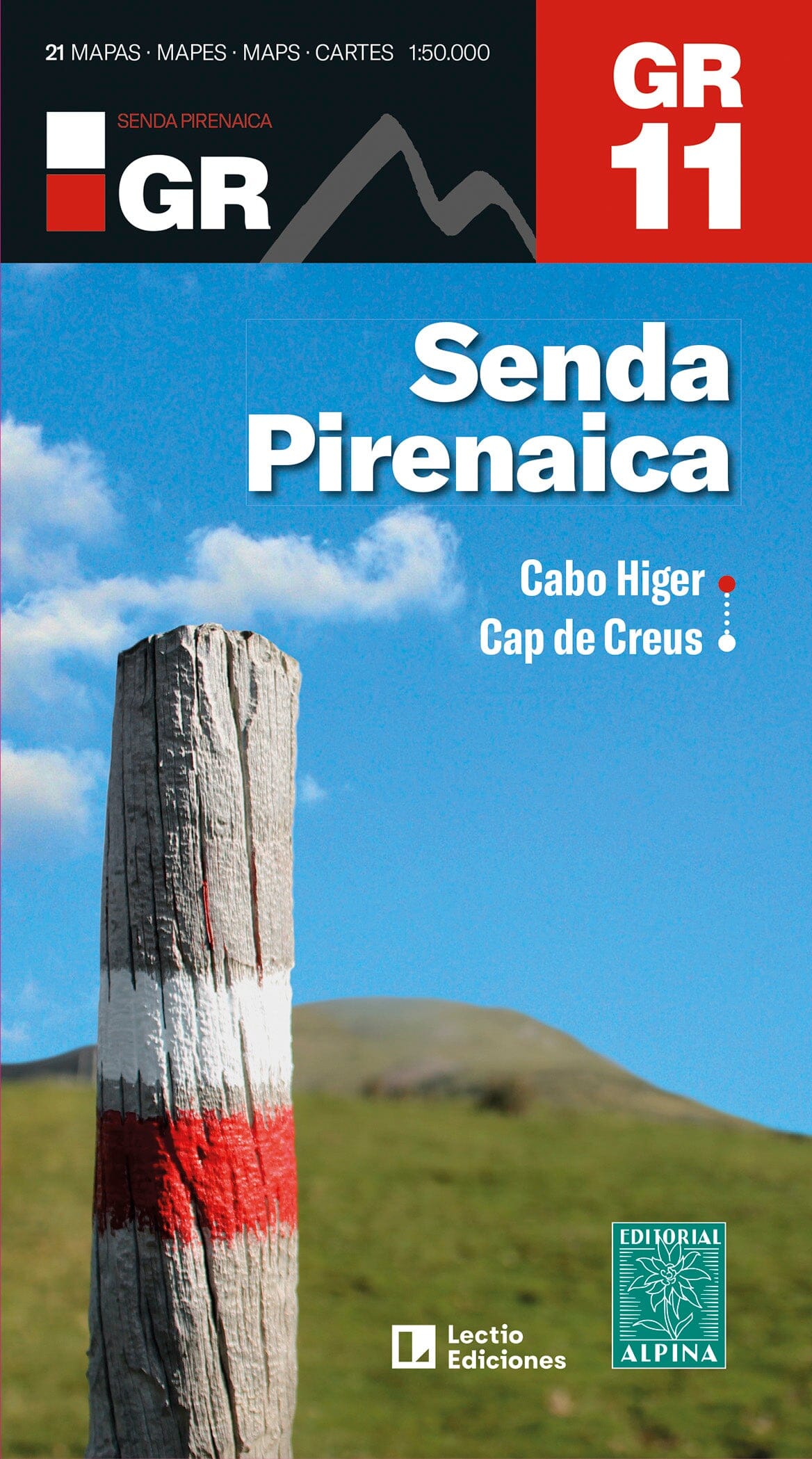
Hiking map - Plana de Vic (Central Catalonia) | Editorial Alpina
- Shipping within 24 working hours from our warehouse in France
- Delivery costs calculated instantly in the basket
- Free returns (*)
- Real-time inventory
- In stock, ready to ship
Over 19,500 maps 🗺️ and travel guides, hiking maps, posters, globes, and decor in stock!
MapsCompany becomes Cartovia ✨ We tell you everything here 🗺️
Trusted by map lovers and explorers 🌏 in 80+ countries since 2010 ✅
The Plana de Vic map at a scale of 1:25,000 represents a new addition to Editorial Alpina's extensive cartographic catalog. Traditionally focused on mountain areas, the Plana de Vic is a region with a great tradition of hiking, an important network of trails (GR, PR...) spread throughout the territory and a rich cultural and natural heritage which make it a place often unknown, even to its own inhabitants.
-Scale 1:25,000
-Distance contours: Distance of 10 m
-Main contours: 50 m
-Shaded relief
-Compatible with GPS
-Marked routes
ISBN/EAN : 9788480909921
Publication date: 2024
Scale: 1/25,000 (1cm=250m)
Printed sides: front
Folded dimensions: 21 x 11.5cm
Unfolded dimensions: 70x100cm
Language(s): English, Castilian, Catalan
Weight:
193 g
The exclusive newsletter for travel and discovery enthusiasts!