Hundreds of wall maps in stock and ready to brighten up your walls! We offer an extensive selection of wall maps in a variety of sizes and finishes, including paper, laminated and mounted with hanging rails, covering the following regions:
Choose Your Wall Map by Geographical Area
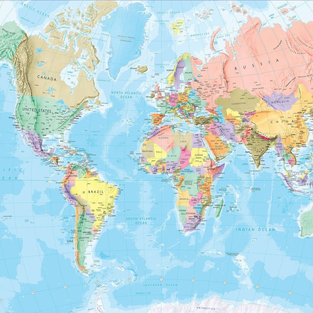
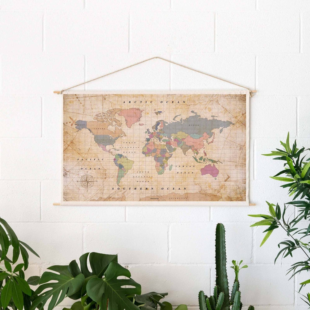
World / Planispheres
Political, physical, modern or historical maps.
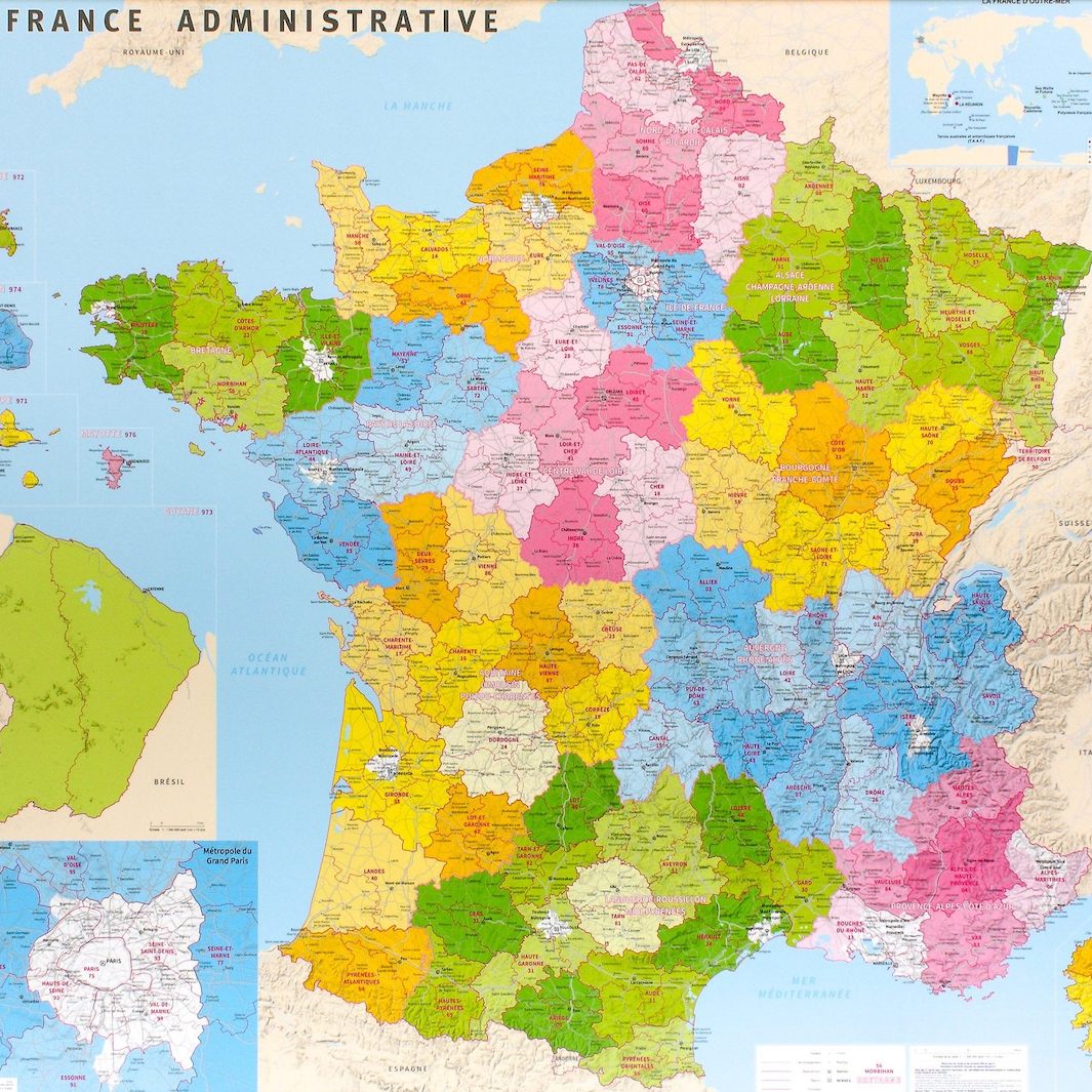
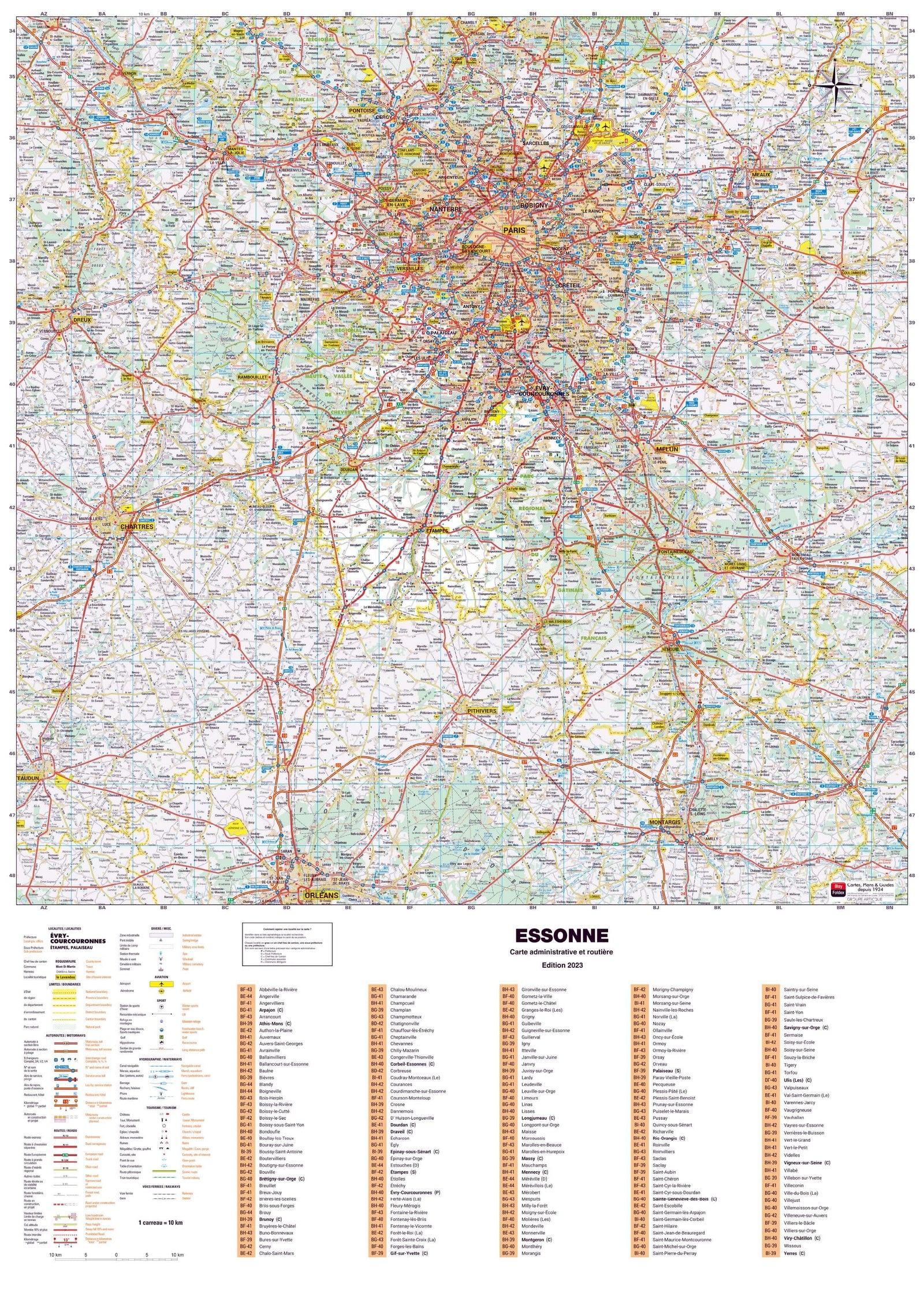
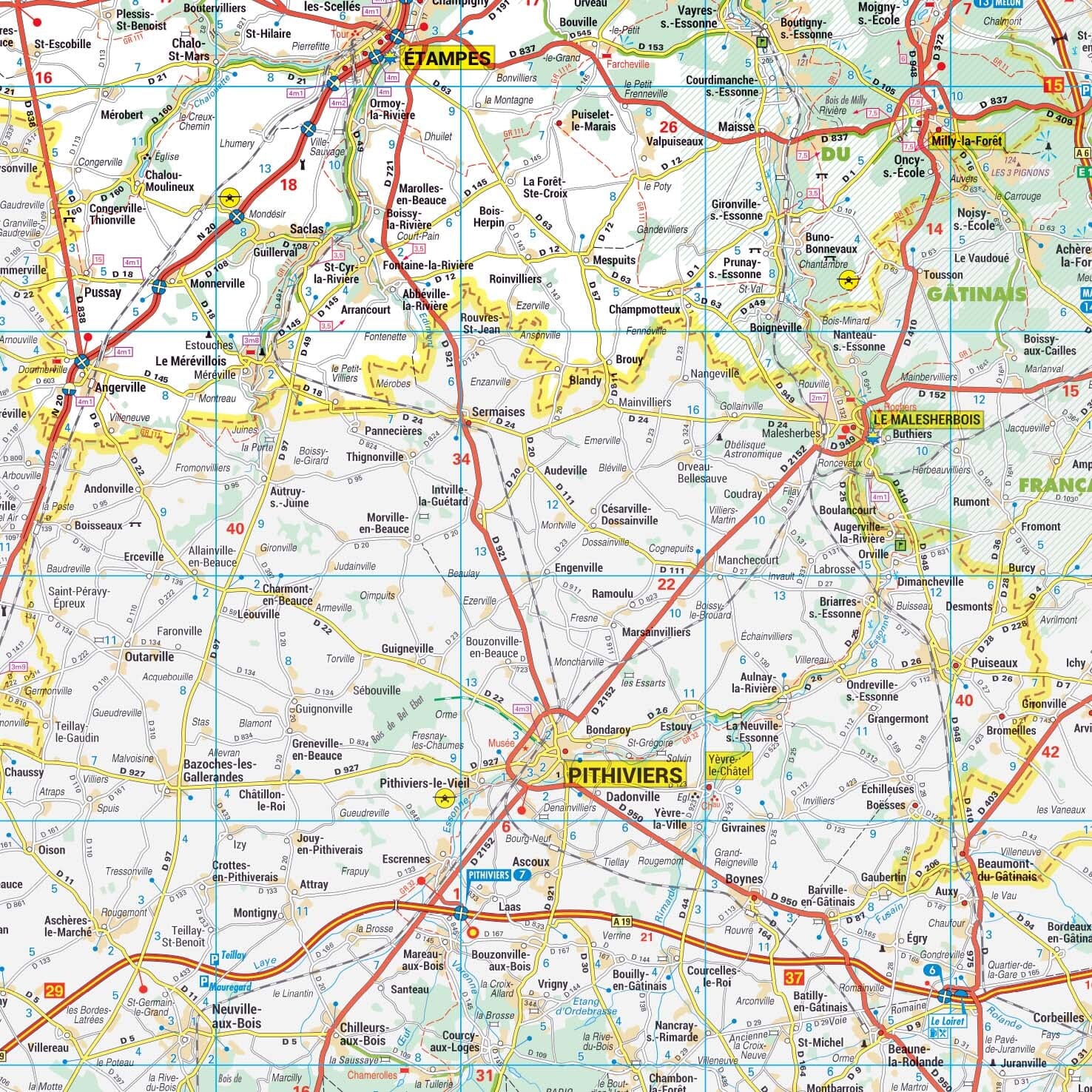
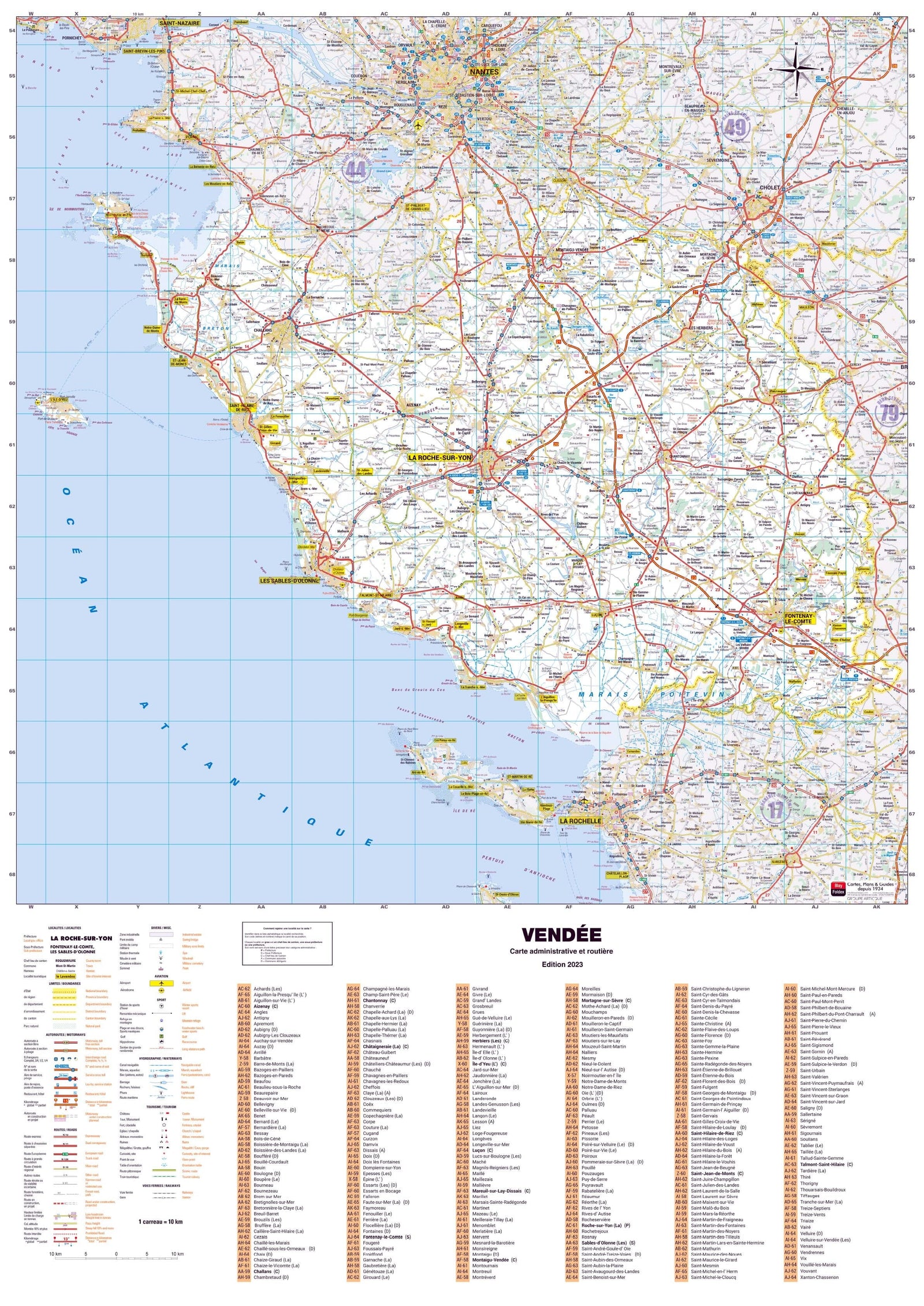
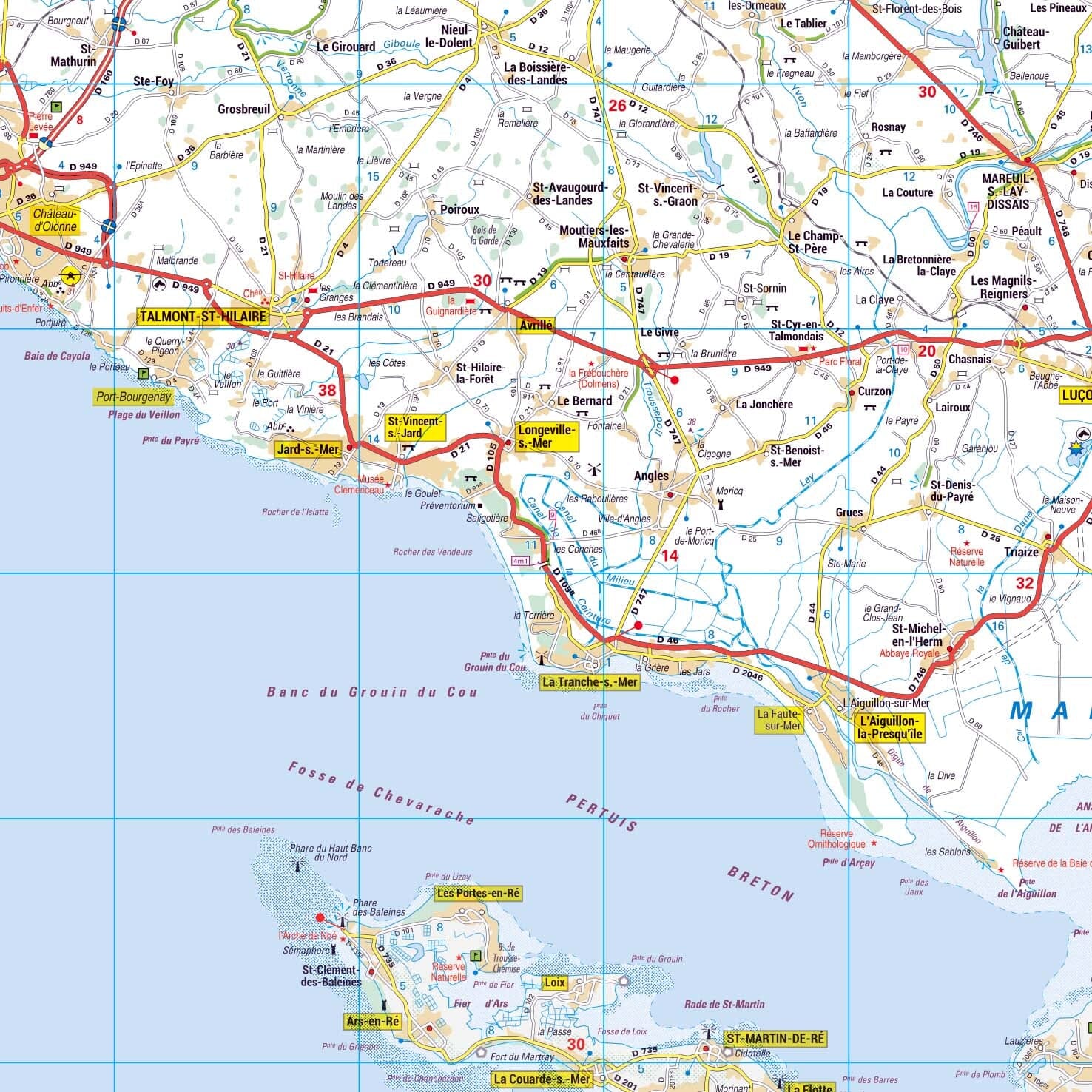
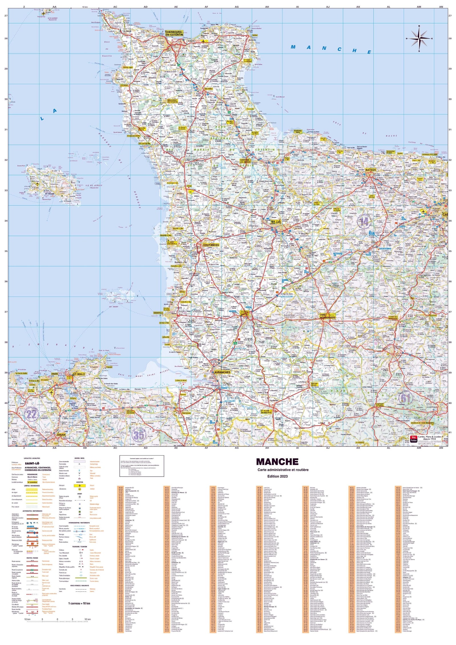
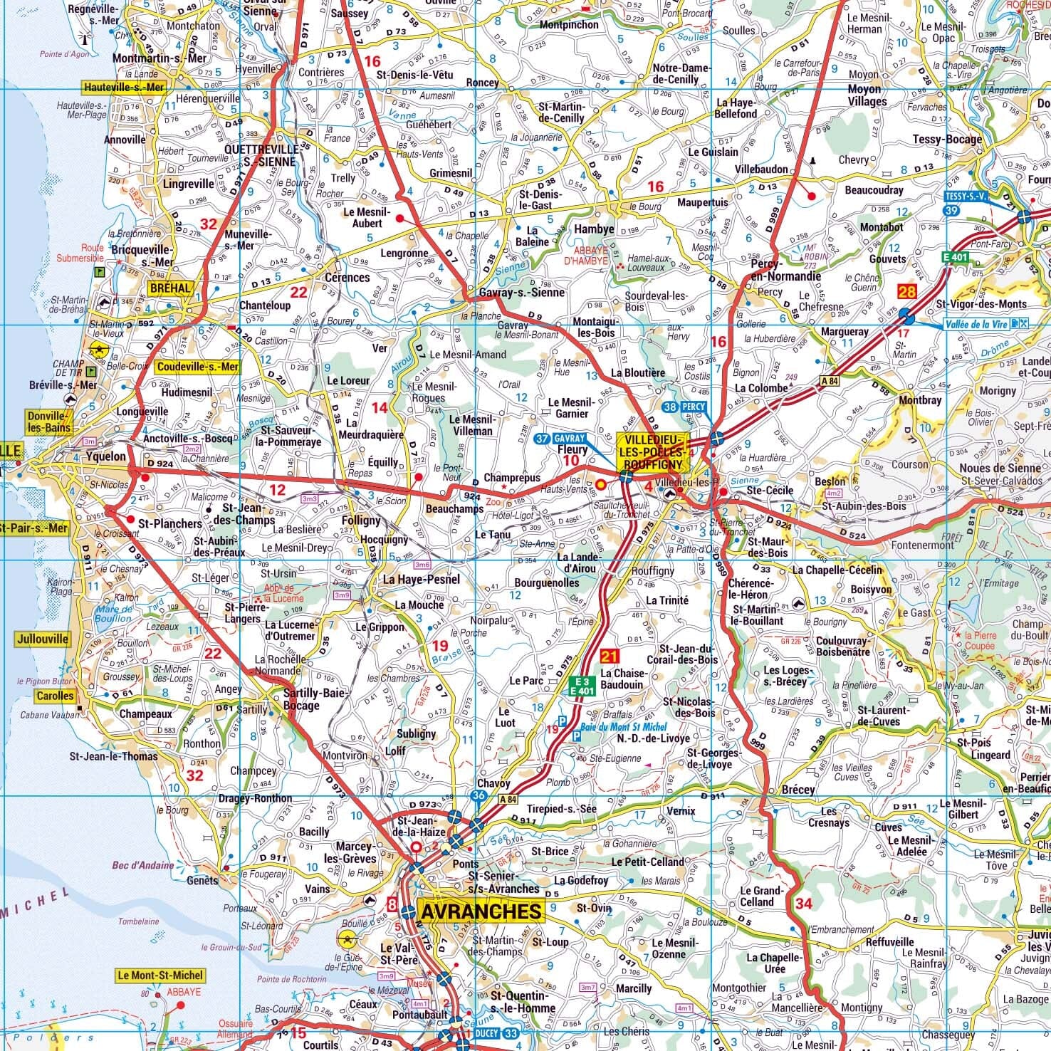
France
Administrative, physical and raised-relief maps.
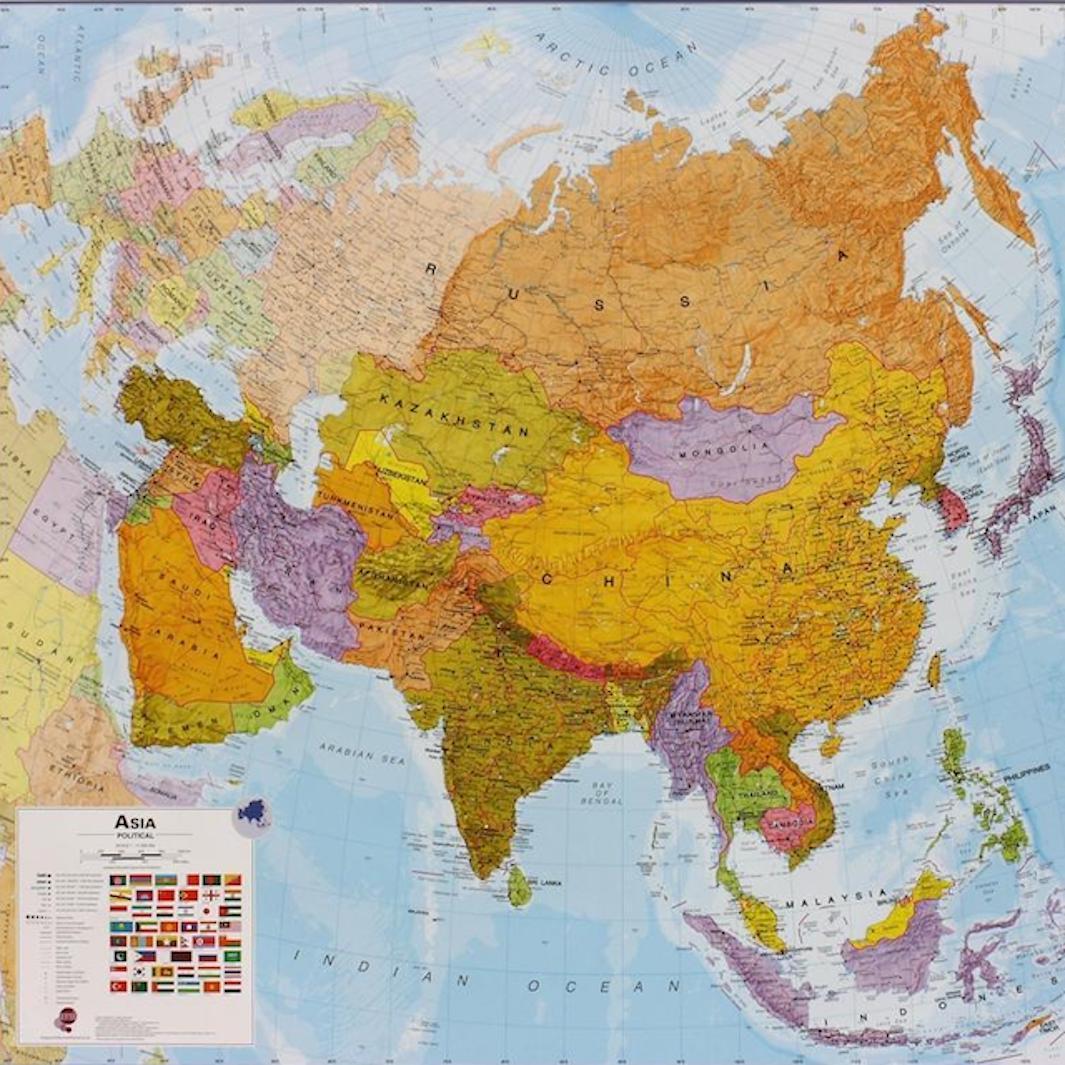
Asia
Wall maps of Asia, its different regions and many Asian countries.
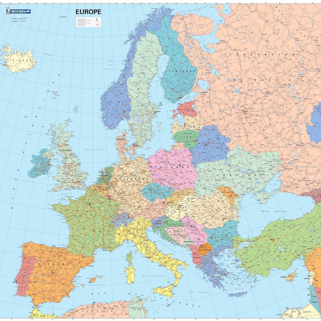
Europe
Maps of Europe and its different countries.
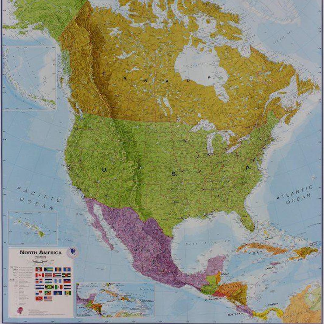
Americas
Maps of North America, Central America and South America.
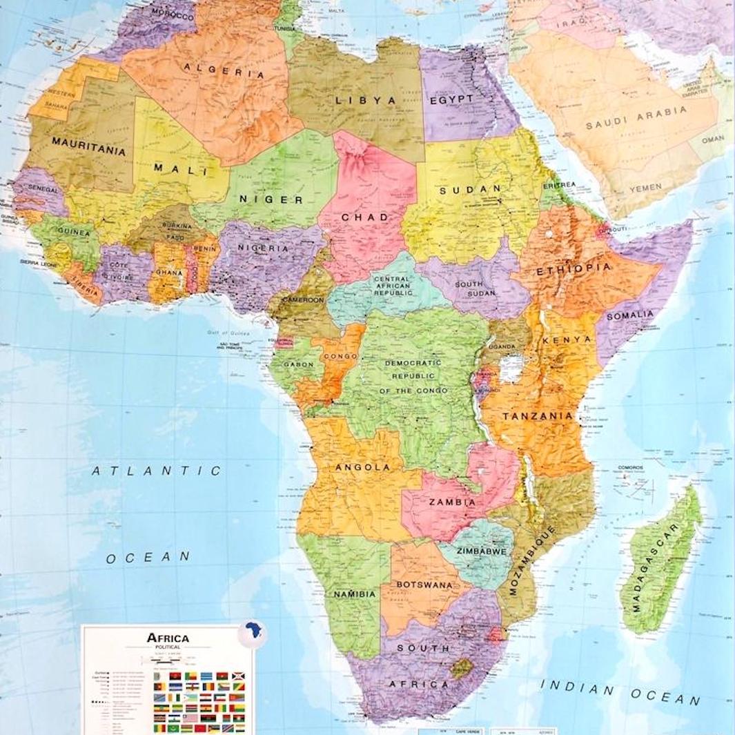
Africa
Maps of Africa and many African countries.
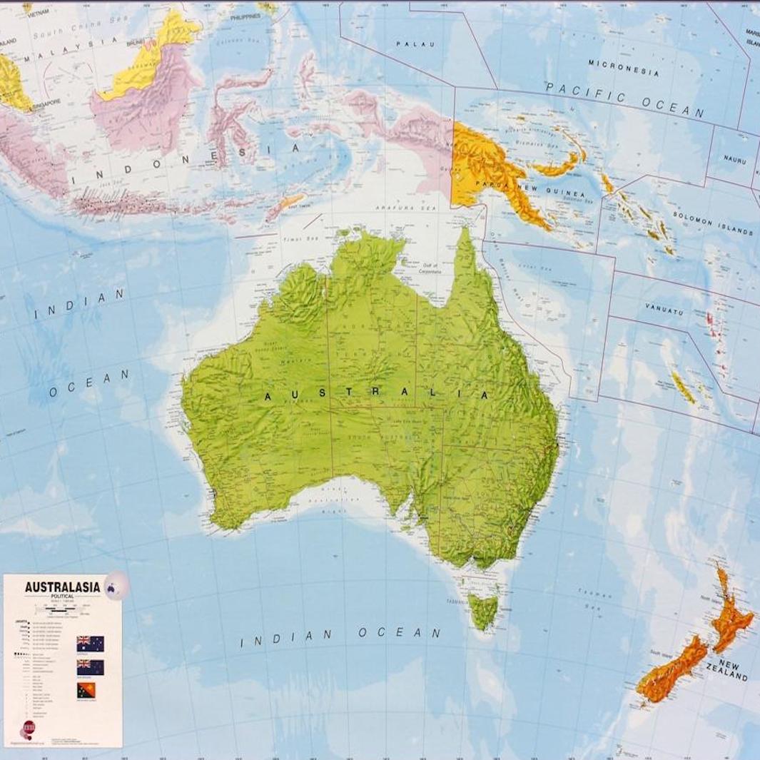
Oceania
Posters of Oceania, Australia and New Zealand.
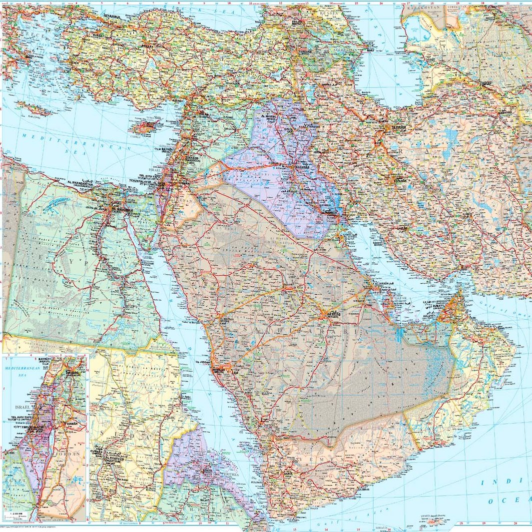
Middle East
Wall maps of the Middle East, its regions and main countries.
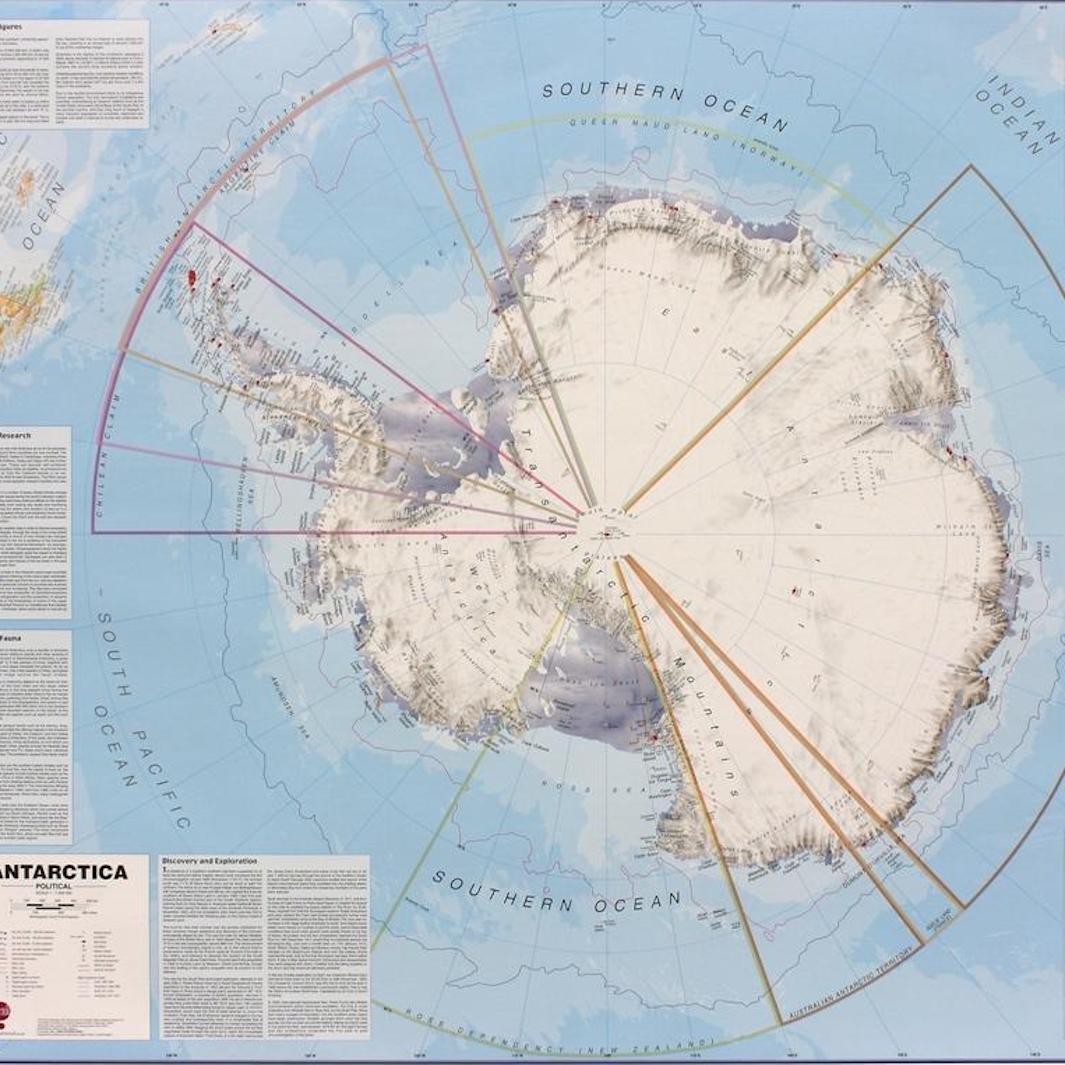
Arctic & Antarctic
Posters of the Arctic and Antarctica.
Discover all our specialist maps too!

Raised-Relief Maps
Three-dimensional maps that let you see and feel the shape of the terrain.
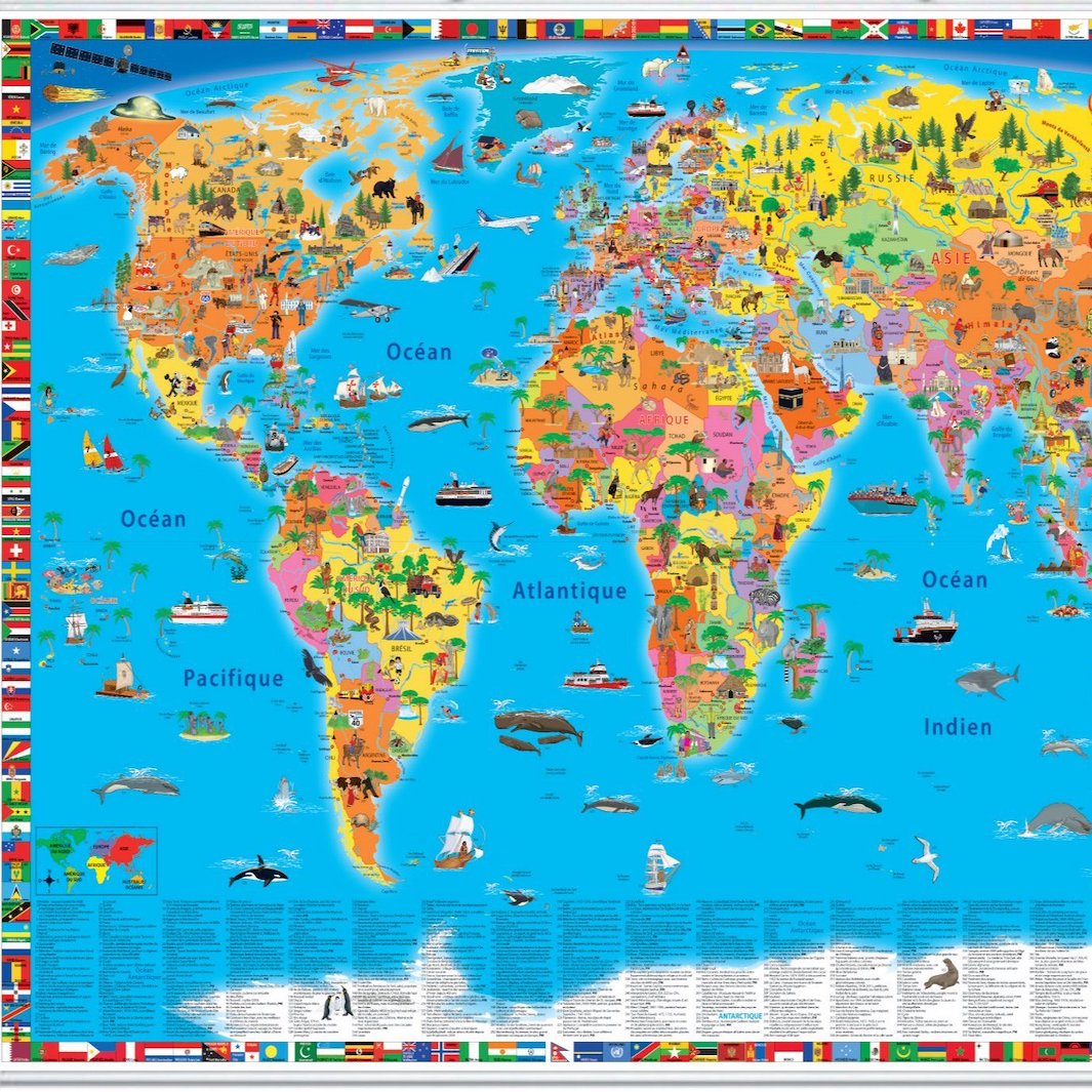
Maps for Children
Educational, colourful and fun maps for discovering the world through play.
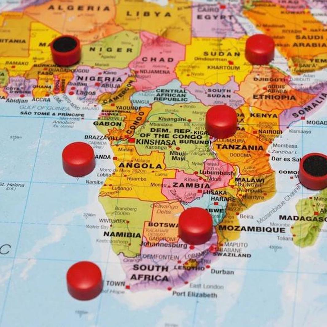
agnetic Maps and Boards
Maps mounted on a magnetic backing, allowing you to easily position and move your markers.
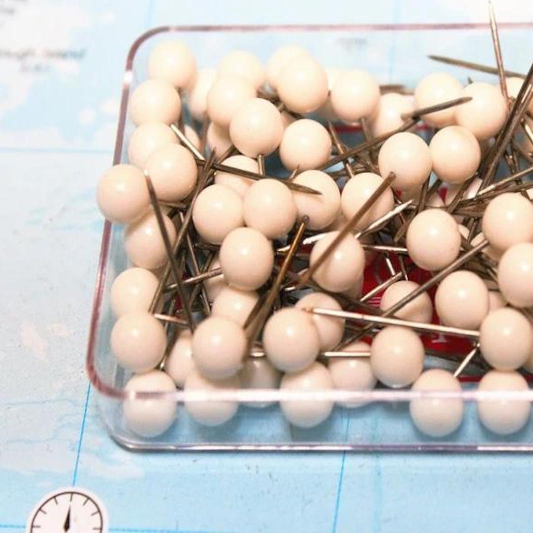
Pinboard Maps and Panels
Maps mounted on a pinboard backing, allowing you to add markers, photos or notes.
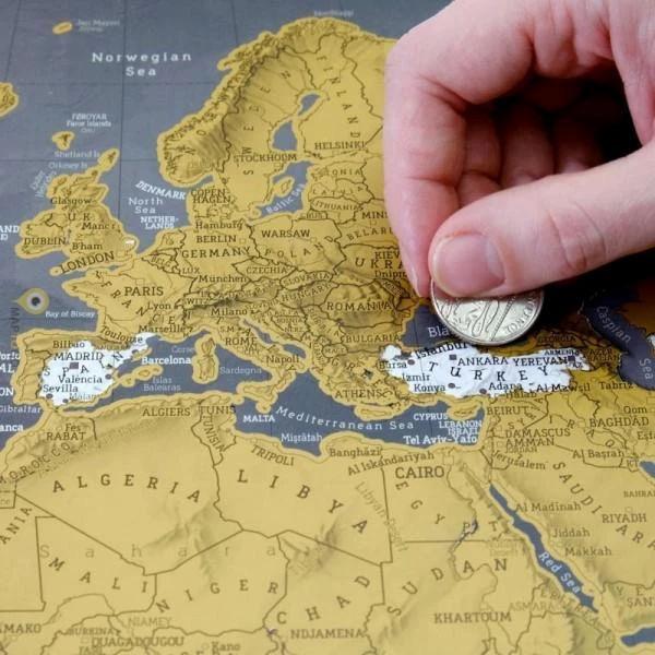
Scratch-off maps
Scratch-off maps for marking the countries or regions you have already visited.
Themed Decorative Maps
Original modern or vintage maps covering a wide range of themes.
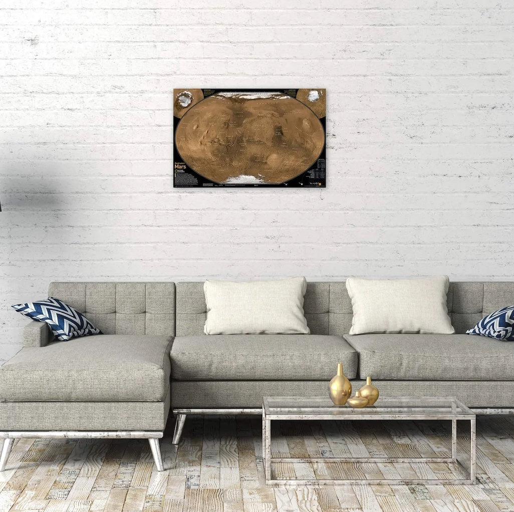
Space and planets
Maps and posters of the Moon, Mars, the Solar System and the Universe.
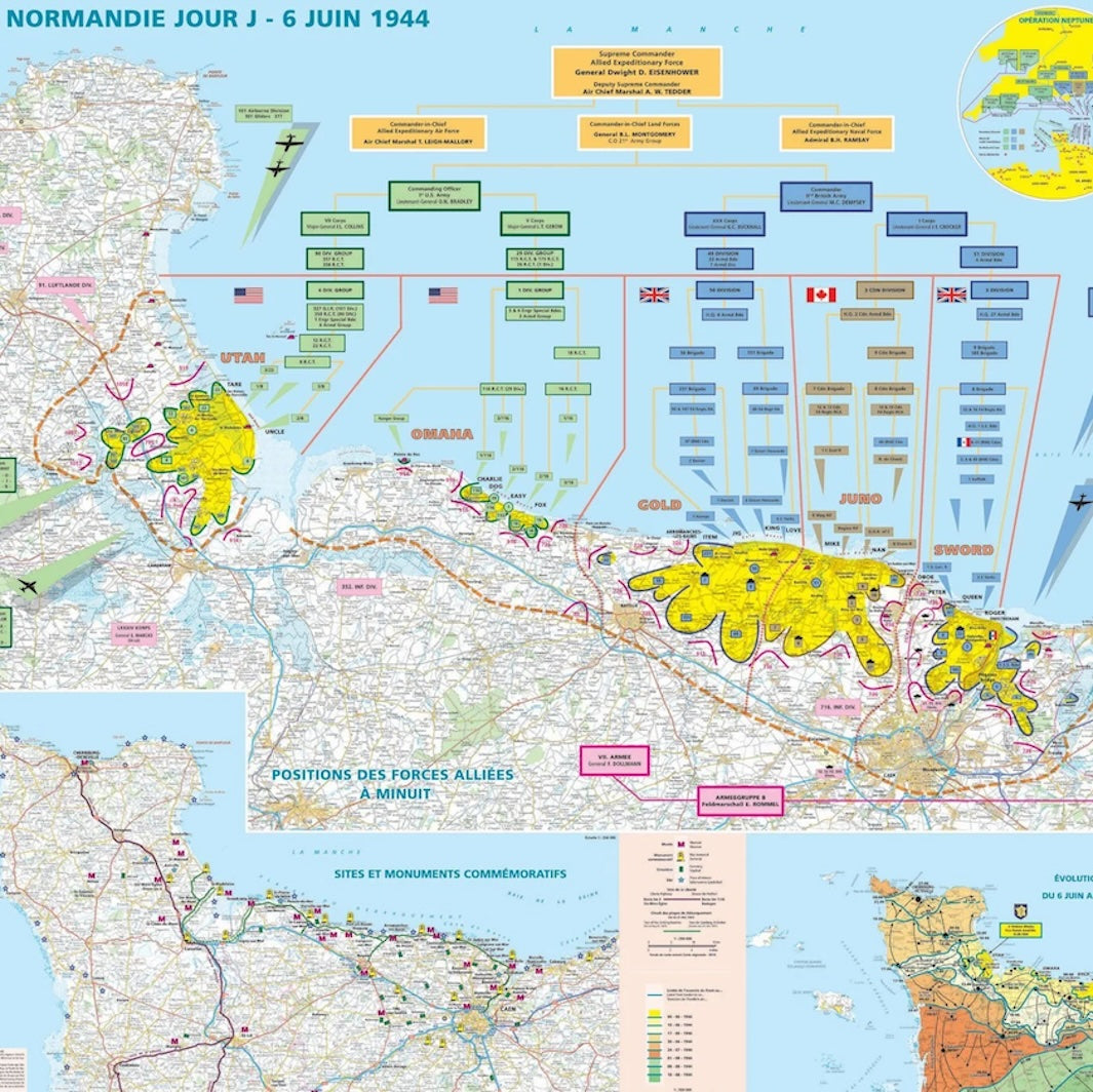
Historical maps
Reproductions of antique maps and historical documents from France and around the world.

Premium Edition
Exclusive wall maps printed to order, with a high-quality finish and a choice of several options.
Choose your Wall map by Type or Finish
Discover our selection of posters fitted with metal eyelets, wooden hanging rails or aluminium profiles for easy mounting. Our workshop can also provide a range of made-to-measure finishing options for hanging your wall maps, such as metal or synthetic rails, wooden rods or metal profiles. Please contact us with any special requests.