Southern Appalachians Road and Recreation Atlas | Benchmark Maps

Price
Regular price £2700
Regular price Sale price £2700
/
  • Shipped within 24 to 48h from our warehouse in the USA
  • All-inclusive price: customs duties are already paid by Cartovia
  • Free returns (*)
  • Real-time stock levels
  • Cartovia Guarantee – Delivery issue?
    We resend immediately upon receiving a simple photo.
  • In stock, ready to ship
  • Backordered, shipping soon
Tax included.

Frequently bought together:

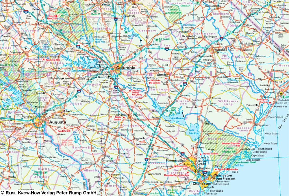
Explore the Southern Appalachians with this Benchmark Maps road and recreation atlas, designed for road trips, outdoor activities, and discovering the region's magnificent mountain landscapes.

This 2nd edition, in a large format and with 144 pages, covers portions of 10 states, from Harpers Ferry to the Great Smoky Mountains, the Blue Ridge Mountains, Springer Mountain, and Little River Canyon. The atlas has been extensively updated with recent data, field checks, local interviews, and user feedback.

Highlights

  • Detailed road atlas of the Southern Appalachians
  • Covers portions of 10 states
  • 144 pages
  • 2nd edition
  • Ideal for road trips and outdoor recreation
  • Updated mapping data
  • Numerous enhancements and updates
  • Field-verified information


ISBN/EAN : 9798986387987
Publication date: 2026
Pagination: 144 pages
Unfolded dimensions: 16 inches x 11 inches (40 x 27 cm)
Language(s): English
Weight: 16.9 oz