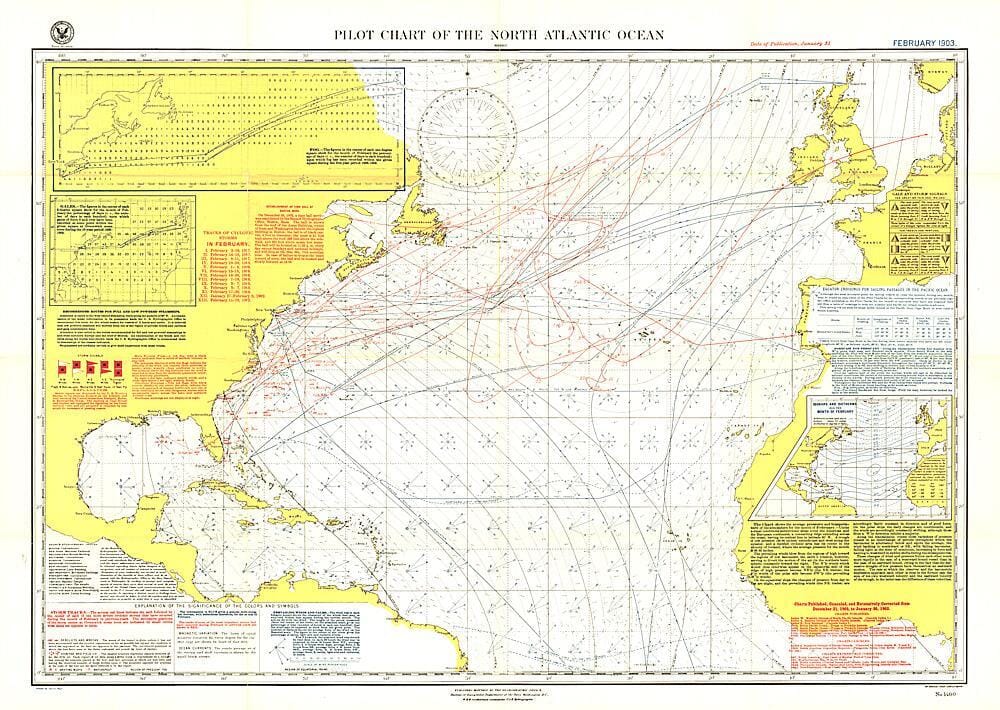
1903 Carte pilote de l'océan Atlantique Nord (carte) carte murale roulée (en tube) National Geographic Historic POD Default Title

1903 North Atlantic Ocean Pilot Chart (map)

Price
Regular price 3595 €
Regular price Sale price 3595 €
/
  • Shipping within 48 business hours from our warehouse in the USA. For this product, customs fees may be requested by the carrier upon delivery.
  • Choisissez votre mode et vos frais de livraison à l’étape de paiement, avant de valider.
  • Retours gratuits (*)
  • Stocks en temps réel
  • In stock, ready to ship
  • Backordered, shipping soon
Tax included.

Souvent achetés ensemble :

The North Atlantic Ocean Pilot Chart is a fascinating historical piece that appeared in National Geographic magazine in February 1903, at a time when all travel and trade across the Atlantic was by ship. It contains recommended steamship routes, branch hydrographic offices, and a wealth of information about weather conditions over the ocean, including storm and gale signals, cyclonic storm tracks, fog reports, and more. A truly unique chart for collectors.


ISBN/EAN : 2321592M
Publication date: 1903
Unfolded dimensions: 34in / 24in
Language(s): English
Weight: 200 g