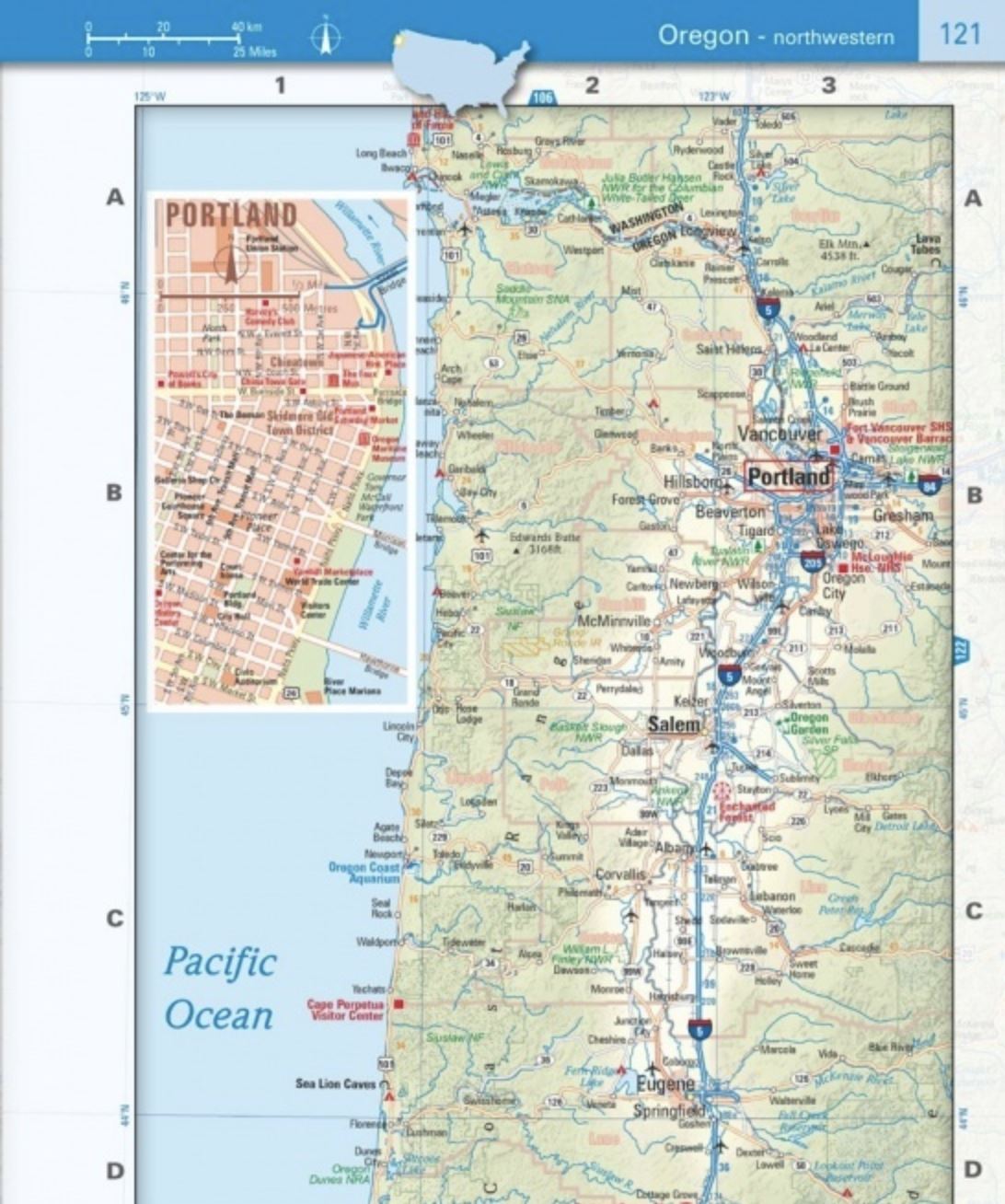
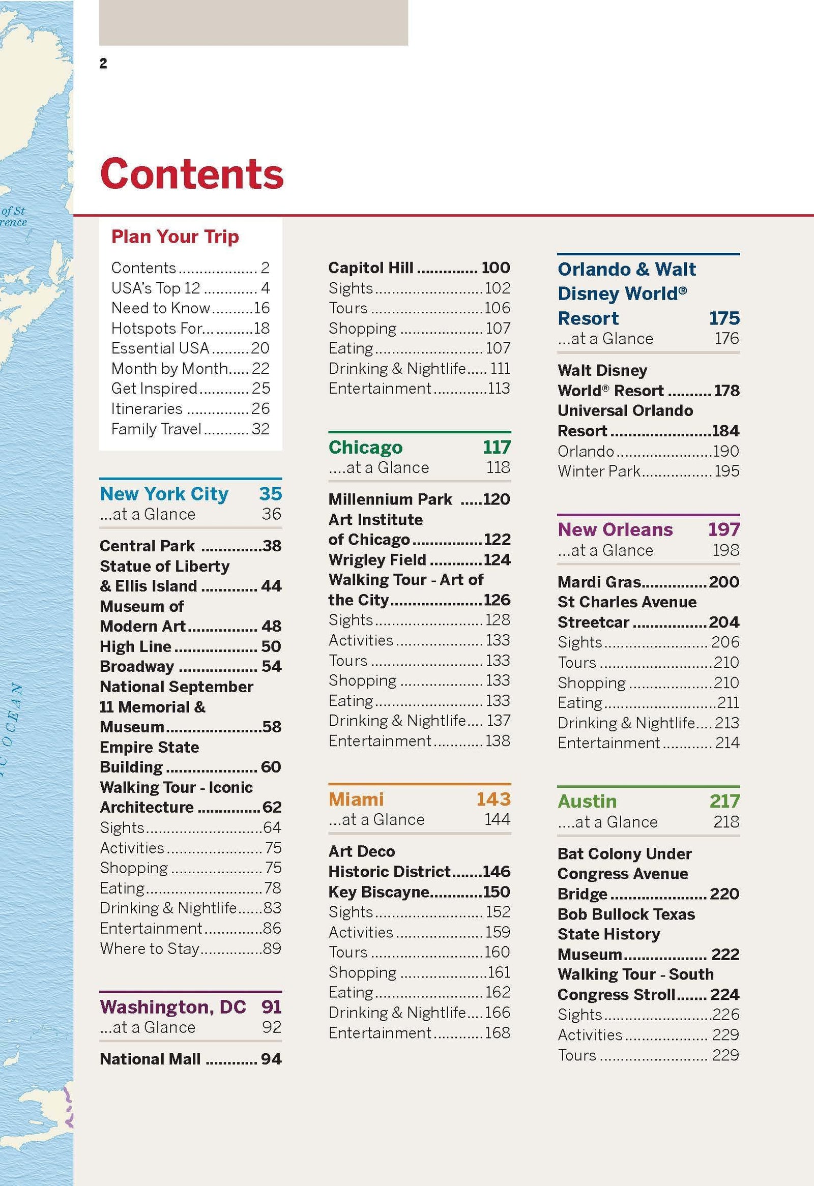
Rand McNally's folded map of the United States features clear, easy-to-read cartography showing all interstate and U.S. highways, as well as cities, points of interest, airports, boundaries, and much more.
Interstate and U.S. Highways
Markings of cities, points of interest, airports, boundaries, and more.
Mileage Chart
Mileage and Driving Time Map
National Facts and Symbols
Toll Road Chart
Physical Map of the United States
Visitor Information
ISBN/EAN : 9780528027789
Publication date: 2024
Folded dimensions: 9.45 inches x 4.33 inches (24 x 10 cm)
Unfolded dimensions: 37.01 inches x 25.59 inches (94 x 64 cm)
Language(s): English
Weight:
2.0 oz


