Road Map - Central Queensland Coast | Hema Maps
- Shipping within 24 working hours from our warehouse in France
- Shipping method and fees are shown at checkout
- Free returns (*)
- Real-time stock levels
- In stock, ready to ship
Over 19,500 maps 🗺️ and travel guides, hiking maps, posters, globes, and décor items in stock!
Over 19,500 maps 🗺️ and travel guides, hiking maps, posters, globes, and décor items in stock!
Rated Excellent ⭐️ on Trustpilot — 9,000+ reviews from explorers and map lovers worldwide.
Rated Excellent ⭐️ on Trustpilot — 9,000+ reviews from explorers and map lovers worldwide.
Explore the world, one map at a time 🗺️
Explore the world, one map at a time 🗺️
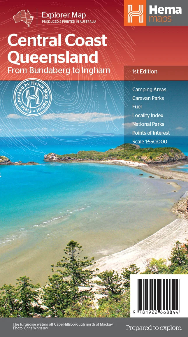
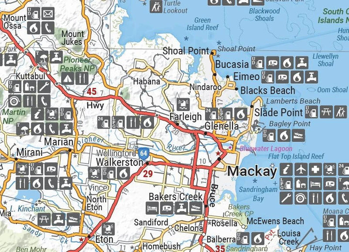
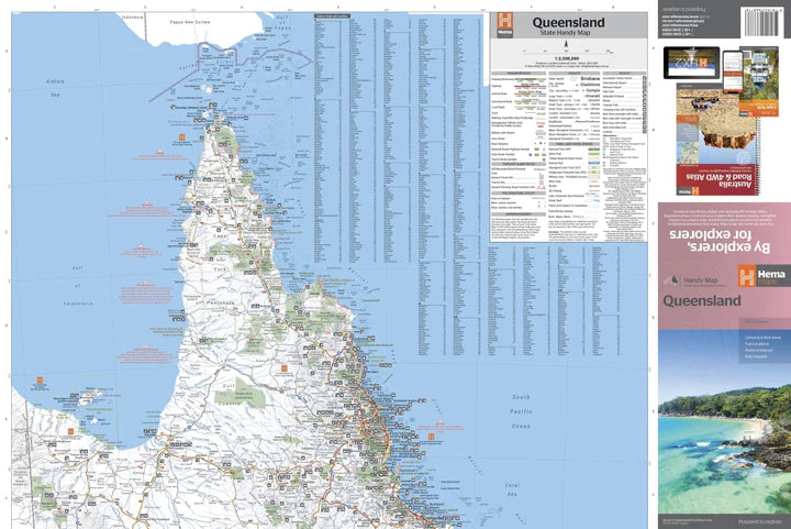
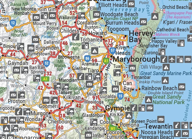
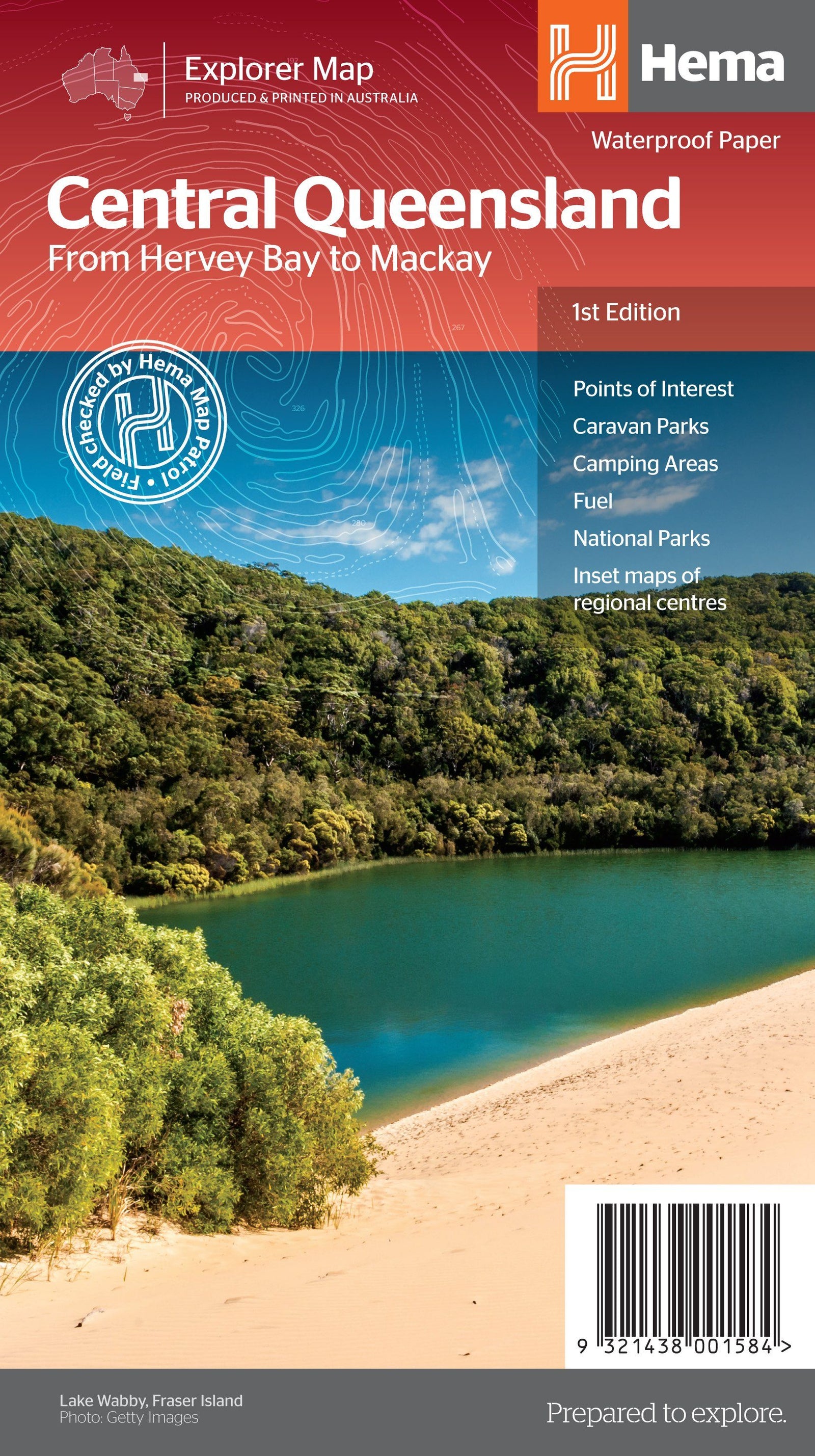
Queensland Central Coast road map published by Hema Maps.
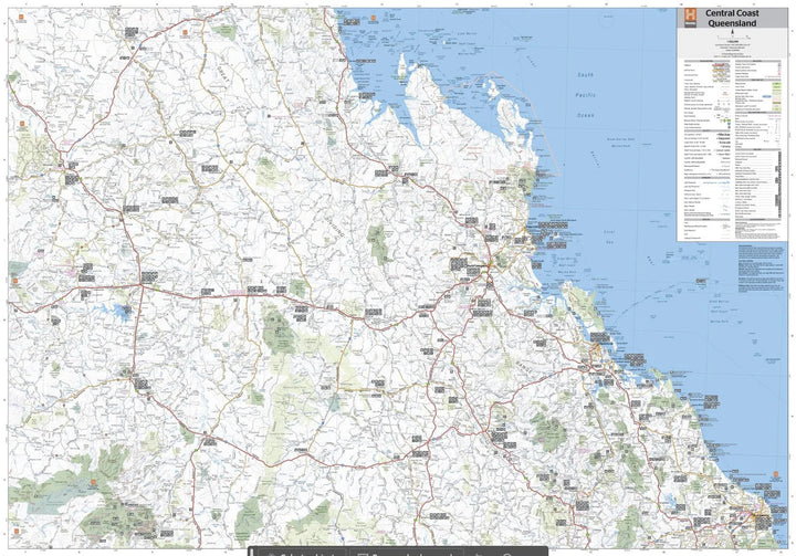
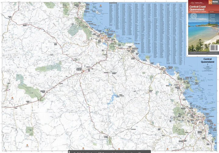
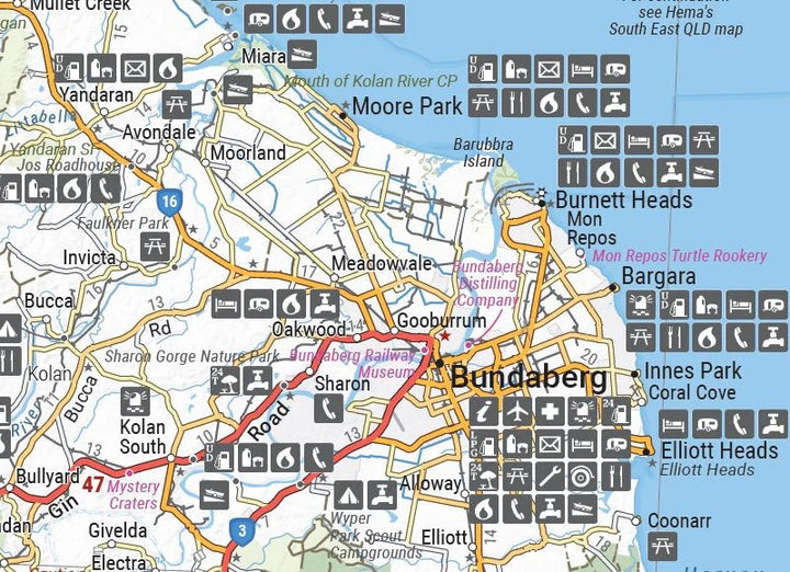
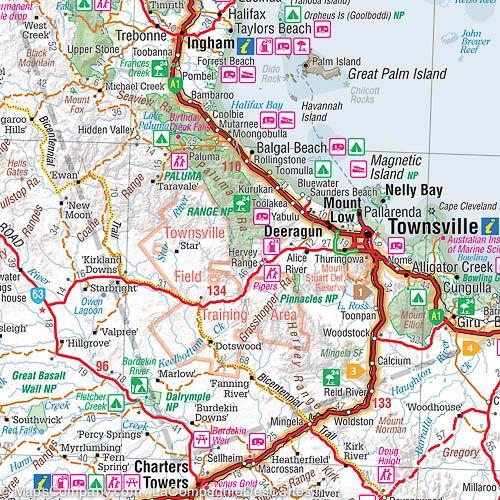
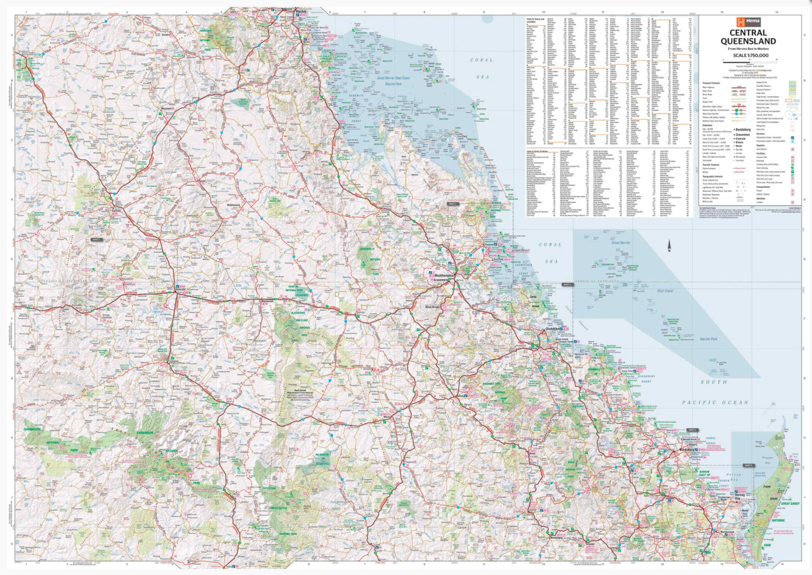
This double-sided regional map shows the Central Queensland Coast (1:550,000), stretching from Bundaberg south to Ingham in the north and to Clermont in the west. The front of the map extends from Mackay in the south to Ingham in the north, encompassing Bowen, Ayr, Townsville, and Ingham along the coast, extending well beyond Charters Towers in the west. The back covers the area from Bundaberg in the south to Camila in the north, with places such as Gladstone, Yeppoon, Marlborough along the coast, and Emerald in the west.
Main features:
ISBN/EAN : 9781922668844
Publication date: 2024
Scale: 1/550,000 (1cm=5.5km)
Printed sides: both sides
Folded dimensions: 14x25cm
Unfolded dimensions: 100x70cm
Language(s): English
Weight:
90 g
The exclusive newsletter for travel and discovery enthusiasts!
