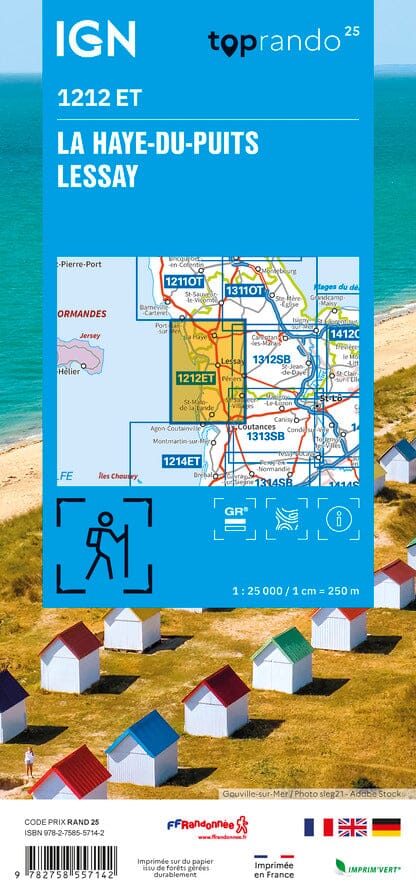
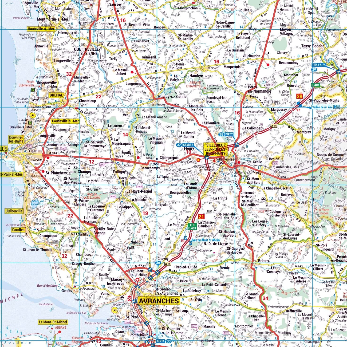
TOP 25 Map No. 1212 ET - La Haye-du-Puits, Lessay (Manche) | IGN
- Shipping within 24 working hours from our warehouse in France
- Shipping method and fees are shown at checkout
- Free returns (*)
- Real-time stock levels
- In stock, ready to ship
Over 19,500 maps 🗺️ and travel guides, hiking maps, posters, globes, and décor items in stock!
Rated Excellent ⭐️ on Trustpilot — 9,000+ reviews from explorers and map lovers worldwide.
Explore the world, one map at a time 🗺️
TOP 25 topographic map No. 1212ET of La Haye-du-Puits and Lessay published by IGN.
This hiking map offers contour lines spaced 10 meters apart and a detailed legend (vegetation, rocks, communication routes down to the smallest path, buildings up to the shed, woods, isolated trees, rivers, springs, etc.).
Marked trails and tourist information are indicated. Scale 1:25,000 (1 cm = 250 m).
Municipalities covered : Saint-Germain-sur-Ay, Gouville-sur-Mer, Pirou, Coutances, Blainville-sur-Mer, Saint-Sauveur-Villages, Vesly, Créances, Varenguebec, Geffosses, La Feuillie, Muneville-le-Bingard, Saint-Nicolas-de-Pierrepont, Saint-Patrice-de-Claids, Bretteville-sur-Ay, Millières, Lessay, Périers, Laulne, Montsenelle, Le Plessis-Lastelle, La Haye-du-Puits
Places to discover : Cotentin and Bessin Marshes, Lessay Land, Mont Castre, Mathon Peat Bog Nature Reserve, Omonville Castle, Pirou Castle, Ste-Suzanne, St-Gerbold Hermitage
ISBN/EAN : 9782758557142
Publication date: 2025
Scale: 1/25,000 (1cm=250m)
Printed sides: front
Folded dimensions: 24 x 11cm
Unfolded dimensions: 96 x 143 cm
Language(s): French, English, German
Weight:
100 g
The exclusive newsletter for travel and discovery enthusiasts!