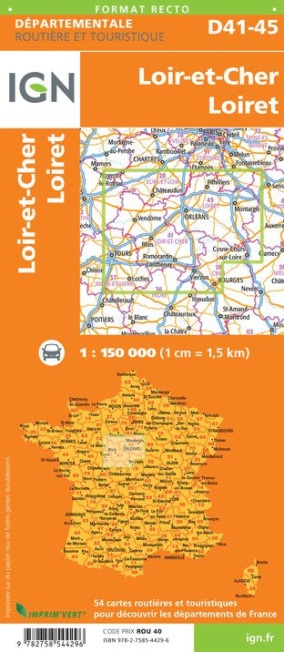
Departmental Map D41 - 45 - Loir-et-Cher & Loiret | IGN
- Shipping within 24 working hours from our warehouse in France
- Shipping method and fees are shown at checkout
- Free returns (*)
- Real-time stock levels
- In stock, ready to ship
Over 19,500 maps 🗺️ and travel guides, hiking maps, posters, globes, and décor items in stock!
Rated Excellent ⭐️ on Trustpilot — 9,000+ reviews from explorers and map lovers worldwide.
Explore the world, one map at a time 🗺️
Road map of the Loir-et-Cher and Loiret departments which includes the free and paid motorway network, the main roads and secondary roads, a cities index and the administrative limits. p>
Scale 1/150 000 (1 cm = 1.5 km). p>
ISBN/EAN : 9782758544296
Publication date: 2018
Scale: 1/150,000 (1cm=1.5km)
Printed sides: front
Folded dimensions: 11 x 25cm
Unfolded dimensions: 100 x 74cm
Language(s): French, English, German
Weight:
80 g
Excellent value and excellent product. Look forward to using them
R A S indispensable à tous voyageurs . Merci
R A S carte nécessaire pour voyageur sur le territoire . R A S Merci
The exclusive newsletter for travel and discovery enthusiasts!