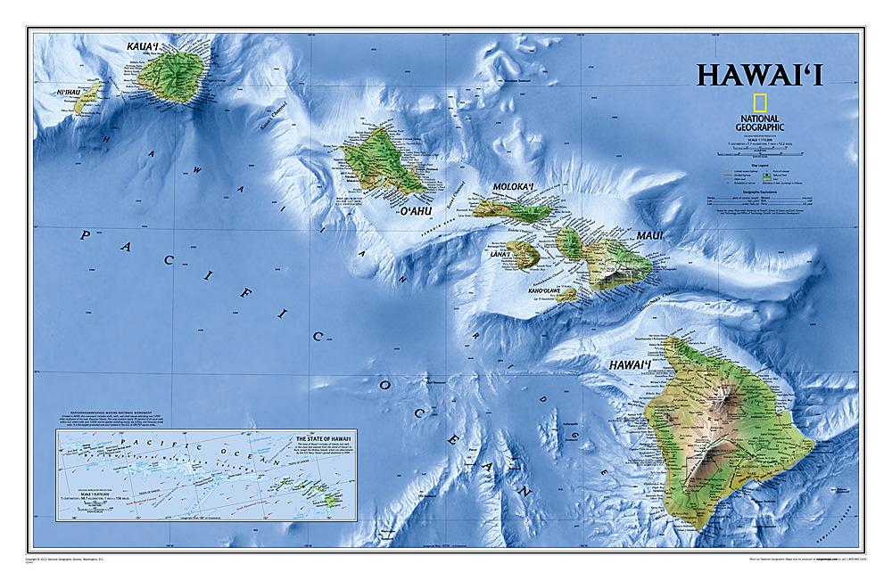
Hawaii tourist map (USA) published by National Geographic. On the front, map of Hawaii (Big Island), and on the back, a map of each other island: Oahu, Kauai and Niihau, more Maui with Molokai, Lanai and Kahoolawe.
In inset, overall map of the Hawaii archipelago. Airports and ferry links between the islands are marked. Curves of level spaced from 200 m with the name of the mountains indicated. Indication of roads and slopes, protected areas (national park, reserves ...), tourist attractions and also included, photos and a cities index.
Detailed waterproof and tearing resistant.
Scale 1/220 000.


