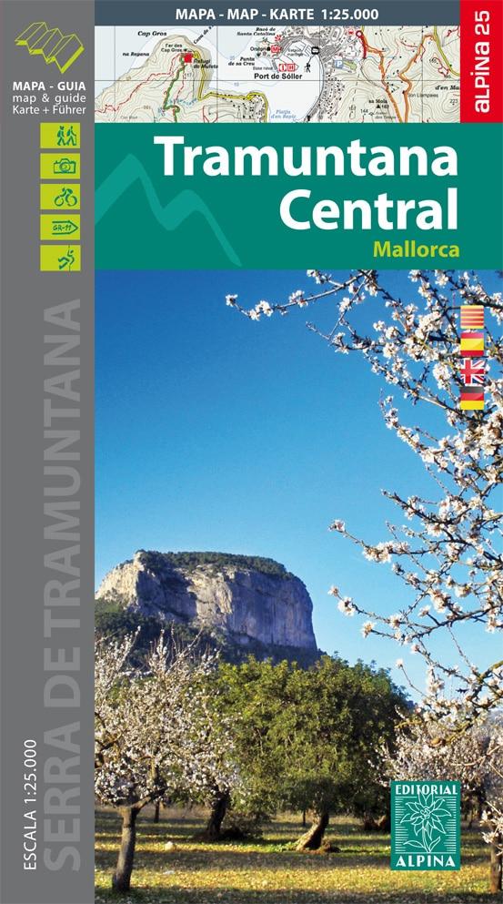
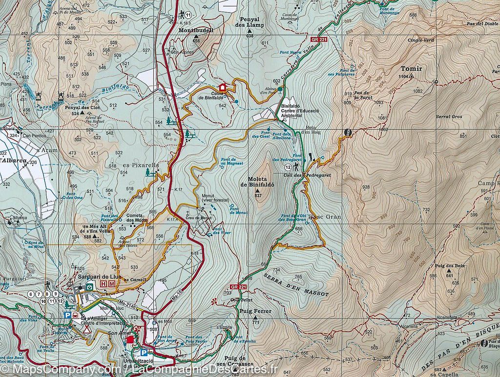
Topographic map of Serra de Tramuntana (South Zone) in Majorca (Balearic Islands) published by Editorial Alpina. The detailed map is in color with the curves of level and covers the area around Andratx, Essels, Banyalbufar and Calvià. Scale 1/25 000 (1 cm = 250 m).
The Hiking guide (in German, English, Spanish) brings together the different hikes possible (on foot, by bike) with the elevation, the estimated times and explanations.
Everything is protected by a laminated case.
ISBN/EAN : 9788480906036
Publication date: 2017
Scale: 1/25,000 (1cm=250m)
Printed sides: front
Folded dimensions: 21 x 12.5 x 1cm
Unfolded dimensions: 97 x 68cm
Language(s): English, German, Castilian, Catalan
Weight:
196 g


