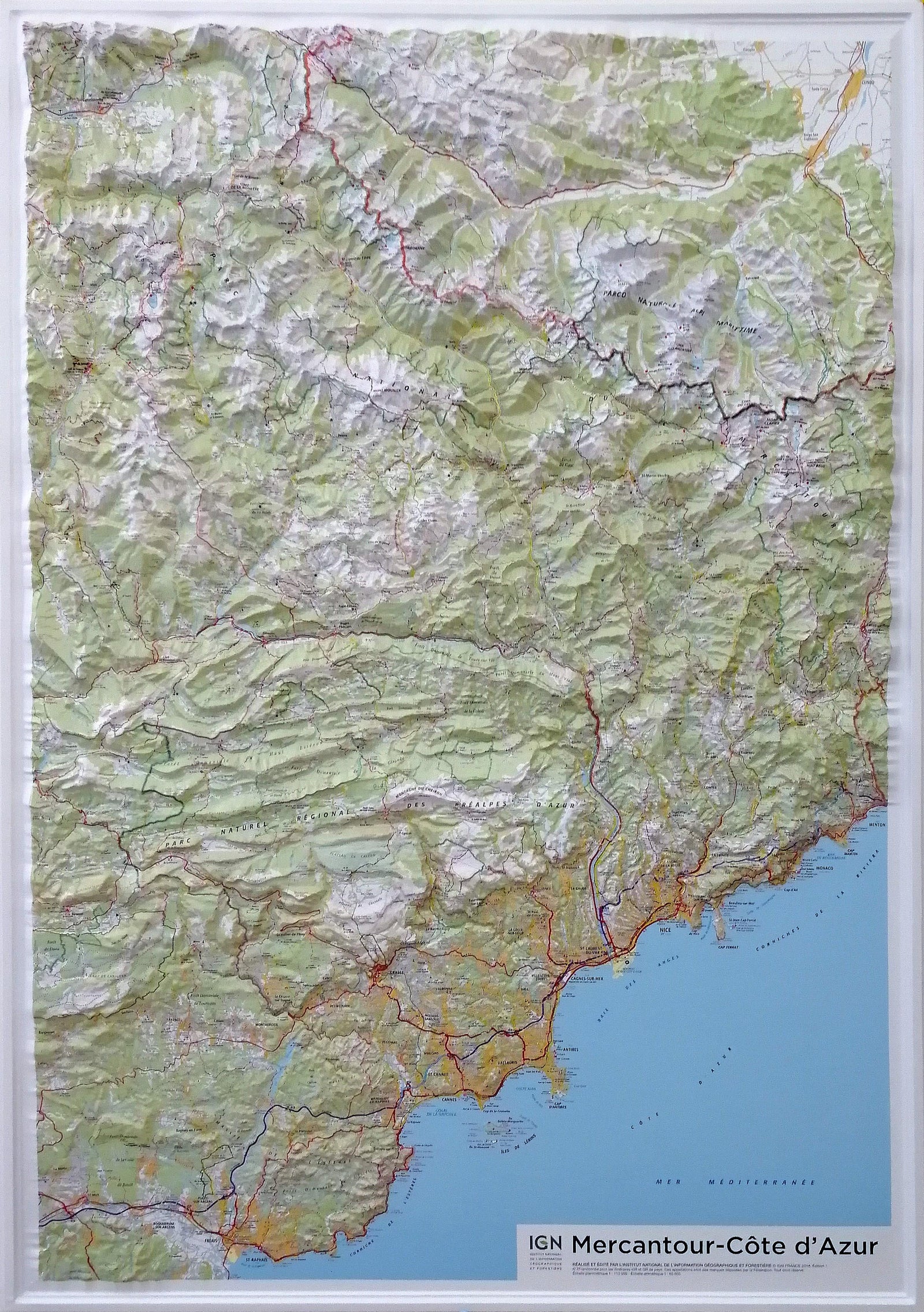
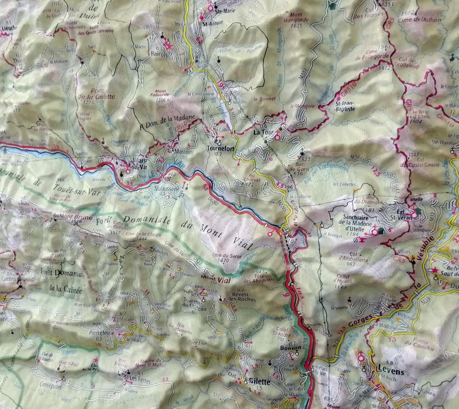
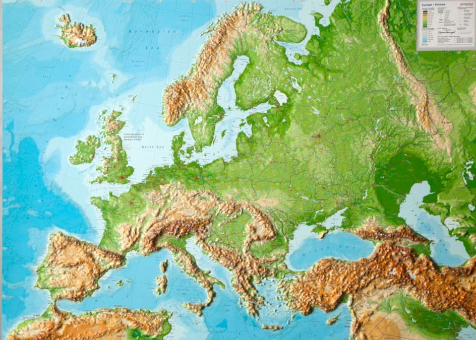
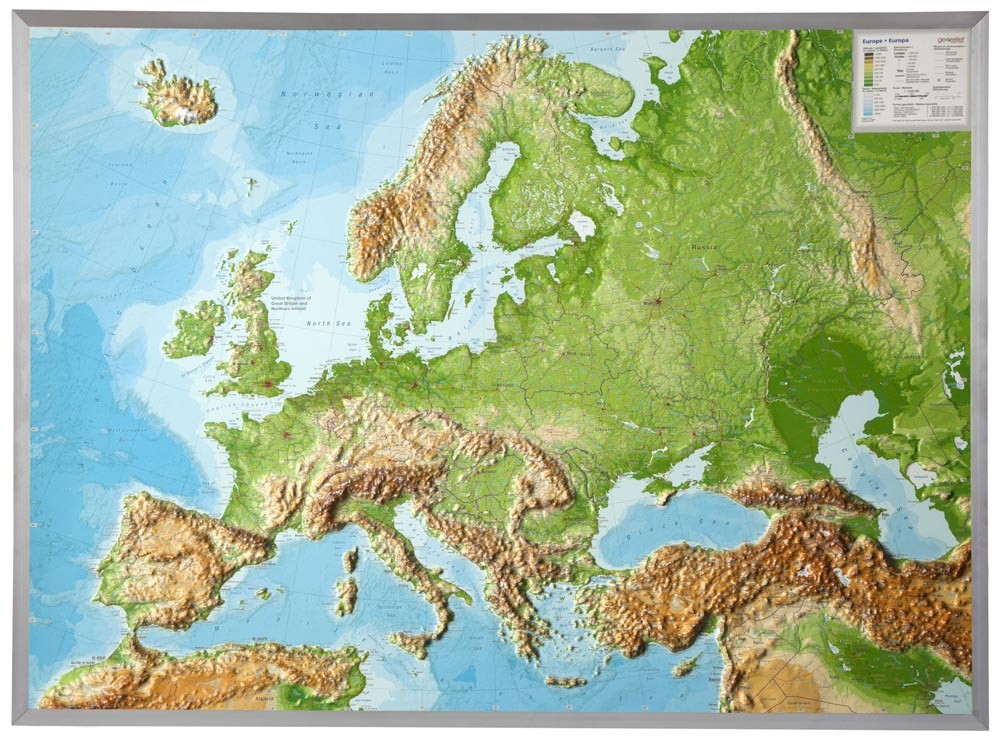
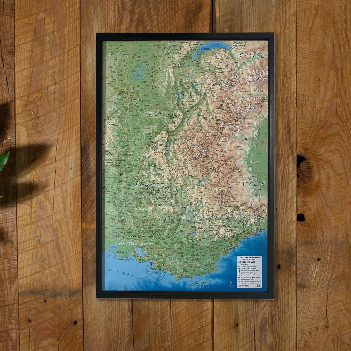
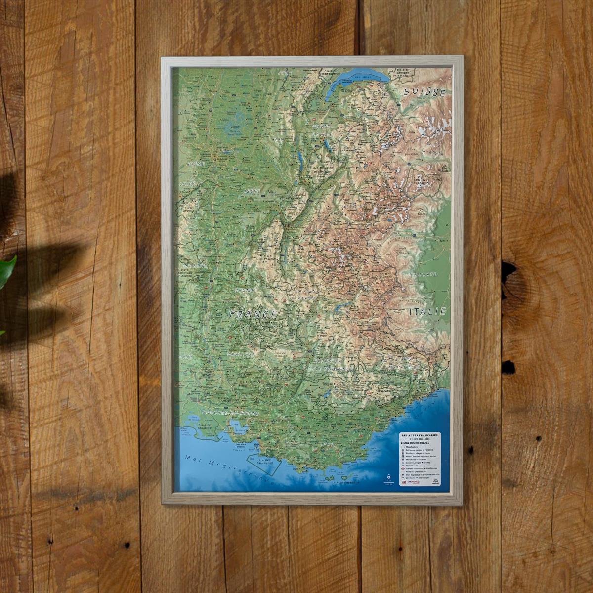
Relief Wall map - Mercantour & Cote Azur - 80 x 113 cm | IGN (French)
- Made to order - Shipping within 5 to 8 working days
- Shipping method and fees are shown at checkout
Over 19,500 maps 🗺️ and travel guides, hiking maps, posters, globes, and décor items in stock!
Rated Excellent ⭐️ on Trustpilot — 9,000+ reviews from explorers and map lovers worldwide.
Explore the world, one map at a time 🗺️
Embossed Wall map that covers the Mercantour and the coast Azur. P>
From the Mediterranean Sea to the peaks of the Southern Alps, discover this region of exception in 3 dimensions: p>
- The Mercantour National Park, p>
- The Regional Natural Park of Azure Prealps, p>
- The coast Azur (from Saint - Raphael to Menton). p>
Decorative element or educational tool, you choose the function of this embossed map of the IGN. span>
p>
ISBN / EAN : 9782758544555
Date de publication : 2018
Echelle : 1/110,000 (1cm=1.1km)
Impression: front
Dimensions déplié(e) : 80 x 113cm
Langue : French
Poids :
1395 g
Il manque un bout du Mercantour et de la Roya, c'est dommage !
écritures trop petites, mer trop bleue pour affichage dans un séjour avec d'autres tableaux ou posters. Et c'est pourtant là qu'on peut convivialement parler cartes.
The exclusive newsletter for travel and discovery enthusiasts!