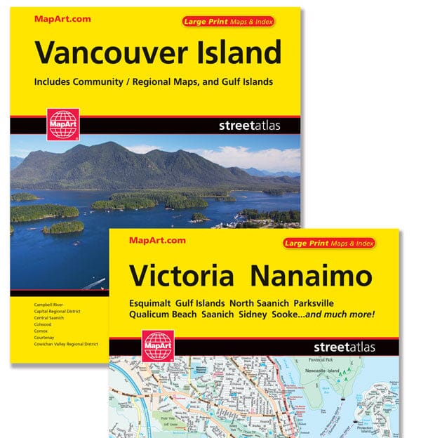
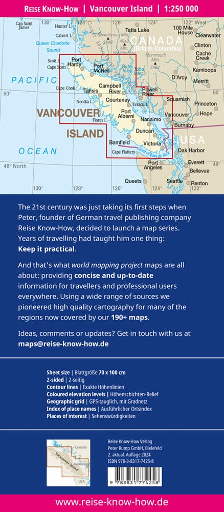
Vancouver Island / Victoria, Nanaimo Atlas - 1211 This is the definitive automotive companion for traveling in this region, whether you're a resident or a short-term visitor. It has all the features to make even unfamiliar areas easy to navigate. Inside this 160-page atlas, you'll find city maps (1:23,000), regional maps (1:475,000), location maps, legends, a map of downtown Victoria, a community index, a street index, and information about the Vancouver Island Ferry. City maps include Campbell River, Capital Regional District, Central Saanich, Colwood, Comox, Courtenay, Cowichan Valley Regional District, Cumberland, Duncan, Esquimalt, Highlands, Ladysmith, Langford, Lantzville, Metchosin, Nanaimo (City), Nanaimo (Regional District), North Cowichan, North Saanich, Oak Bay, Parksville, Port Alberni, Port Hardy, Port McNeill, Qualicum Beach, Saanich, Sidney, Sooke, Tofino, Ucluelet, Victoria, and View Royal. Detailed city maps include the Trans-Canada Highway, divided highways, major roads, secondary roads, and more.
