Road map No. 1 - West & South England in Wales | AA Publishing
- Shipping within 24 working hours from our warehouse in France
- Shipping method and fees are shown at checkout
- Free returns (*)
- Real-time stock levels
- In stock, ready to ship
Plus de 19 500 cartes 🗺️ et guides de voyage, cartes de randonnée, posters, globes, déco en stock !
Plus de 19 500 cartes 🗺️ et guides de voyage, cartes de randonnée, posters, globes, déco en stock !
La Compagnie des Cartes devient Cartovia ✨ Notée Excellent ⭐️ sur Trustpilot (9 000+ avis).
Livraison gratuite pour toute commande > 50 € (cartes pliées et guides, France métropolitaine)
Livraison gratuite pour toute commande > 50 € (cartes pliées et guides, France métropolitaine)
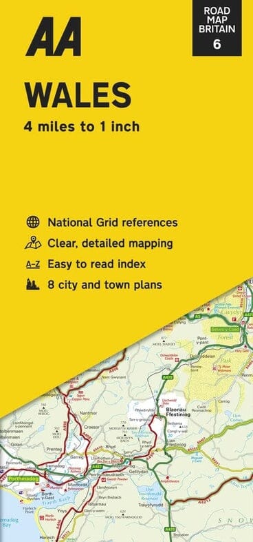
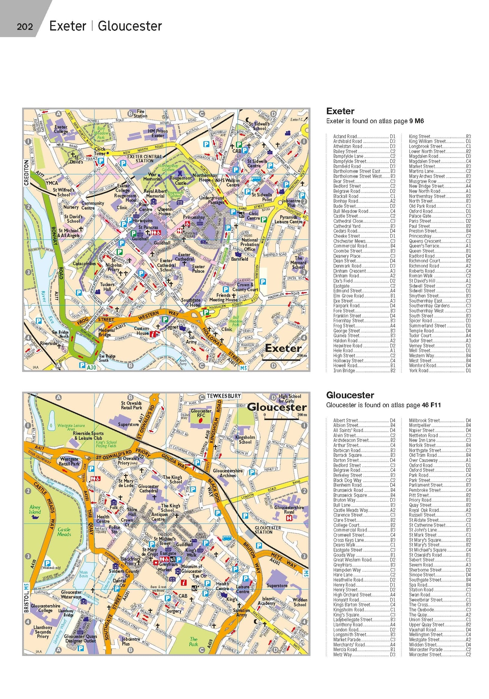
Map from western England and southern Wales published by AA Publishing. Scale 1: 200 000 (1 cm = 2 km). This map highlights national parks and tourist areas. The map shows tolls, service areas, road numbers, highways, wide and narrow pathways as well as local roads. Campsites are geolocated on the map.
National parks and places of interest are also highlighted. Plans of Bath, Bournemouth, Bristol, Brixham, Mapiff, Exeter, Newport, Newquay, Paignton, Plymouth, Poole, Swansea, Taunton and Torquay included on the back. Index of the cities provided.
ISBN/EAN : 9780749584061
Publication date: 2024
Scale: 1/200,000 (1cm=2km)
Printed sides: both sides
Folded dimensions: 26 x 12 x 0.5cm
Unfolded dimensions: 145 x 98cm
Language(s): English
Weight:
90 g
produit conforme livré rapidement
Bonne carte touristique
Le produit correspond à mes attentes pour la planification d’un voyage à venir.
Carte très bien détaillée, c'st un bon achat
L'infolettre exclusive des passionnés de voyage et de découverte !


