Travel map - Pyrenees & Andorra | National Geographic
- Shipping within 24 working hours from our warehouse in France
- Shipping method and fees are shown at checkout
- Free returns (*)
- Real-time stock levels
- In stock, ready to ship
Over 19,500 maps 🗺️ and travel guides, hiking maps, posters, globes, and décor items in stock!
Over 19,500 maps 🗺️ and travel guides, hiking maps, posters, globes, and décor items in stock!
Rated Excellent ⭐️ on Trustpilot — 9,000+ reviews from explorers and map lovers worldwide.
Rated Excellent ⭐️ on Trustpilot — 9,000+ reviews from explorers and map lovers worldwide.
Explore the world, one map at a time 🗺️
Explore the world, one map at a time 🗺️
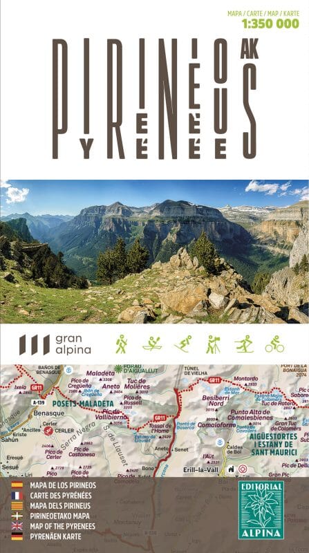
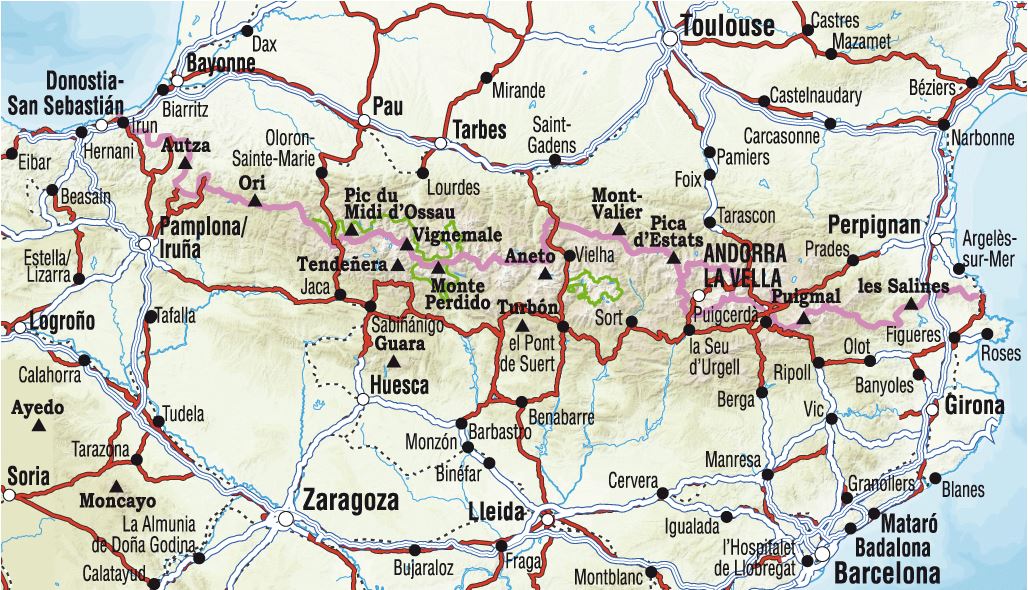
Highly detailed map of the Pyrenees (including Andorra) published by National Geographic. Tourist indications and national parks, relief mapping (with level curves), Detailed roads with distances and cities index included.
Detailed waterproof and tearing resistant.
ISBN/EAN : 9781566955409
Publication date: 2022
Scale: 1/275,000 (1cm=2.75km)
Printed sides: both sides
Folded dimensions: 23.5 x 10.7 x 0.8cm
Unfolded dimensions: 96 x 65cm
Language(s): English
Weight:
89 g
Très bien
It was the only map I could find that contained the whole Pyrenees on one sheet which is important because I am cycling across the Pyrenees and space and lightness are important. The fact it is waterproof is a real bonus. a perfect map for cycling and I buy a lot of maps.
took a while to arrive. But a good quality map
The exclusive newsletter for travel and discovery enthusiasts!


