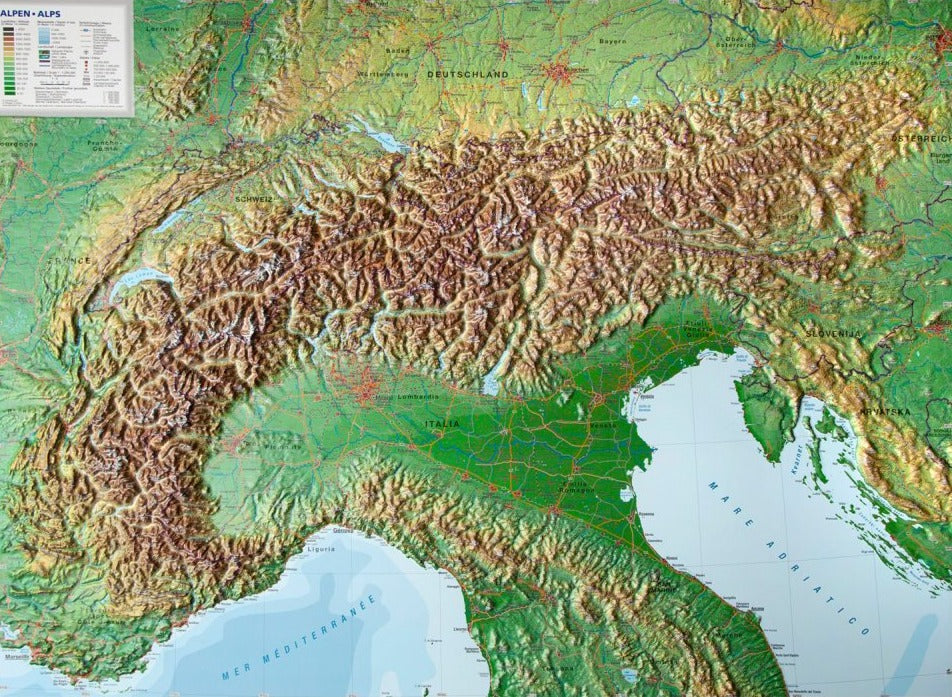
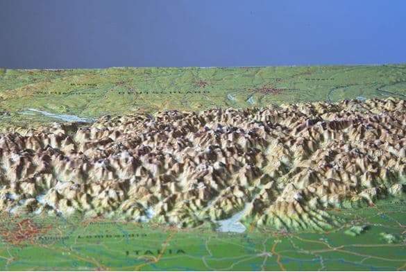
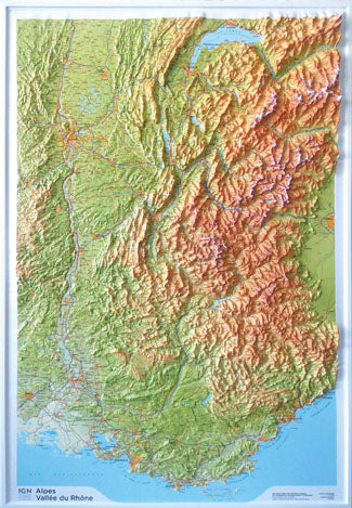
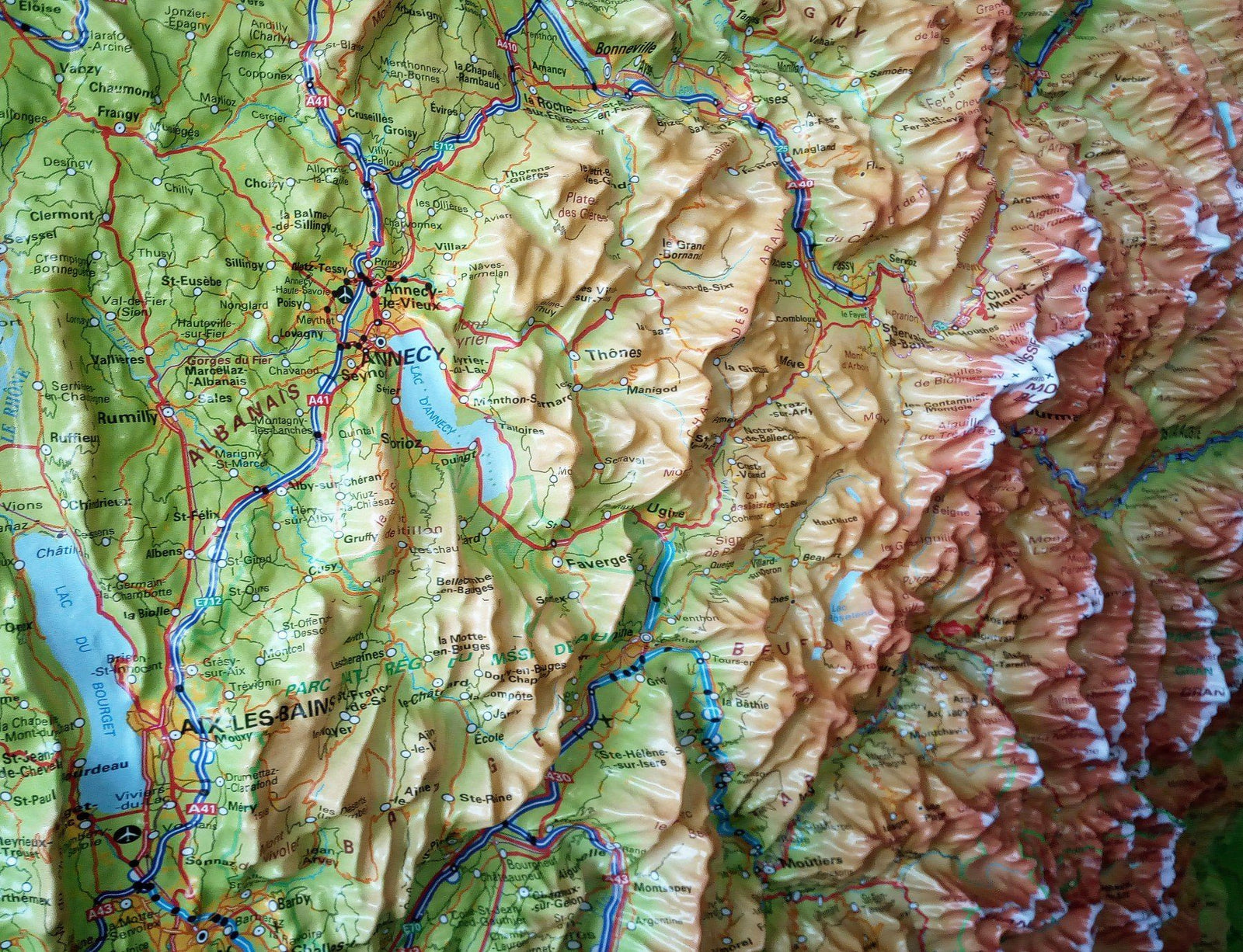
Panoramic map of the Alpine crossings by bike | Kompass
- Shipping within 24 working hours from our warehouse in France
- Shipping method and fees are shown at checkout
- Free returns (*)
- Real-time stock levels
- Low stock - 1 item left
Over 19,500 maps 🗺️ and travel guides, hiking maps, posters, globes, and décor items in stock!
Rated Excellent ⭐️ on Trustpilot — 9,000+ reviews from explorers and map lovers worldwide.
Explore the world, one map at a time 🗺️
Crossing the Alps by bike is becoming increasingly accessible thanks to the rise of developed cycle paths , electric bikes and gravel bikes . This hand-drawn panoramic map pays tribute to this unique spirit of adventure.
Illustrated panoramic view of the Alps , showing relief, distances and major landscapes
10 iconic Alpine crossing routes (Transalp)
10 major Alpine passes you can't miss
Detailed descriptions on the back for each route and each pass
Classic routes such as the Alpe-Adria-Radweg , but also new, original suggestions
Writable map: you can note , trace or mark the routes you have already taken
Ideal as a planning tool or decorative wall keepsake
Allows you to better understand the distances and topography of an Alpine crossing
ISBN/EAN : 9783991544845
Publication date: 2025
Scale: 1/2,000,000 (1cm = 20km)
Printed sides: both sides
Folded dimensions: 11 x 19cm
Language(s): German
Weight:
83 g
The exclusive newsletter for travel and discovery enthusiasts!