Guide de randonnées (en anglais) - Thames Valley, Chilterns (Angleterre) | Ordnance Survey - Pathfinder guides guide de randonnée Ordnance Survey Default Title

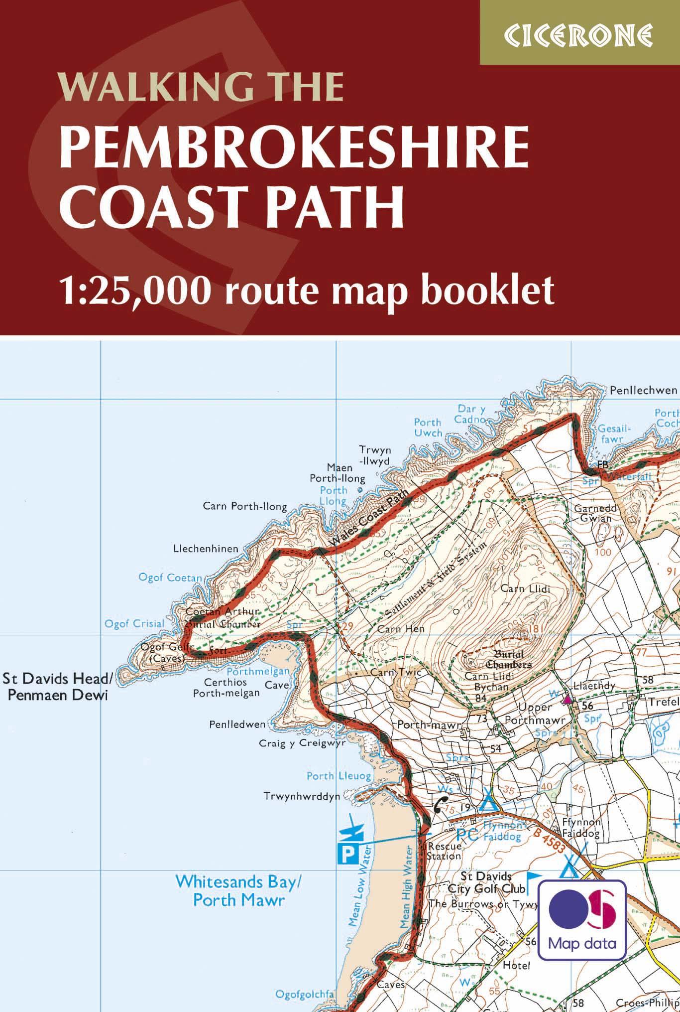
Hiking guide - Thames Valley, Chilterns (England) | Ordnance Survey - Pathfinder Guides

Price
Regular price 13700 kr
Regular price Sale price 13700 kr
/
  • Shipping within 24 working hours from our warehouse in France
  • Shipping method and fees are shown at checkout
  • Free returns (*)
  • Real-time stock levels
  • Low stock - 1 item left
  • Backordered, shipping soon
Tax included.

Frequently bought together:

Chilterns are part of the long line of limestone hills that extend intermittently across the south and east of England. It is a region characterized by windows and dry valleys. These natural features are explored in the 28 routes offered in this Hiking guide.

The Thames Valley is responsible for history, from Windsor Castle at Richmond Park, passing through Runnymede Meadows, where Magna Carta was signed in 1215. All hikes, with a length of 4 to 18 km, understand A description and maps for each of them. Each hike is classified by difficulty and has been tested by experienced walkers. Itineraries go from simple walks to exhilarating hikes and allow you to discover some of the most beautiful sites and views of the region.


ISBN/EAN : 9780319090053
Publication date: 2016
Folded dimensions: 13.7 x 23.8cm
Language(s): English
Weight: 200 g