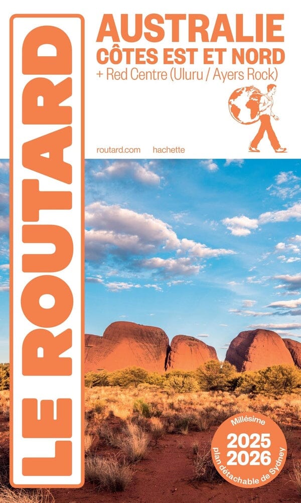
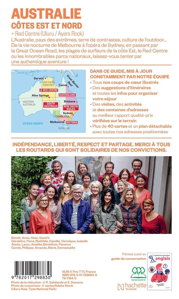
Road map - Red Center (Australia), Alice Springs to Uluru | Hema Maps

Price
Regular price 12200 kr
Regular price Sale price 12200 kr
/
  • Shipping within 24 working hours from our warehouse in France
  • Shipping method and fees are shown at checkout
  • Free returns (*)
  • Real-time stock levels
  • In stock, ready to ship
  • Backordered, shipping soon
Tax included.

Frequently bought together:

Regional map of the Center - Red (Australia), covering the region between Alice Springs and Uluru. This impermeable regional red center map is ideal for discovering the typical Australian landscape. The main map covers Alice Springs, including Uluru, Kata Tjuta, West MacDonnell and Watarrka National Park.

It also contains additional permits information, useful contacts and the Historical context surrounding some of the most popular tourist destinations in the region.


ISBN/EAN : 9781925625745
Publication date: 2019
Scale: 1/550,000 (1cm=5.5km)
Printed sides: both sides
Folded dimensions: 25 x 14 x 0.3cm
Unfolded dimensions: 84 x 50cm
Language(s): English
Weight: 53 g