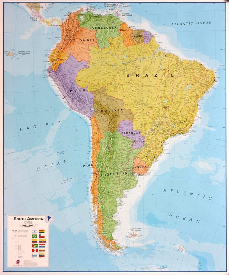
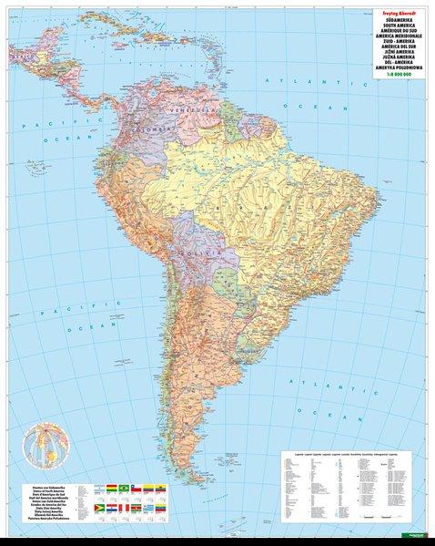
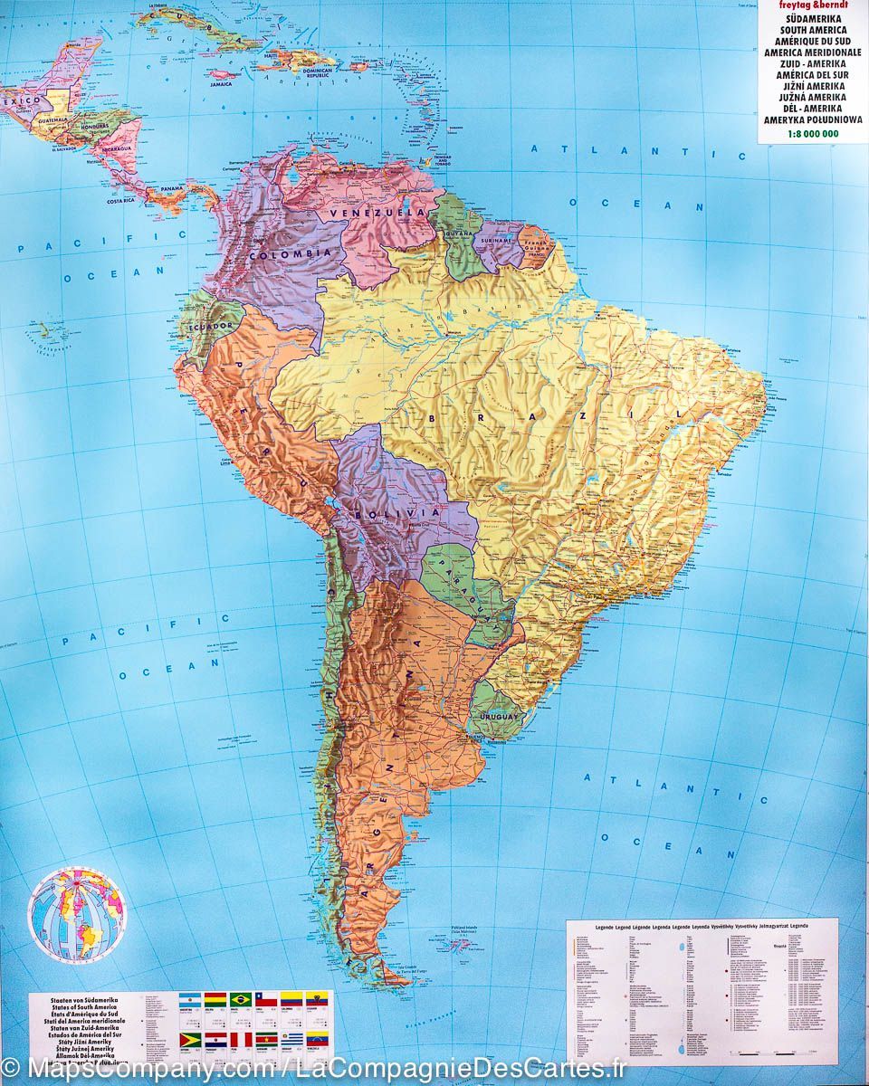
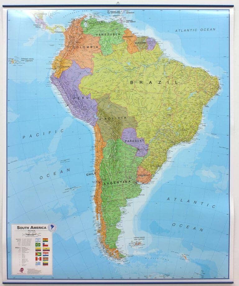
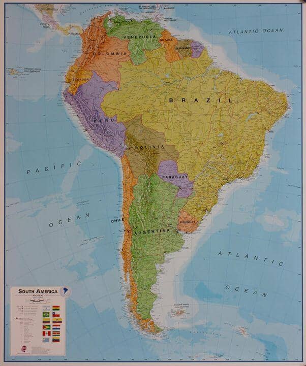
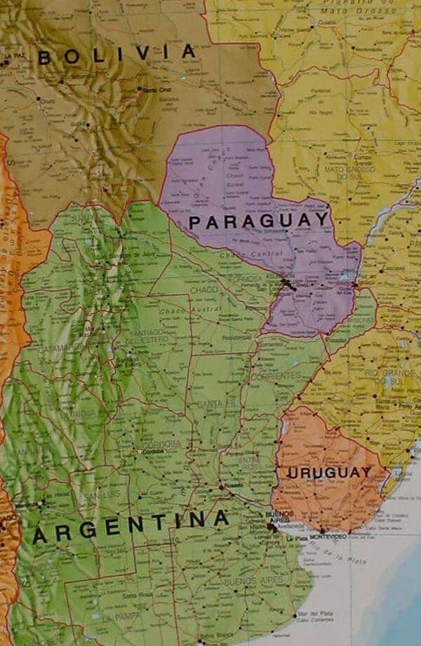
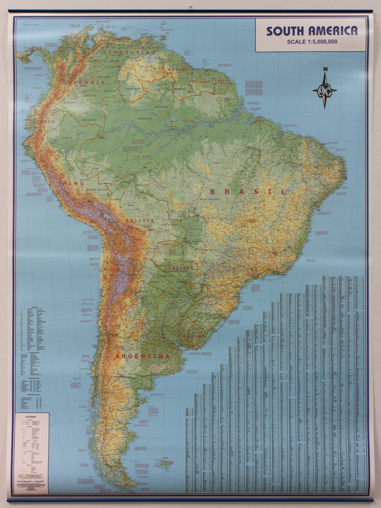
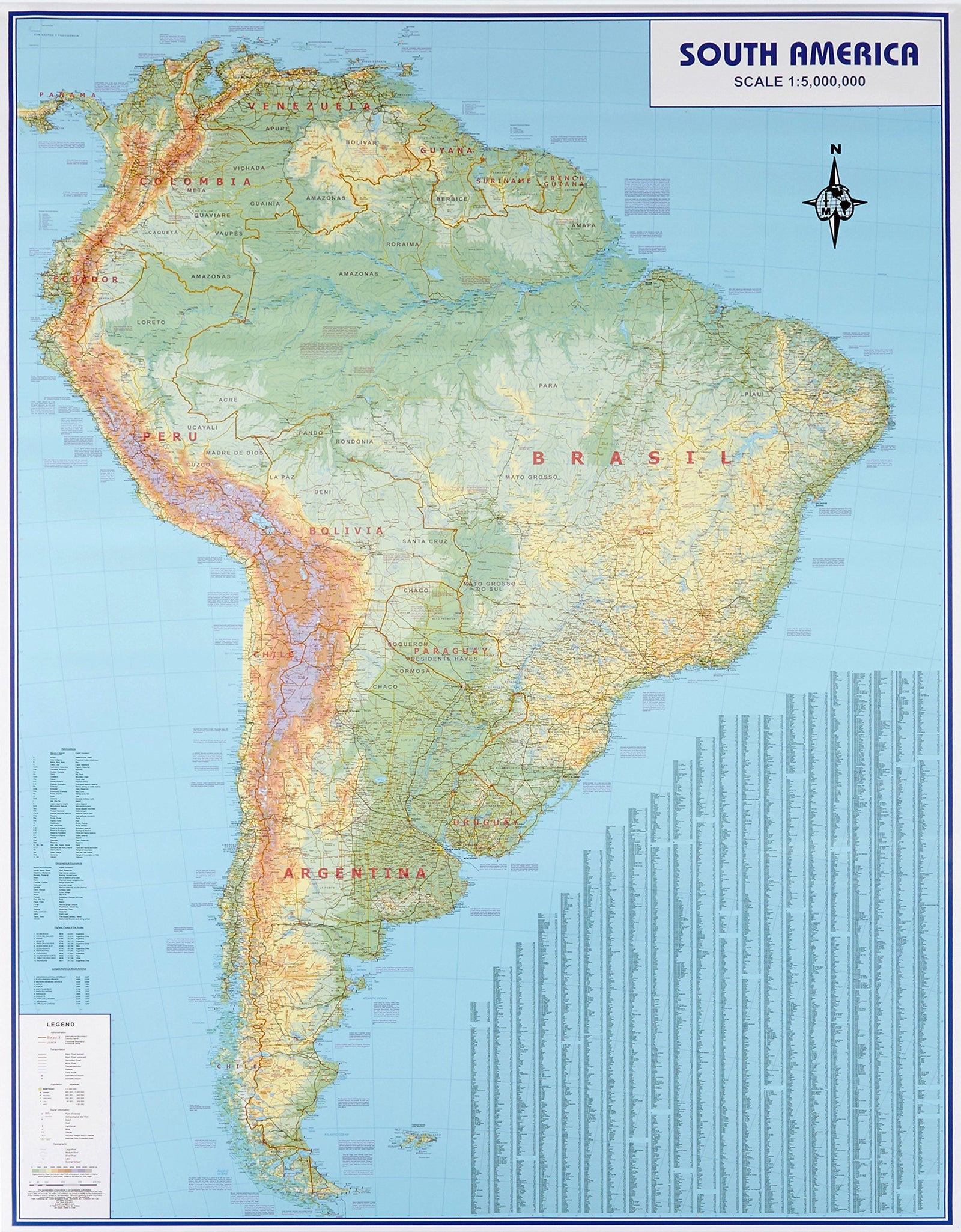
Wall map - South America political - 120 x 100 cm | Maps International
- Shipping within 24 working hours from our warehouse in France
- Shipping method and fees are shown at checkout
- Real-time inventory
- In stock, ready to ship
Over 19,500 maps 🗺️ and travel guides, hiking maps, posters, globes, and décor items in stock!
Rated Excellent ⭐️ on Trustpilot — 9,000+ reviews from explorers and map lovers worldwide.
Explore the world, one map at a time 🗺️
Laminated wall map of South America political (in English). This South America political wall map shows the whole continent from Venezuela and the Grenadine Islands down to Argentina and the most Southerly points of Chile and the Falkland Islands. This political wall map of South America features countries marked in different colours, with international borders clearly shown. The map's key shows a panel of flags from each of the countries displayed in this continent map. This political wall map of South America also contains population detail, capital cities and all the major towns and cities in this continent
Dimensions : 120 x 100 cm .
ISBN / EAN : 9781903030868
Date de publication : 2024
Echelle : 1/7,000,000 (1cm=70km)
Impression: front
Dimensions déplié(e) : 120x100cm
Langue : English
Poids :
358 g
Parfait
Trés belle carte emballée soigneusement.
Très beau produit, bonne qualité de papier, et très bien emballé pour la livraison.
Très belle carte bien détaillée. Emballage double. Reçue en très bon etat
Ma carte était emballée dans une boite trop courte et ses bordures étaient abimées !
Conception appropriée pour matérialiser un voyage
The exclusive newsletter for travel and discovery enthusiasts!