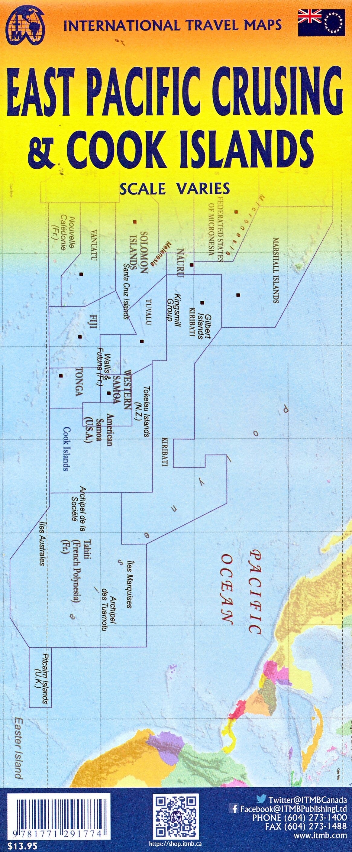
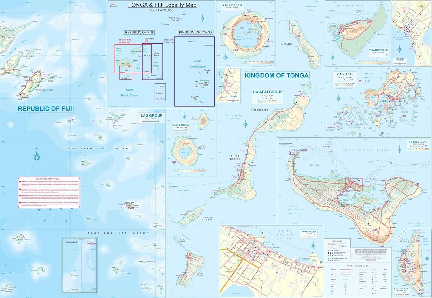
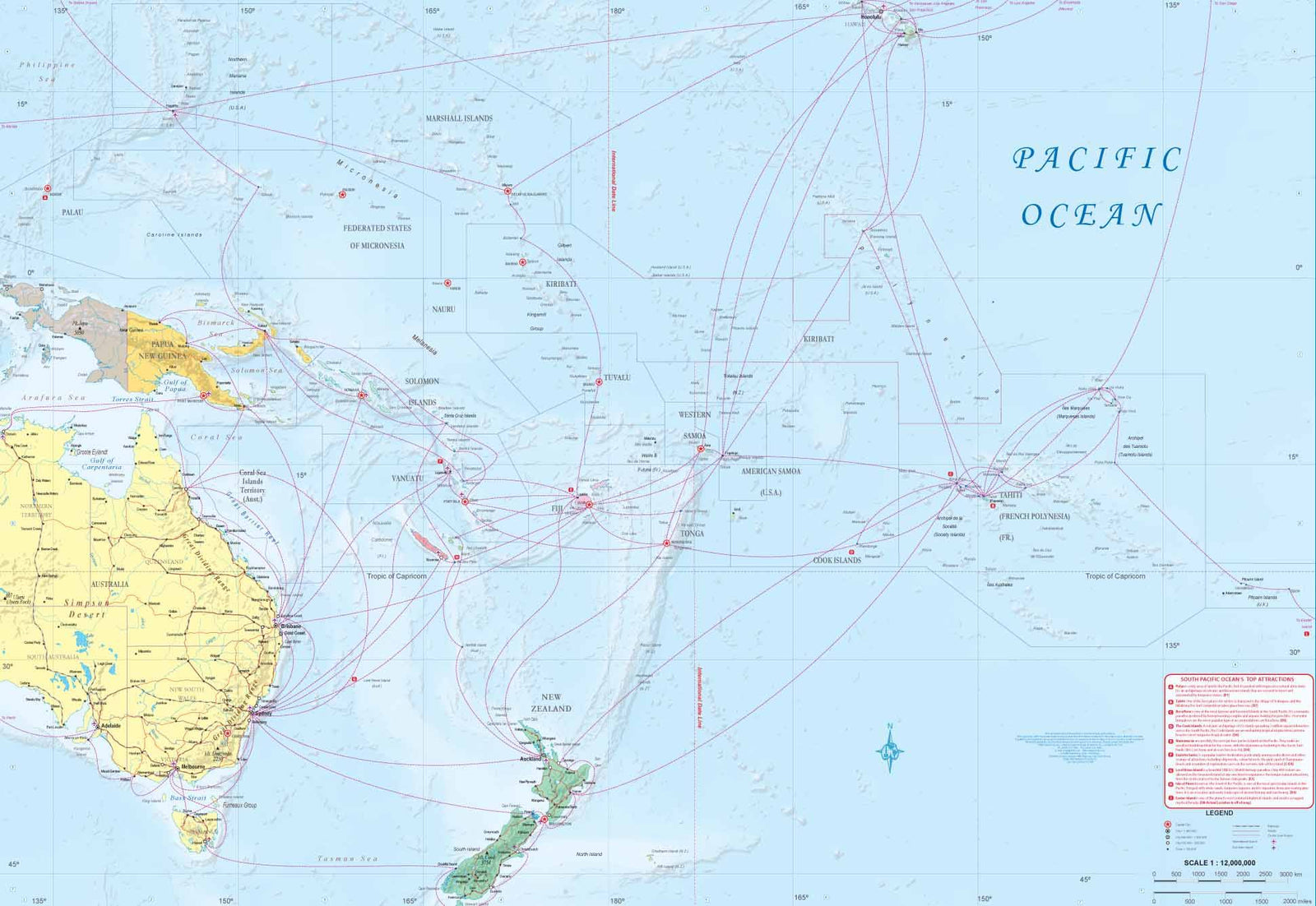
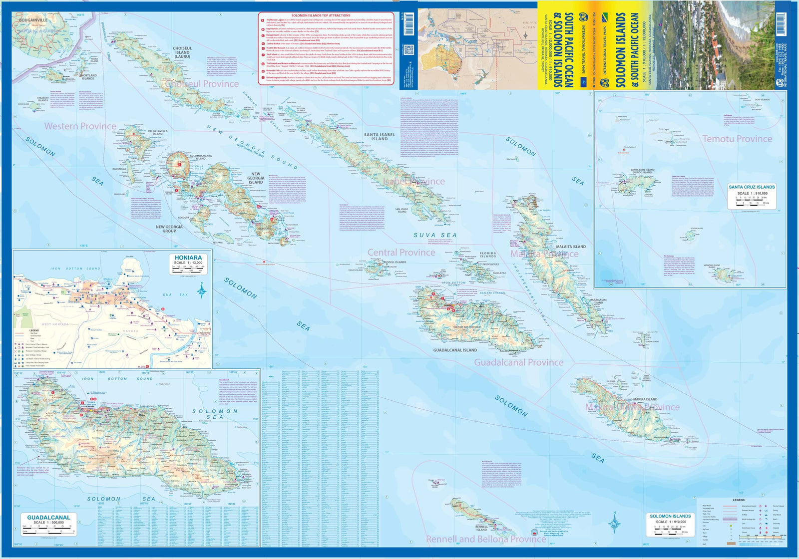
Travel map - Tahiti, Society Islands (French Polynesia) & Cook Islands | ITM
- Shipping within 24 working hours from our warehouse in France
- Shipping method and fees are shown at checkout
- Free returns (*)
- Real-time stock levels
- In stock, ready to ship
Over 19,500 maps 🗺️ and travel guides, hiking maps, posters, globes, and décor items in stock!
Rated Excellent ⭐️ on Trustpilot — 9,000+ reviews from explorers and map lovers worldwide.
Explore the world, one map at a time 🗺️
Road map of the island of Tahiti and the islands of society (French Polynesia) published by ITM. The map presents Tahiti and Moorea as well as other islands on separate panels: Bora Bora, Tahaa with Raiatea, Hu Ahine, Tupai, Maiao and Maupiti. In the ink of this detailed map, a Papeete plan and a small map of the company's archipelago and wind islands. p>
The Cook Islands tend to be smaller and less mountainous. The main island is Raratonga and there is also a map in Avarua inset, the country's capital. The other tourist islands are Aitutaki, mangaia and atiu. P>
Relief mapping, indication of hiking trails, points of interest, maritime links between islands, outdoor activities, plus a cities index. p>
ISBN/EAN : 9781771291774
Publication date: 2022
Scale: 1/100,000 (1cm=1km)
Printed sides: front
Folded dimensions: 24.6 x 10.3 x 0.5cm
Unfolded dimensions: 100 x 69cm
Language(s): English
Weight:
52 g
Convient totalement.
Bonne qualité, livraison rapide parfait
très bien
Manque les distances sur le réseau routier ainsi que les P.K. , indications utiles pour la planification du voyage
qualité parfaite et délai de réception ultra rapide
The exclusive newsletter for travel and discovery enthusiasts!