Travel map - Scotland: Extreme North & Islands | ITM
- Shipping within 24 working hours from our warehouse in France
- Shipping method and fees are shown at checkout
- Free returns (*)
- Real-time stock levels
- In stock, ready to ship
Over 19,500 maps 🗺️ and travel guides, hiking maps, posters, globes, and décor items in stock!
Over 19,500 maps 🗺️ and travel guides, hiking maps, posters, globes, and décor items in stock!
Rated Excellent ⭐️ on Trustpilot — 9,000+ reviews from explorers and map lovers worldwide.
Rated Excellent ⭐️ on Trustpilot — 9,000+ reviews from explorers and map lovers worldwide.
Explore the world, one map at a time 🗺️
Explore the world, one map at a time 🗺️
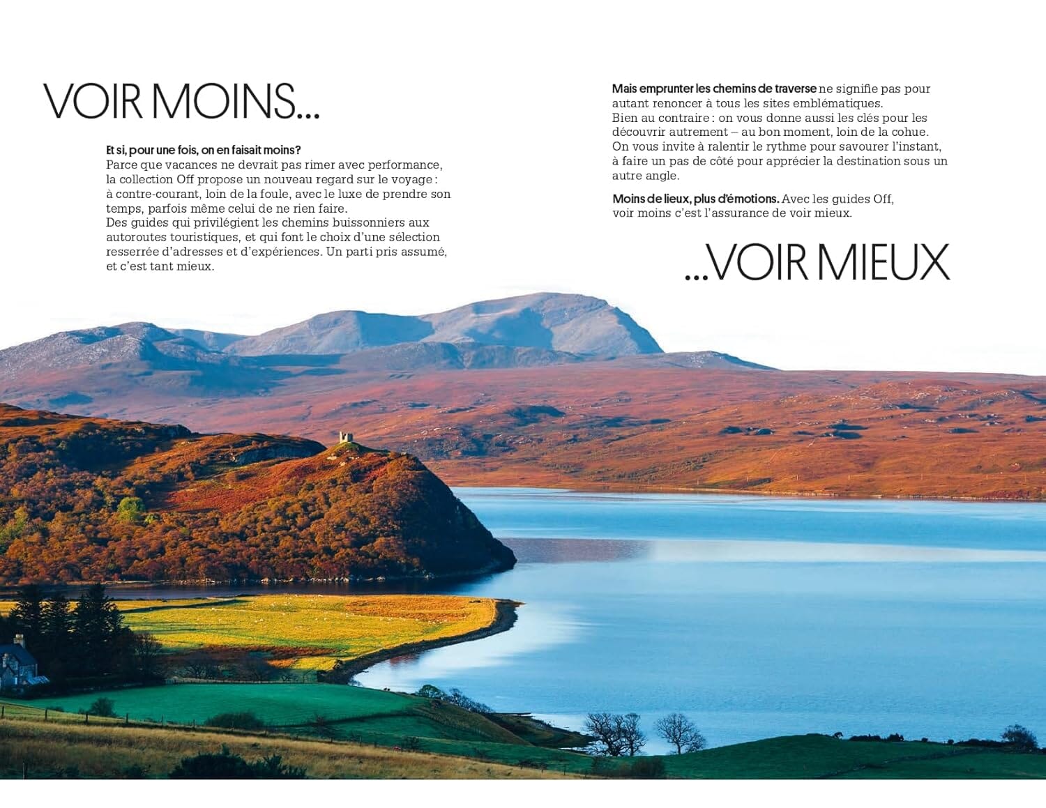
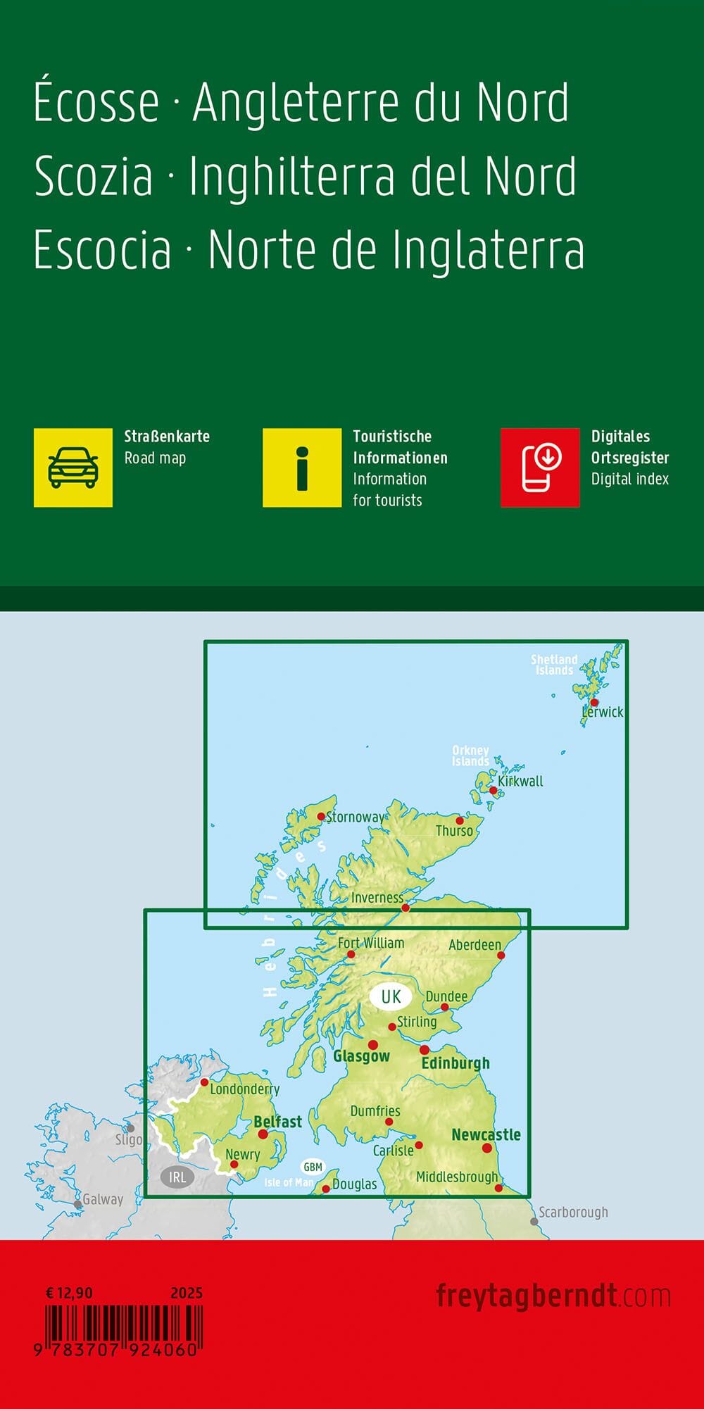
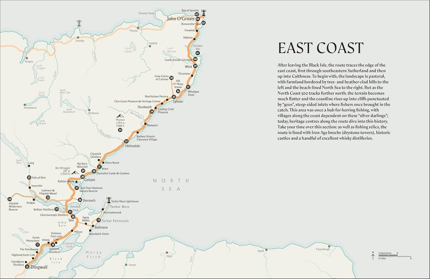
Detailed map of the extreme north of Scotland and isolated archipelags from the Western Islands, Orkney and Shetland Islands. Relief mapping, indication of national and provincial parks and other points of interest. The roads and the railways are indicated.
This double - sided map covers the zone ranging from the Loch Lochy Invergarry to John O'Groats (from southern north), and the Western Islands of Uist and Lewis in Moray Firth and Craigellachia in the East. The back side resumes part of the front to extend the more to the east cover to include Aberdeen and north to include the wonderful island chains collectively known as Shetland and Orkney.
ISBN/EAN : 9781771297233
Publication date: 2020
Scale: 1/300,000 (1cm=3km)
Printed sides: both sides
Folded dimensions: 24.6 x 10.3 x 0.5cm
Unfolded dimensions: 100 x 68cm
Language(s): English
Weight:
76 g
The exclusive newsletter for travel and discovery enthusiasts!


