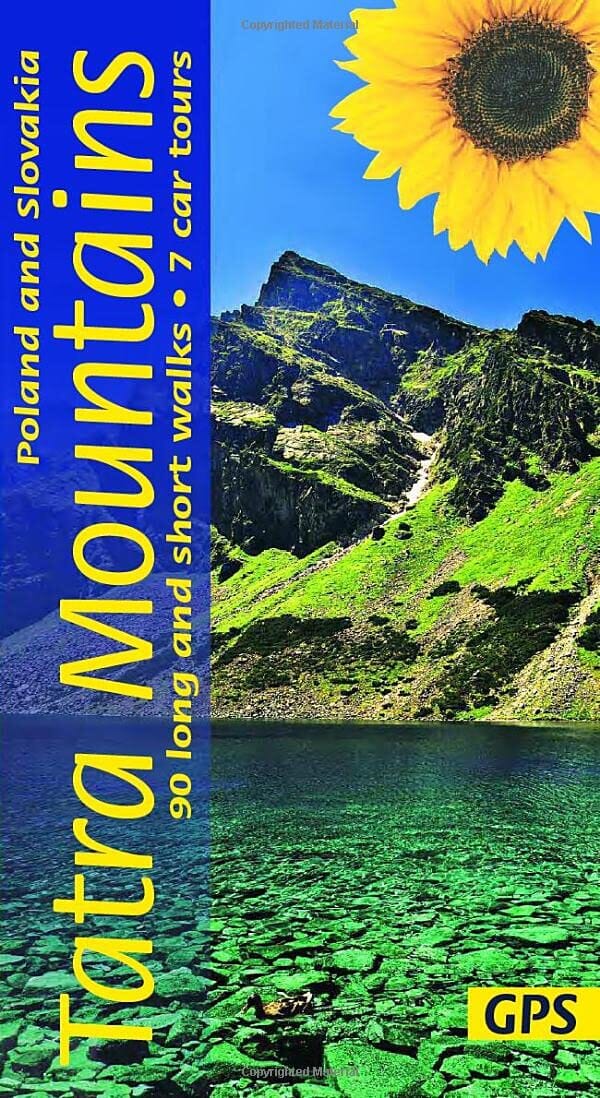
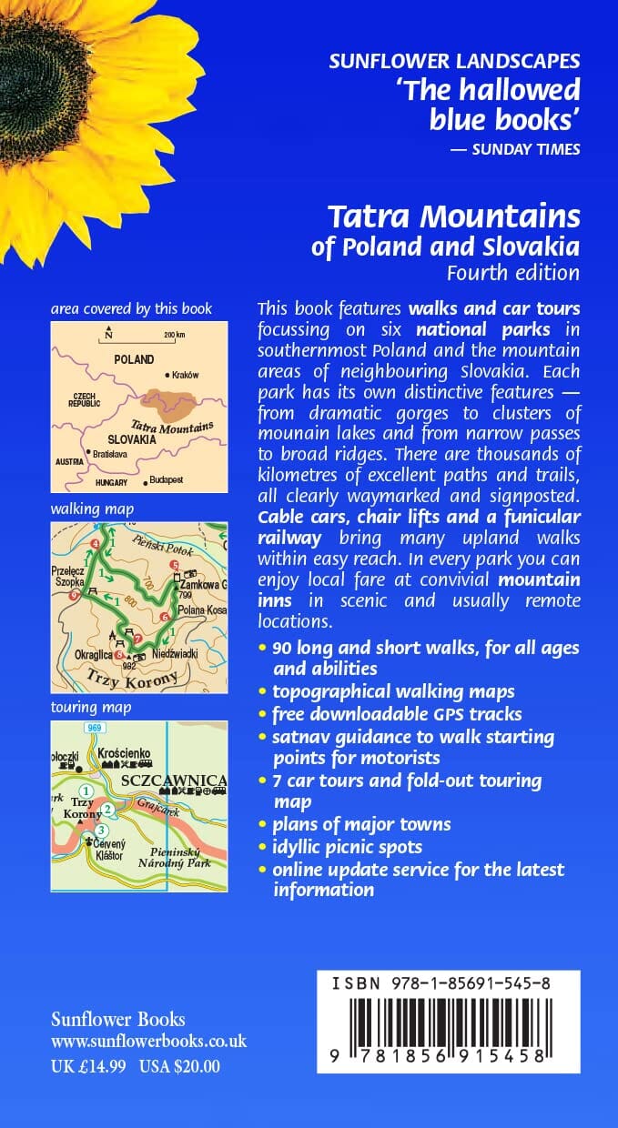
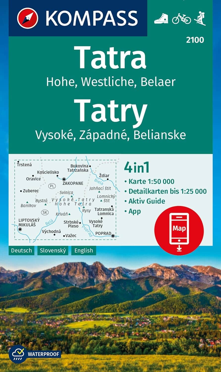
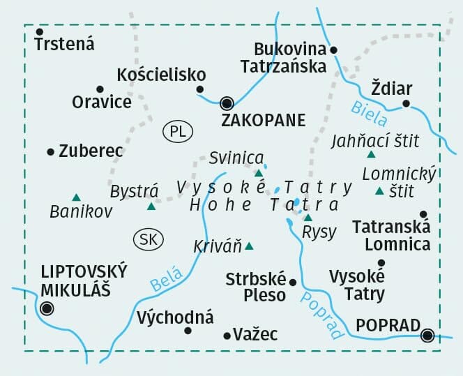
Hiking map no. 702 - Western Tatras (Slovakia) | Shocart
- Shipping within 24 working hours from our warehouse in France
- Delivery costs calculated instantly in the basket
- Free returns (*)
- Real-time inventory
- Low stock - 1 item left
Over 19,500 maps 🗺️ and travel guides, hiking maps, posters, globes, and decor in stock!
MapsCompany becomes Cartovia ✨ We tell you everything here 🗺️
Trusted by map lovers and explorers 🌏 in 80+ countries since 2010 ✅
Detailed hiking map created by SHOCart, from their popular 1:25,000 scale hiking map series. The map features detailed topography, represented by distinctive colors, making it easy to read.
Coverage Locations / Mountains / Lakes: Zuberec, Banikov, Oravice, Volovec, Podbanské
Main features:
Scale 1:25,000 – for high accuracy in the field
Clear and legible mapping – thanks to enlarged typography
Double-sided card :
Front : map section
Back : Index and useful tourist information
Comes with a protective pouch
Walking times between points are indicated (tourist mileage).
GPS compatible – WGS84 coordinate grid
Marked hiking trails and cycling routes
Classification of tourist sites according to their attractiveness (star system)
ISBN/EAN : 9788072247769
Publication date: 2018
Scale: 1/25,000 (1cm=250m)
Printed sides: both sides
Folded dimensions: 12 x 20 cm
Language(s): English, German, Slovak, Polish
Weight:
100 g
The exclusive newsletter for travel and discovery enthusiasts!