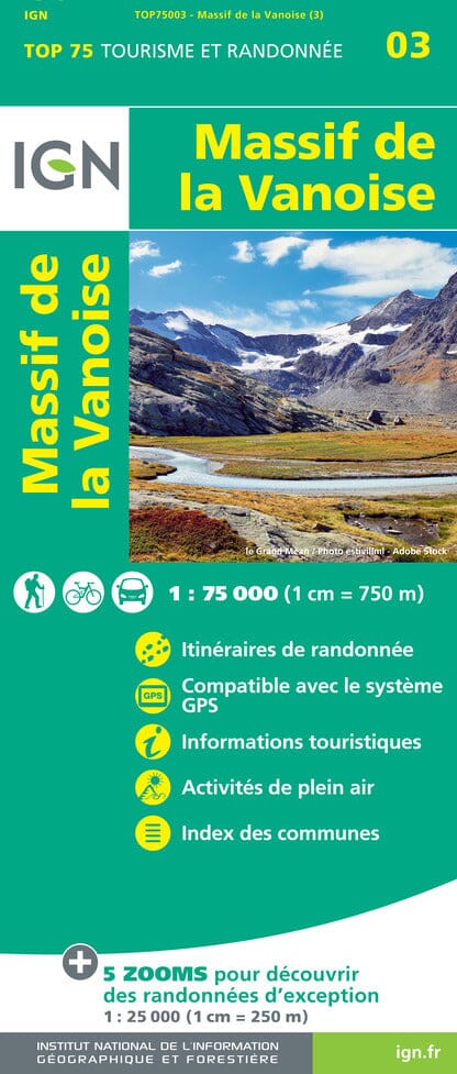
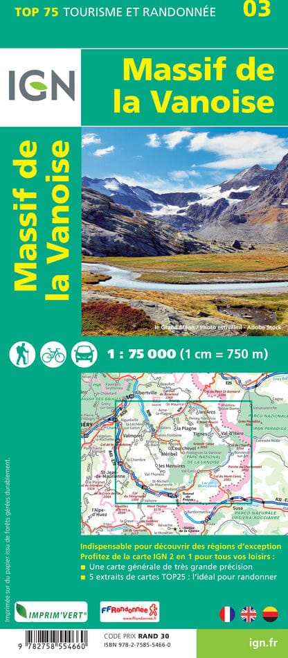
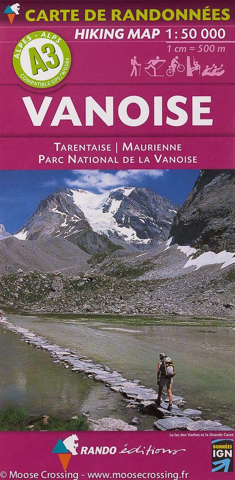
TOP 75 Map No. 3 - Vanoise Massif | IGN

Price
Regular price 7500 kr
Regular price 000 kr Sale price 7500 kr
/
  • Shipping within 24 working hours from our warehouse in France
  • Shipping method and fees are shown at checkout
  • Free returns (*)
  • Real-time stock levels
  • In stock, ready to ship
  • Backordered, shipping soon
Tax included.

Frequently bought together:

Top 75 Topographic map of the Vanoise massif published by IGN. Scale 1/75 000 (1 cm = 750 m). This detailed map covers the region southeast of Albertville, around La Plagne, Courchevel, Méribel and Menuires with the Vanoise Park. Level curves, detailed legend and indication of hiking trails. Index of cities. This map includes 5 zooms on a scale 1 / 25,000 to discover exceptional hikes (Mont Jovet, Champagny - en - Vanoise, Point of Scale, Lake La Plagne, Col de Chavière).


ISBN/EAN : 9782758554660
Publication date: 2023
Scale: 1/75,000 (1cm=750m) & 1/25,000 (1cm=250m)
Printed sides: front
Folded dimensions: 24.6 x 11.2 x 0.7cm
Unfolded dimensions: 110x100cm
Language(s): French, English, German
Weight: 89 g