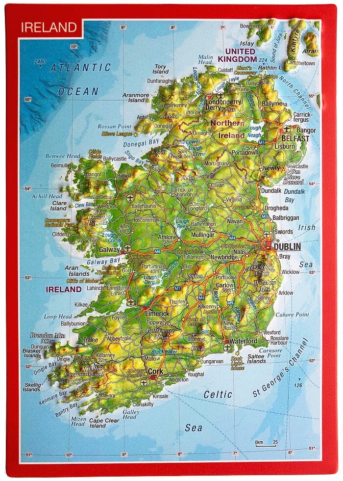
Spiral road atlas - Ireland | Ordnance Survey
- Shipping within 24 working hours from our warehouse in France
- Delivery costs calculated instantly in the basket
- Free returns (*)
- Real-time inventory
- In stock, ready to ship
Over 19,500 maps 🗺️ and travel guides, hiking maps, posters, globes, and decor in stock!
Over 19,500 maps 🗺️ and travel guides, hiking maps, posters, globes, and decor in stock!
MapsCompany becomes Cartovia ✨ We tell you everything here 🗺️
MapsCompany becomes Cartovia ✨ We tell you everything here 🗺️
Trusted by map lovers and explorers 🌏 in 80+ countries since 2010 ✅
Trusted by map lovers and explorers 🌏 in 80+ countries since 2010 ✅
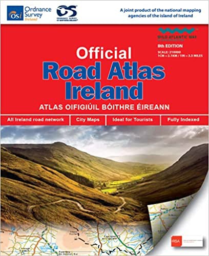
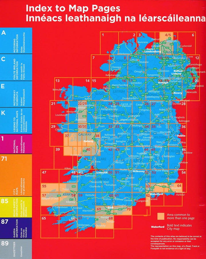
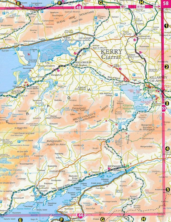
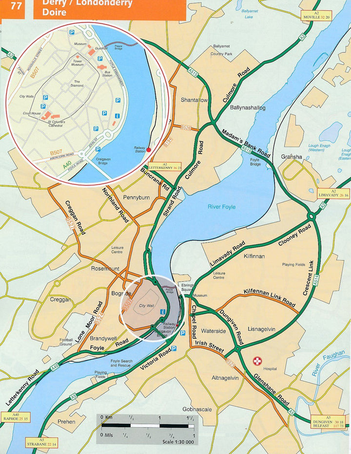
Detailed atlas of Ireland including all the necessary tourist information, distances table, city plans and indexes.
Spiral binding.
This atlas contains detailed Road maps of all Ireland. In addition, it also contains city plans, a distribution table, a complete legend and the location of each Union of Ireland golf course.
ISBN/EAN : 9781912140473
Publication date: 2021
Pagination: 120
Scale: 1/210,000 (1cm=2.1km)
Folded dimensions: 26.8 x 22.8 x 1.3cm
Language(s): English
Weight:
449 g
Bon produit très pratique
Livraison très rapide. Excellent produit, pratique à utiliser.
Conforme à mes attentes.
Plan de villes un peu succint. Manque lexique rues
L'atlas de carte est conforme à mes attentes
The exclusive newsletter for travel and discovery enthusiasts!
