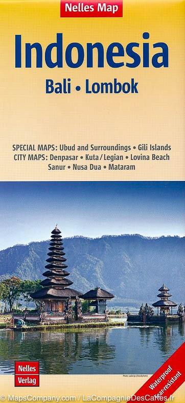
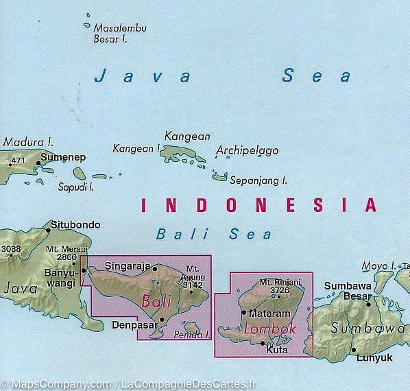
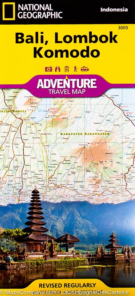
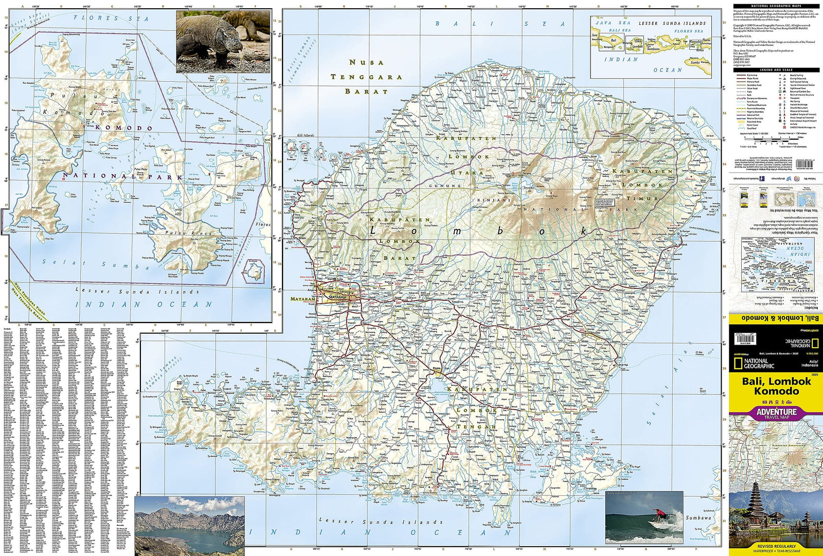
Road map of the Bali Islands and Lombok (Indonesia) published by Nelles Map. In an inset, the plans of Ubud and its surroundings and Gili islands. Also included with this detailed map, the city center plans of Denpasar, Kuta / Legian, Sanur, Nusa Dua, Mataram and Lovina Beach. Mapping the relief and indication of points of interest.
This map of Indonesia is waterproof and resistant to tearing. Scale 1/180 000 (1 cm = 1.8 km).
ISBN/EAN : 9783865745095
Publication date: 2018
Scale: 1/180,000 (1cm=1.8km)
Printed sides: both sides
Folded dimensions: 12 x 25.5 x 0.7cm
Unfolded dimensions: 90 x 50cm
Language(s): French, English, German
Weight:
56 g


