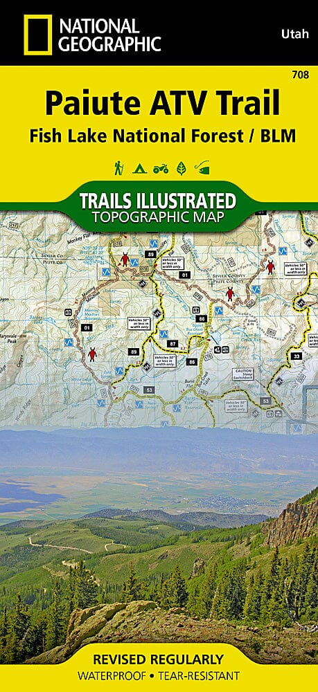
Paiute ATV Trail Hiking map (Fish Lake Nationak Forest, Utah) published by National Geographic. This topographic map includes Fishlake National Forest; the BLM - Sevier River Resource Area; Millard, Sevier, and Paiute Counties; the complete Paiute ATV Trail map with adjacent loop trails and town access maps; Fillmore; Richfield; Koosharem; Marysvale; Geenwich; and Circleville. Piute, Otter Creek, Rocky Ford, Koosharem, and Three Creeks reservoirs are also included. Trails, trailheads, points of interest, and campgrounds are included. Waterproof and tear-resistant. Scale: 1:90,000.
