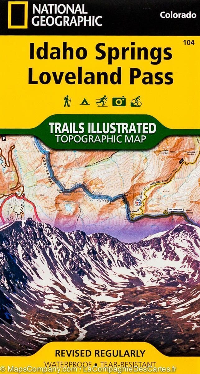
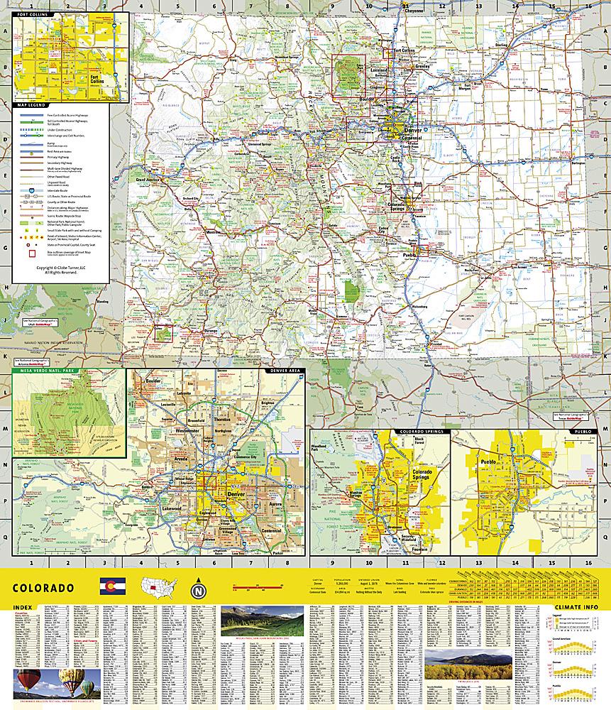
Springs / Loveland Pass (Colorado) hiking map published by National Geographic. This map includes the Arapaho and Pike National Forests, the Mount Evans Wilderness, Idaho Springs, Georgetown, Montezuma, Keystone, Clear Creek, Chicago Lakes, and Summit Lake; the map also covers Mount Evans, Mount Bierstadt, Grays and Torreys Peak; and Loveland, Webster, Juniper, and Guanella Passes. Ski areas: Arapaho Basin, Loveland, and Keystone. Scale 1:40,680. Trails, trailheads, points of interest, and campgrounds are included. Waterproof and tear-resistant.
