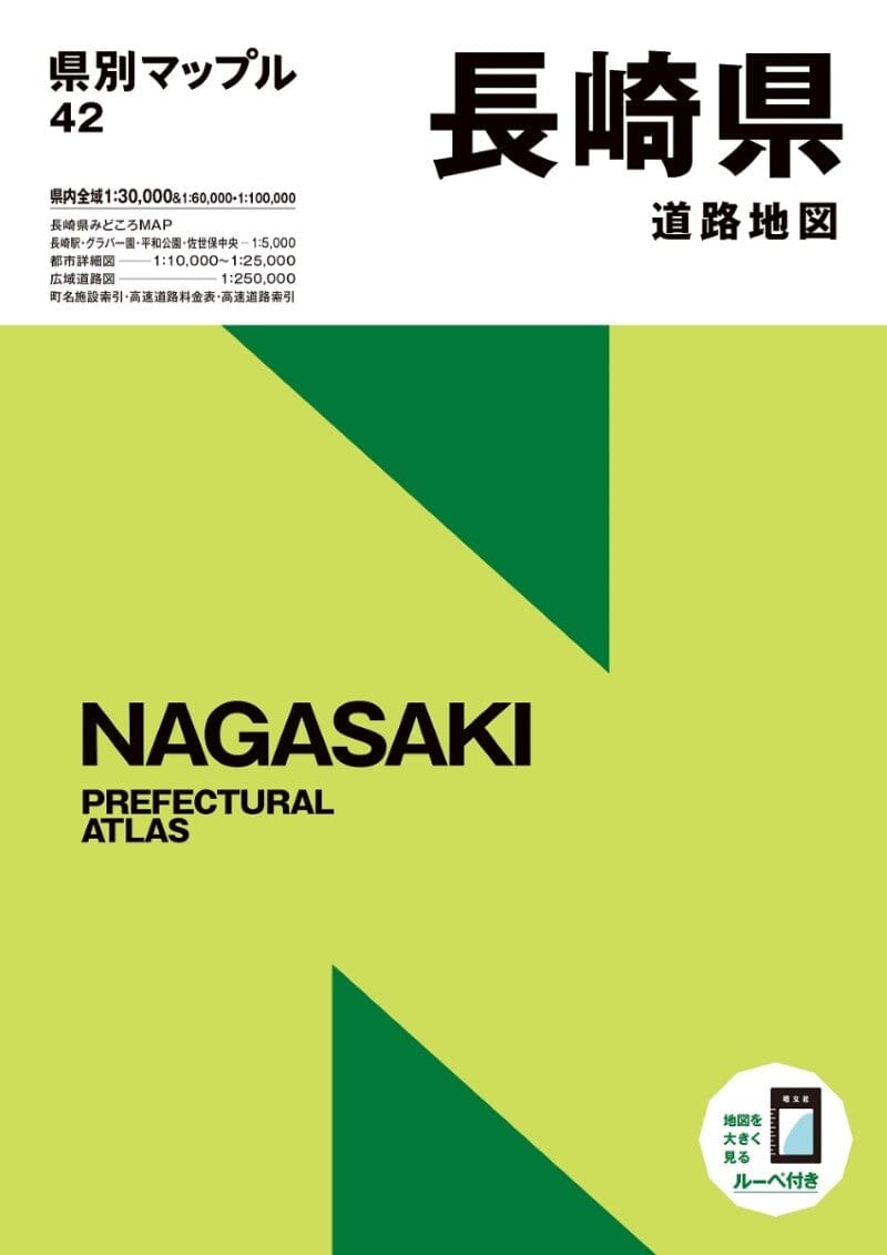
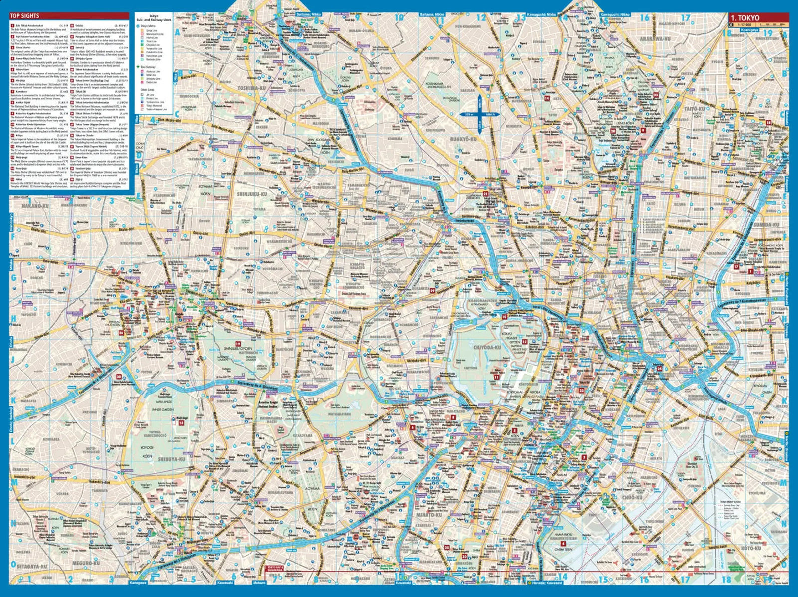
"Prefecture Atlas" is a versatile road atlas that covers 46 prefectures across Japan (excluding Hokkaido). It caters to a wide range of uses and is designed with thoughtful features for easy navigation. The map uses color codes for different types of roads, such as expressways and national roads, and highlights major buildings. Additionally, for clarity, place names and administrative divisions are color-coded and accompanied by furigana (pronunciation guides), making them more user-friendly compared to online maps or smartphone apps.
Main features:
Scale: The map offers a variety of scales, including detailed maps of Nagasaki and Sasebo City ranging from 1:5,000 to 1:15,000, detailed maps of major cities from 1:15,000 to 1:25,000, regional road maps covering the entire prefecture at scales of 1:30,000, 1:60,000, and 1:100,000, as well as regional road maps at 1:250,000.
Highlights: At the beginning of the atlas you will find a “Highlights Map” presenting the recommendations
