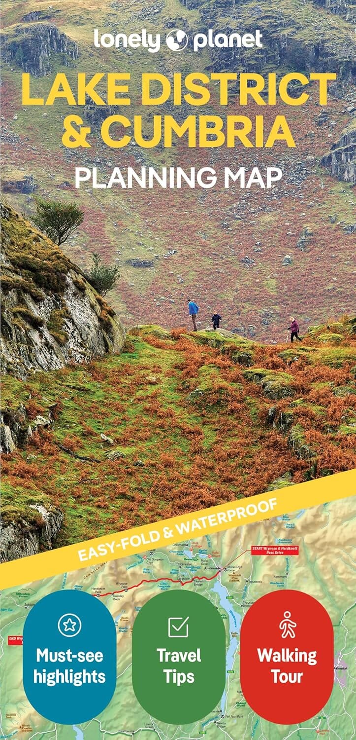
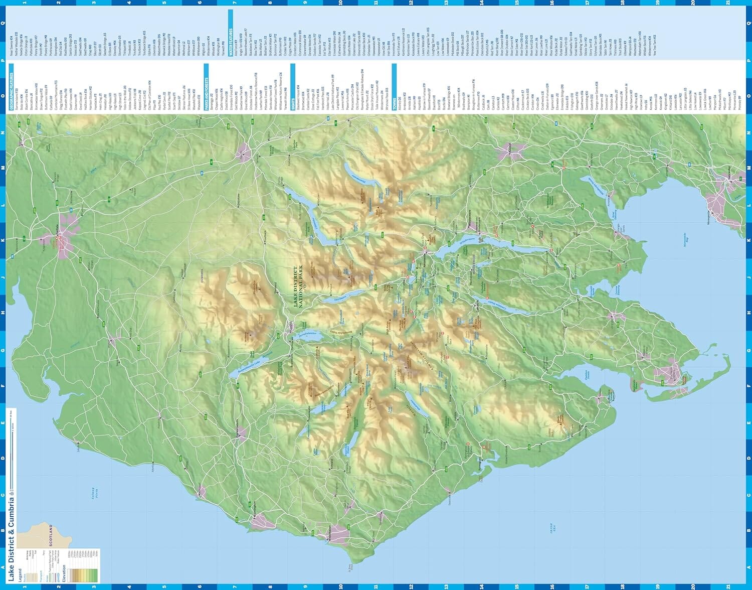
Hiking map published by Harvey Maps ideal for discovering the national trails of Great Britain.
Original description of the publisher:
entire route on one map
The Cumbria Way Is 112km (70 miles) from Ulverston to Carlisle. It passes through Coniston, Dungeon Ghyll, Keswick and Caldbeck.
The Route Passes Mostly Through Valleys Rather Than Over High Tops.
Tough, Light, Durable and 100% Waterproof
Includes Rights of Way
Road Clearly Marked
ISBN/EAN : 9781851374243
Publication date: 2023
Scale: 1/40,000 (1cm=400m)
Printed sides: front
Folded dimensions: 11.6 x 24.3cm
Unfolded dimensions: 69.6 x 97.2cm
Language(s): English
Weight:
70 g


