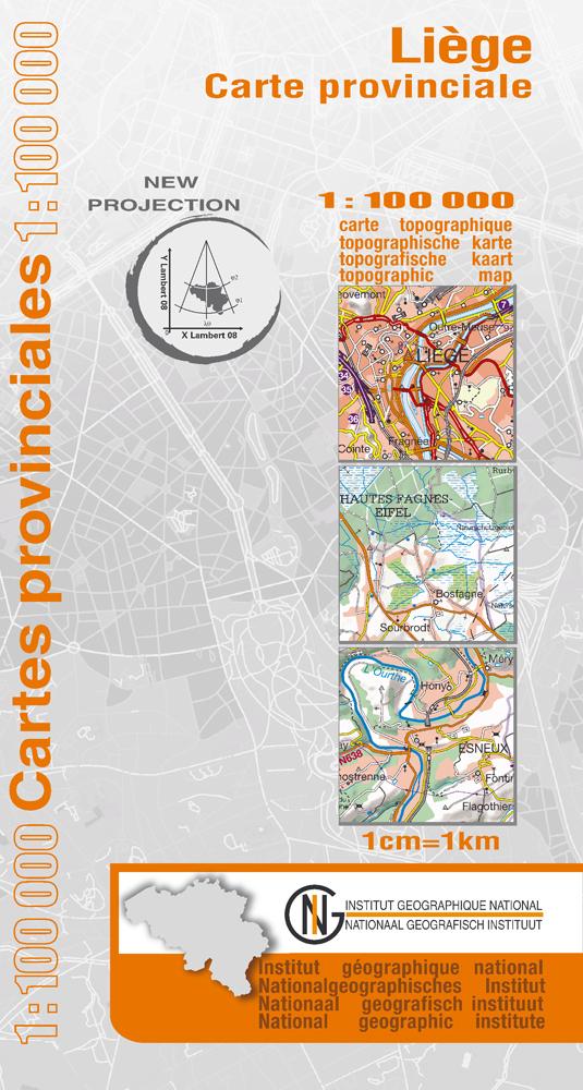
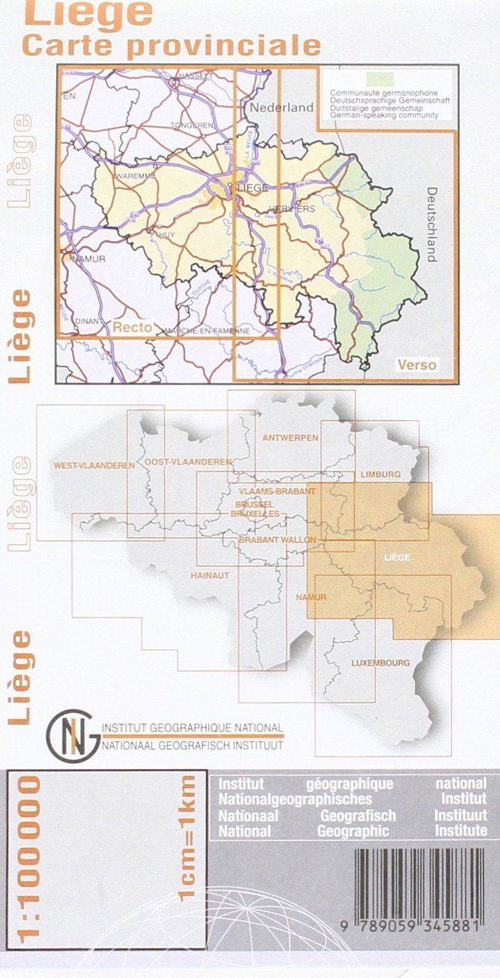
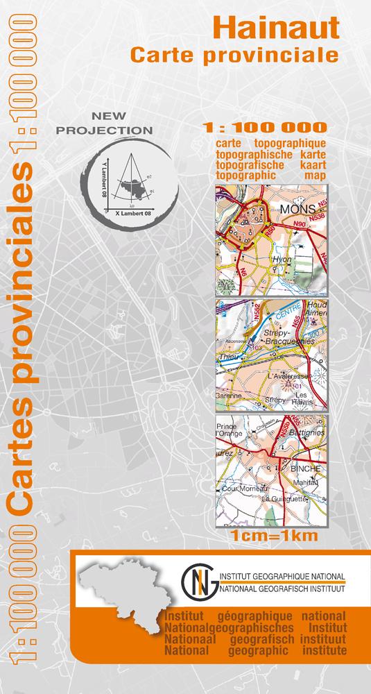
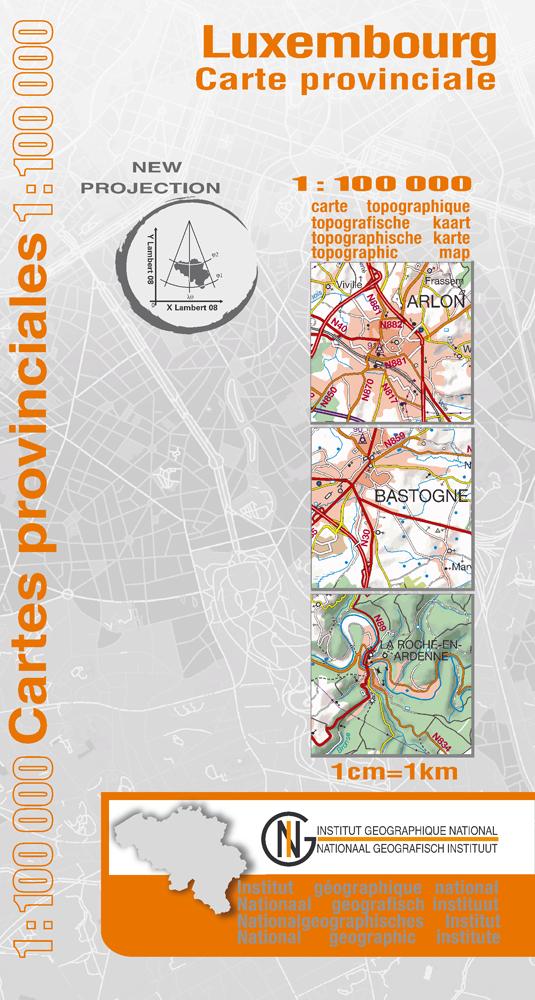
Topographic map No. 5 - Liège Province (Belgium) | IGN Belgium - 1/100 000
- Shipping within 24 working hours from our warehouse in France
- Shipping method and fees are shown at checkout
- Free returns (*)
- Real-time stock levels
- Low stock - 2 items left
Over 19,500 maps 🗺️ and travel guides, hiking maps, posters, globes, and décor items in stock!
Rated Excellent ⭐️ on Trustpilot — 9,000+ reviews from explorers and map lovers worldwide.
Explore the world, one map at a time 🗺️
Regional topographic map of the province of Liege 1/100 000 (1 cm = 1 km). p>
The frame and the occupation of the soil are represented by means of a division in zones. The relief was represented using sludge techniques and the map contains GPS coordinates. P>
This map, which is part of a series of 9 maps, is especially useful as a regional general map. It has a great wealth of topographical information. As a result, they are a valuable help for motorists and motorcyclists. Span> p>
ISBN/EAN : 9789059345881
Publication date: 2009
Scale: 1/100,000 (1cm=1km)
Printed sides: both sides
Folded dimensions: 13x24cm
Language(s): French, Flemish
Weight:
50 g
Aide en vue d'un voyage itinérant à vélo en complément des cartes points-noeuds. Existe-t-il des cartes plus récentes que l'année 2009 ?
The exclusive newsletter for travel and discovery enthusiasts!