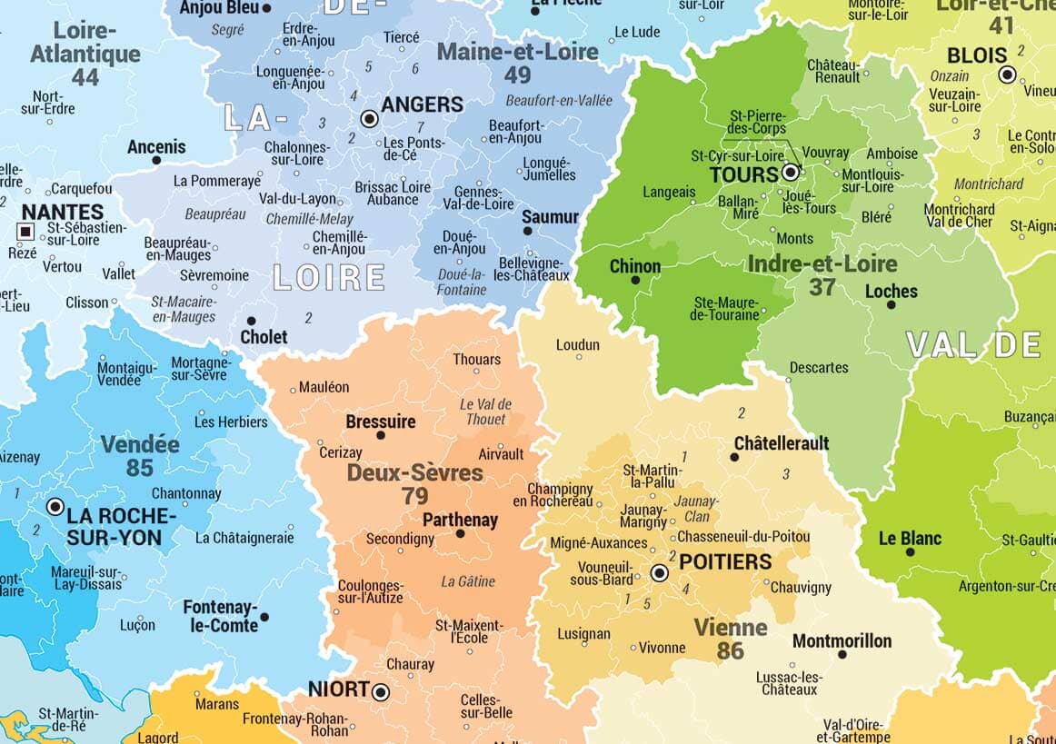
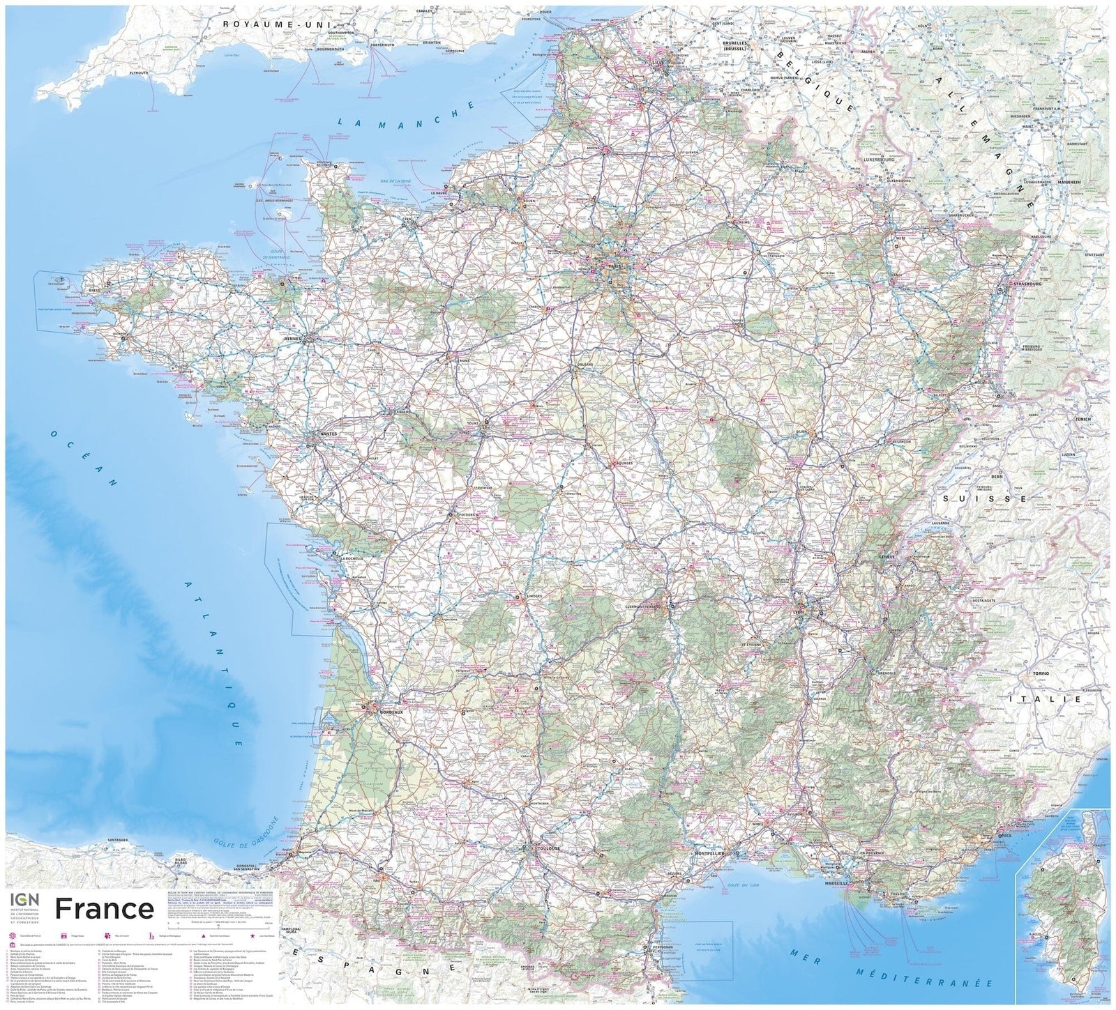
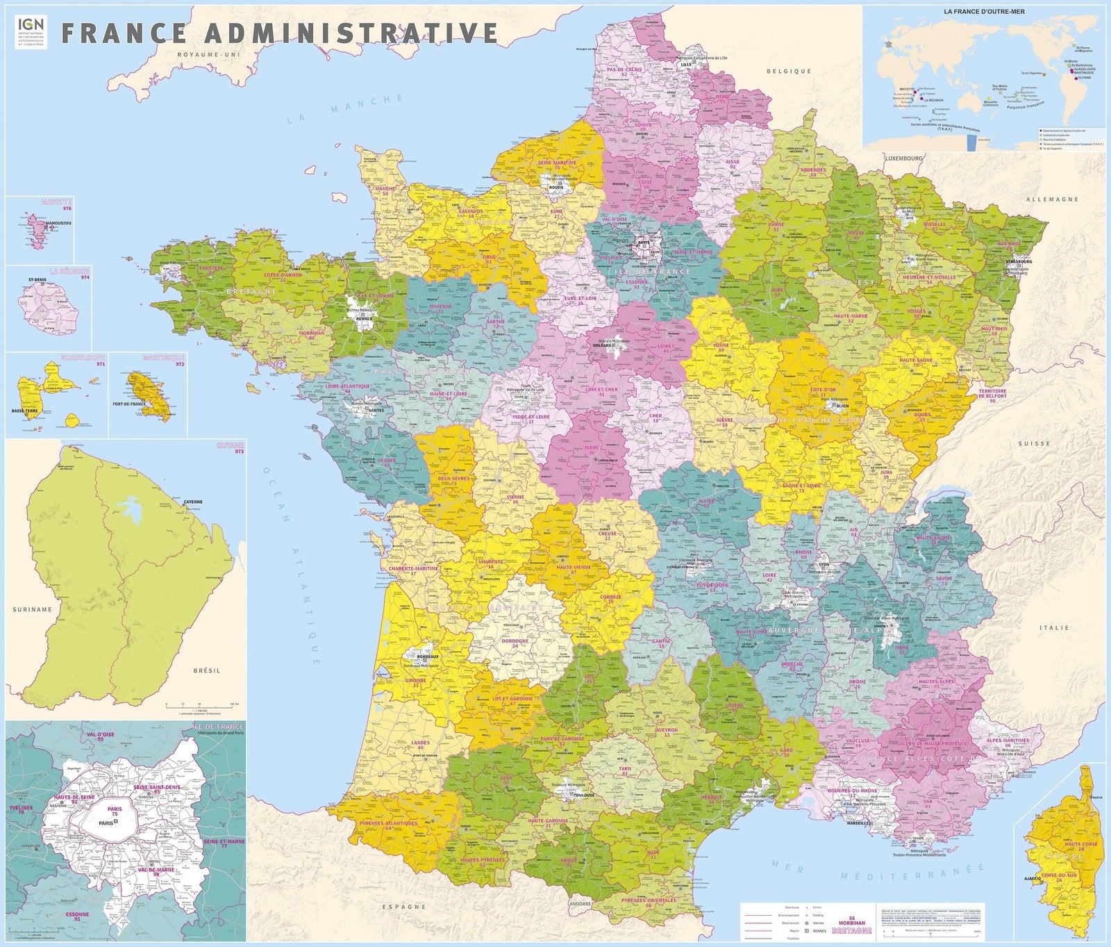
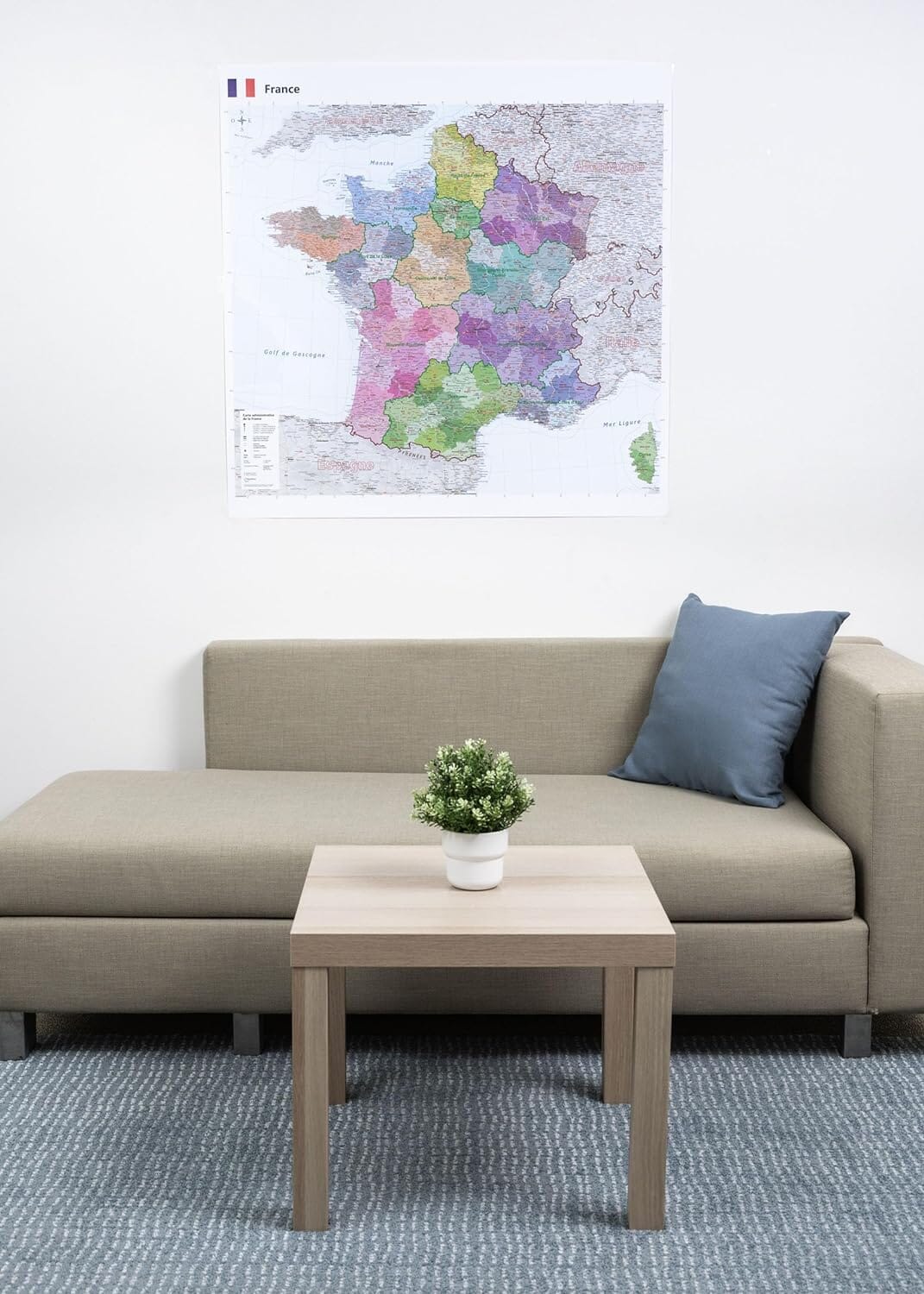
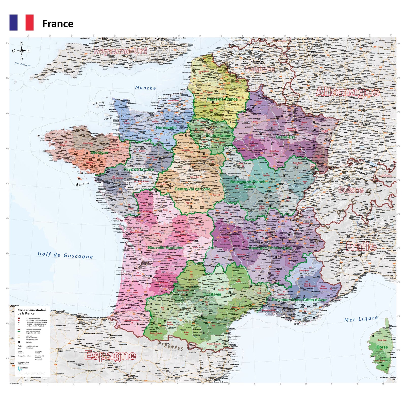
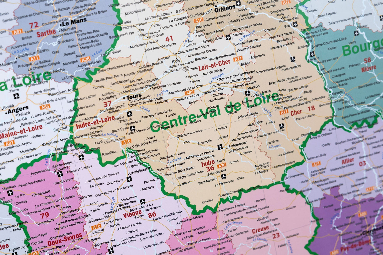
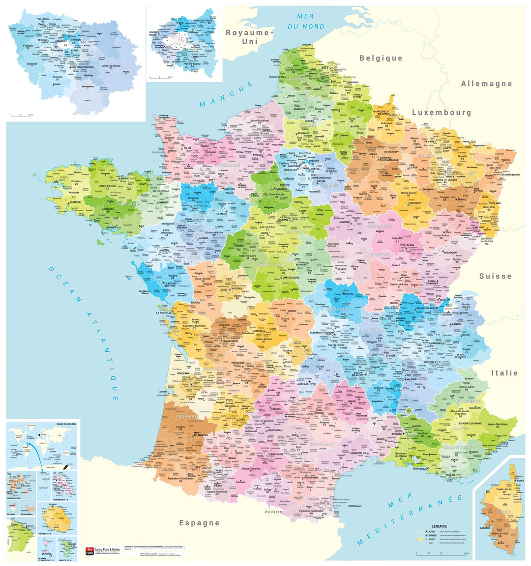
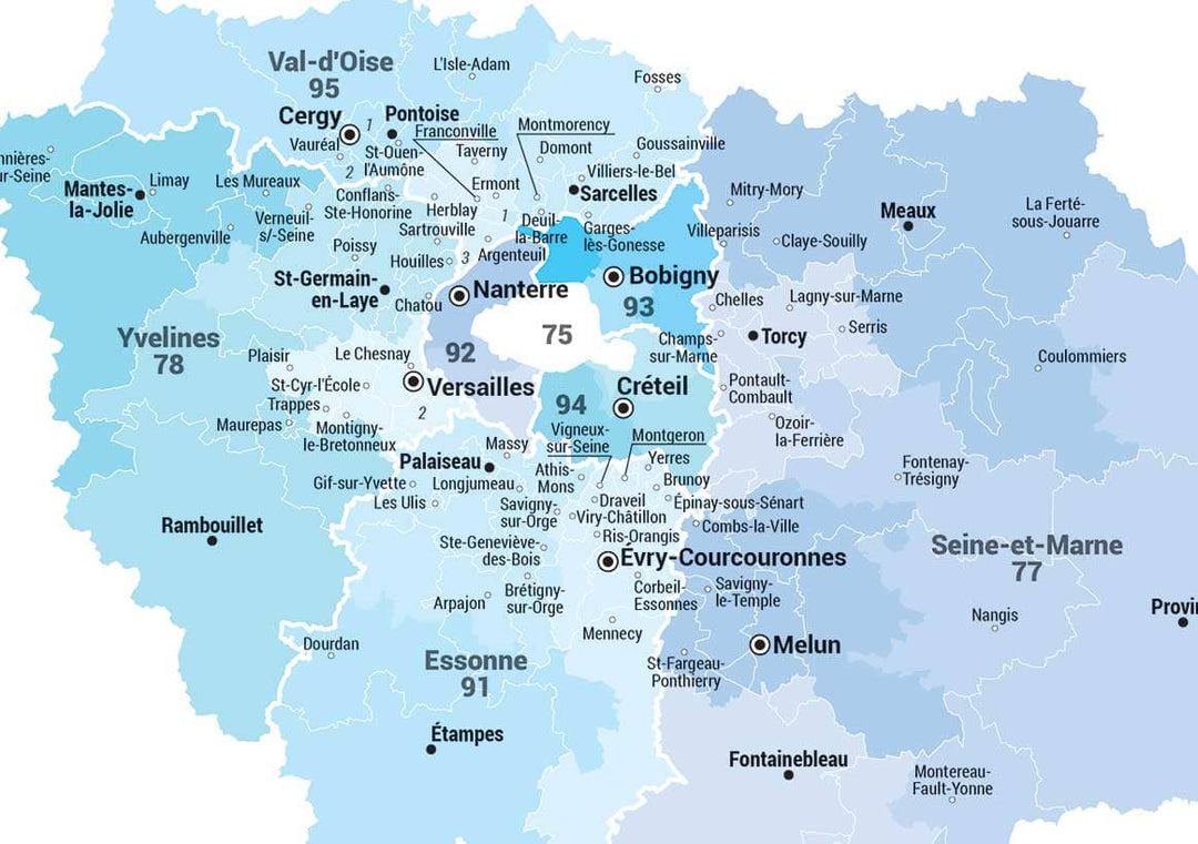
Laminated wall map - Administrative France (90 x 96 cm) | Blay Foldex
- Produit imprimé à la demande - Expédition en France seulement
- Frais de livraison calculés instantanément dans le panier
Plus de 19 500 cartes 🗺️ et guides de voyage, cartes de randonnée, posters, globes, déco en stock !
La Compagnie des Cartes devient Cartovia ✨ Notée Excellent ⭐️ sur Trustpilot (9 000+ avis).
Livraison gratuite pour toute commande > 50 € (cartes pliées et guides, France métropolitaine)
This matte-laminated administrative map offers a clear and detailed view of France. Thanks to a carefully selected range of colors, regions, departments, and cantonal cities are easily distinguished for better visual understanding. The map is designed to be both aesthetically pleasing and functional, making it ideal for professional or personal use.
Regional boundaries and capitals
Department boundaries and prefectures
District boundaries and capitals
Limits and capitals of canton-city
Name of the canton-city, when it differs from its central office
Date de publication : 2021
Impression: front
Dimensions déplié(e) : 90 x 96 cm
Langue : French
L'infolettre exclusive des passionnés de voyage et de découverte !