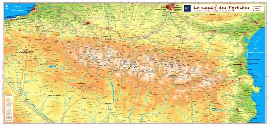
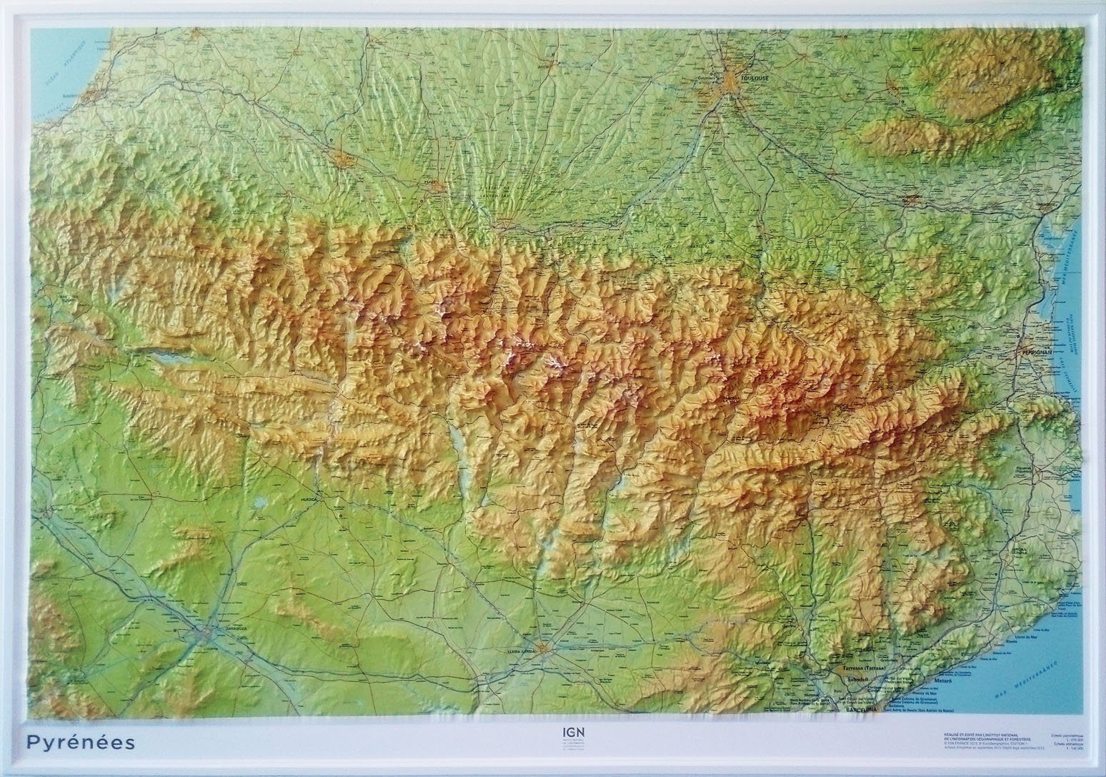
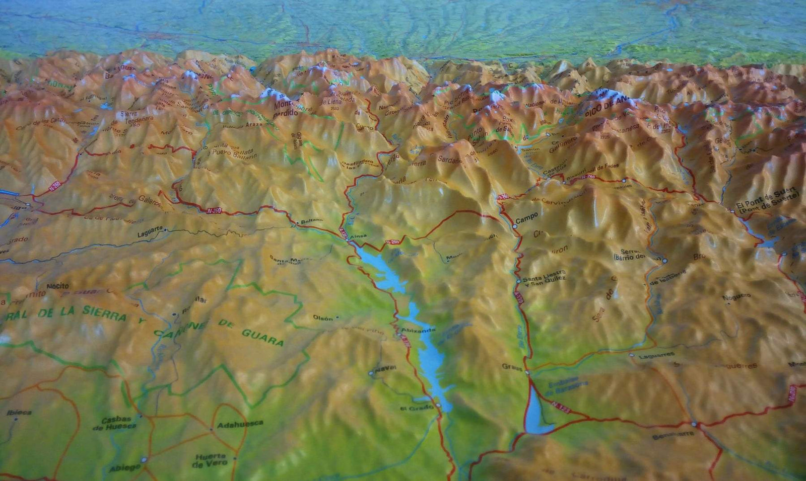
Relief map - The Pyrenees massif and the routes to Santiago de Compostela - 62 X 32 cm
- Choisissez votre mode et vos frais de livraison à l’étape de paiement, avant de valider.
- Retours gratuits (*)
- Stocks en temps réel
Plus de 19 500 cartes 🗺️ et guides de voyage, cartes de randonnée, posters, globes, déco en stock !
La Compagnie des Cartes devient Cartovia ✨ Notée Excellent ⭐️ sur Trustpilot (9 000+ avis).
Livraison gratuite pour toute commande > 50 € (cartes pliées et guides, France métropolitaine)
Thematic hiking map developed in collaboration with the French Hiking Federation (FFRP) and the French Agency for the Ways of Compostela.
This relief map of the Pyrenees is crossed by the major hiking trails (GR®) to Santiago de Compostela: the coastal route, the Vézelay route, the Puy-en-Velay route, the Arles route, the Pyrenean foothills route, the Via Garona, and the Great Pyrenees Crossing (GR10®)
ISBN/EAN : 9782361681333
Publication date: 2023
Scale: 1.9cm=10km
Printed sides: front
Unfolded dimensions: 62x42cm
Language(s): French
Weight:
50 g
L'infolettre exclusive des passionnés de voyage et de découverte !