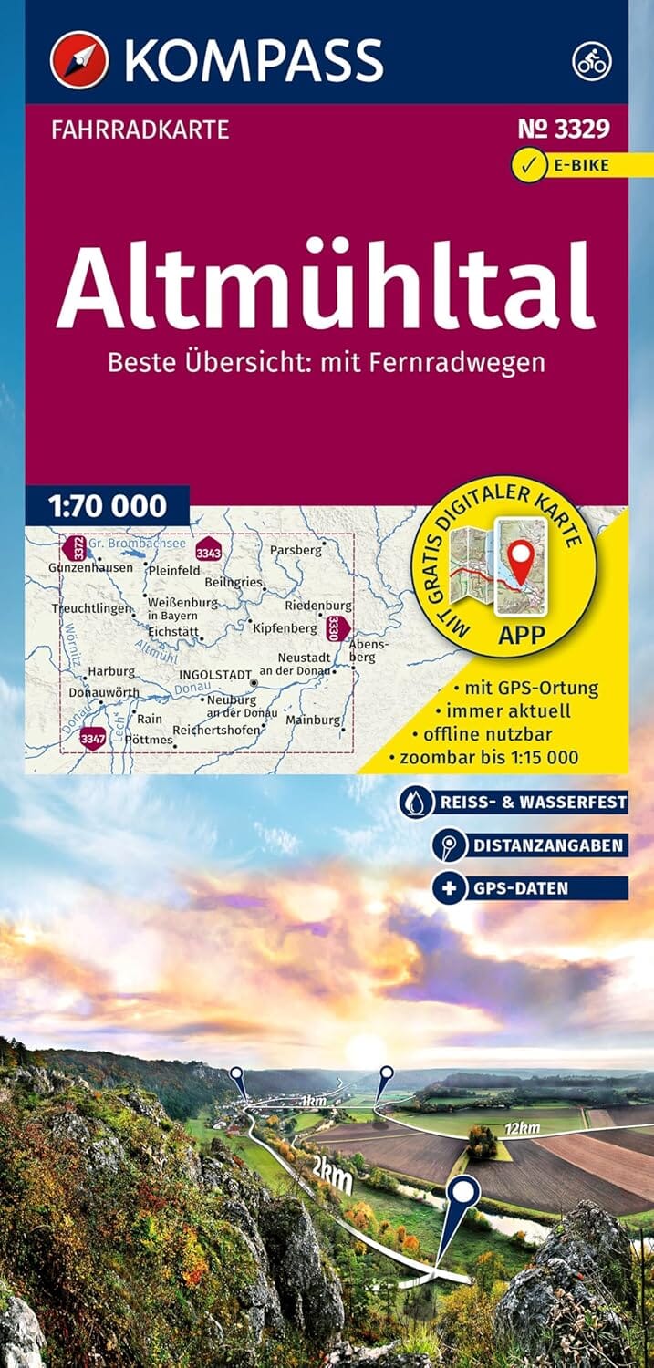
Kompass cycle map – Altmühltal (Germany)
Scale: 1:70,000
Waterproof and tear resistant
🚴♀️ An ideal map for demanding cyclists
The Kompass Altmühl Valley cycling map offers an excellent compromise between level of detail and regional coverage . Designed for easy planning and orientation during your cycling tours, it is printed on robust paper that withstands rain, wind and wear over time .
🌄 About the region:
Nestled in the heart of Bavaria, the Altmühl Valley captivates with its rolling landscapes , lush forests and peaceful river . Along the route, cyclists will discover:
-
Historic towns like Eichstätt and Kelheim
-
Spectacular rock formations
-
Picturesque castles
-
Lakes and natural parks ideal for relaxation
✅ Map benefits at a glance:
-
All long-distance cycle paths , main and secondary, with names and symbols
-
Electric bike charging stations , rental and repair stations
-
Information on road conditions , stations , supply points , ferries
-
Convenient map format to take anywhere
-
Precise distances between two points on the route
-
Slope arrows indicating ascents and descents (moderate or steep)
-
GPS data available for download (GPX tracks)
-
Map also available in the KOMPASS app
-
Tear and weather resistant paper